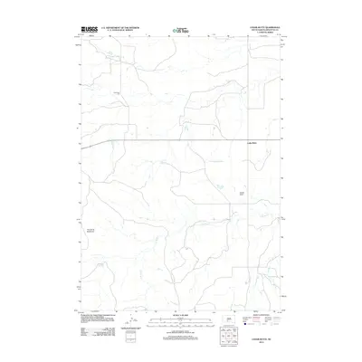
2012 Map of Cedar Butte
USGS Topo · Published 2012About this map
Cedar Butte anchors this Mellette County landscape, situated within the Swift Bear Segment. The map reveals a sparsely settled region of the Great Plains characterized by distinct geological features and watercourses. To the northwest, the Cedarbutte Cem stands as a focal point for genealogical interest, while the terrain is defined by descriptive landmarks such as The Devils Backbone and Devils Gate. The hydrology of the area is dominated by the winding path of N Br Pine Cr, which draws from several smaller drainages including the uniquely named Klinking Beard Draw. This 2012 survey illustrates the section-line road network and topography of the South Dakota prairie, highlighting the relationship between the small settlement of Cedar Butte and its surrounding natural landmarks.
Find a feature on this map
6 named features on this map. Tap any name to fly to it.
Don’t see what you’re looking for? This feature index may not catch every label — zoom into the map to look around manually.
Map Details
Editions of this 2012 Cedar Butte Map
This is the sole edition of this map. No revisions or reprints were ever made.
Other maps of this area

1951 · Cedar Butte NW
USGS Topo · 1:24,000

1951 · Cedar Butte NE
USGS Topo · 1:24,000

1951 · Murdo 3 NW
USGS Topo · 1:24,000

1955 · Martin
USGS Topo · 1:250,000

1958 · Martin
USGS Topo · 1:250,000

1969 · Norris
USGS Topo · 1:24,000

1969 · Parmelee NE
USGS Topo · 1:24,000

1969 · Soldier Creek NW
USGS Topo · 1:24,000

1980 · Kadoka
USGS Topo · 1:100,000

1981 · Cedar Butte
USGS Topo · 1:25,000
Featured Places
- Swift Bear Segment, SD
- Cedar Butte, SD
- Corn Creek Segment, SD
- Horse Creek Segment, SD
- Black Pipe Segment, SD