Old Maps of Beaver Township, South Dakota
Explore 24 old maps of Beaver Township, spanning from 1899 to today. These high-resolution historic maps reveal how streets, neighborhoods, landmarks, and natural features evolved over time — perfect for genealogy, metal detecting, research, and local history exploration.
What you can do with these maps:
- See how Beaver Township changed over time: Compare historical maps to modern-day views to trace roads, homesites, rail lines & more.
- View detailed metadata: Each map includes creators, publishers, year, scale, and archive source.
- Overlay maps with satellite & LiDAR: Visualize the past alongside modern tools to explore terrain & human change.
- Trusted historical sources: Maps sourced from the USGS, Library of Congress, and other archives.
- Access maps your way: View online, download high-res files, or order prints for personal or research use.
Start exploring old maps of Beaver Township to uncover forgotten places, hidden landmarks, and the deep history beneath your feet.
Beaver Township, SD maps
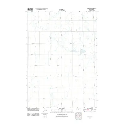
(24)- 1899 Map of Alexandria
 1899 Alexandria1899 Print · USGSHanson County and the James River valley are captured here at the peak of the late-nineteenth-century rail boom. Genealogists can trace family footprints in early settlements like Rockport, Epiphany, and Alexandria or follow the path of the James River.5 unique versions available
 - 1955 Map of Sioux Falls, 1967 Print
 1955 Sioux Falls1967 Print · USGSThe eastern South Dakota and western Minnesota borderlands come alive in the mid-fifties, showing the vital rail-to-river connections of the era. Genealogists can trace family footprints across townships like Madison and Pipestone, while following the paths of the Big Sioux River and the Chicago and North Western line.3 unique versions available
 - 1958 Map of Sioux Falls
 1958 Sioux Falls1958 Print · USGSThe tri-state borderlands of South Dakota, Minnesota, and Iowa are captured here during the mid-century peak of the regional rail network. Genealogists and historians can trace local landmarks like Augustana Academy, the St Marys Cem, and the path of the Illinois Central through Rock Rapids.
 - 1973 Map of Morris Lake, 1978 Print
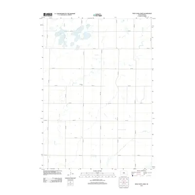
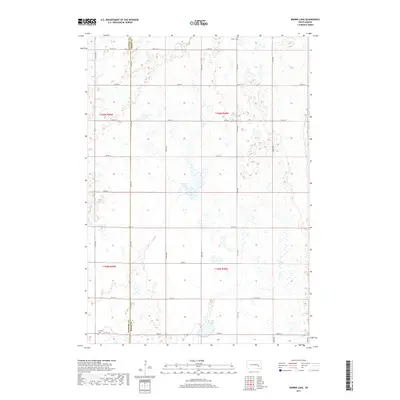
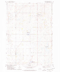 1973 Morris Lake1978 Print · USGSThe border of Sanborn and Miner Counties was a landscape of conservation and prairie agriculture in the 1970s. Researchers can locate landmarks like Beulah Ch and Farwell Cem, or trace the wetlands of O'Neal Lake and the Morris Lake shooting area.
 - 1973 Map of Ness Chain Lakes, 1978 Print
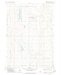
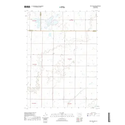
 1973 Ness Chain Lakes1978 Print · USGSThe tri-county borderlands of Sanborn, Miner, and Hanson counties are documented in the 1970s, showcasing a landscape of prairie potholes and wetlands. Researchers can trace the rural layout of Fairview and find local landmarks like Redstone Cem and Lake Leo.
 - 1973 Map of Bitter Lake, 1978 Print
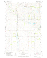
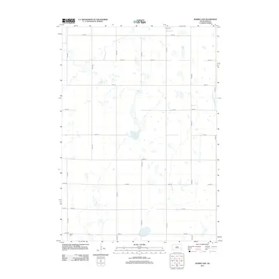
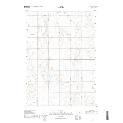
 1973 Bitter Lake1978 Print · USGSThe prairie wetlands of Miner County are frozen in time here during the early 1970s. Trace the rural landscape through family landmarks like Roswell Cem and the remote Townhall, or explore the protected waters of Bitter Lake and Twin Lakes.
 - 1973 Map of Epiphany, 1978 Print
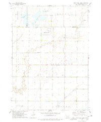
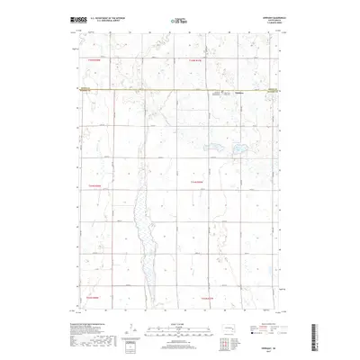
 1973 Epiphany1978 Print · USGSThe border of Miner and Hanson Counties comes into focus in the 1970s, revealing a landscape of prairie wetlands and rural townships. Genealogists and outdoorsmen can trace land around Epiphany or explore the boundaries of the Long Lake State Public Shooting Area and Spring Lake.
 - 1985 Map of Salem
 1985 Salem1985 Print · USGSEastern South Dakota’s prairie landscape is showcased in the mid-eighties, highlighting a region defined by agricultural colonies and rail-linked towns. Genealogists and historians can trace the foundations of Rosedale Colony, the Buffalo Trading Post, and early hubs like Salem.
 - 2012 Map of Epiphany, 2012 Print
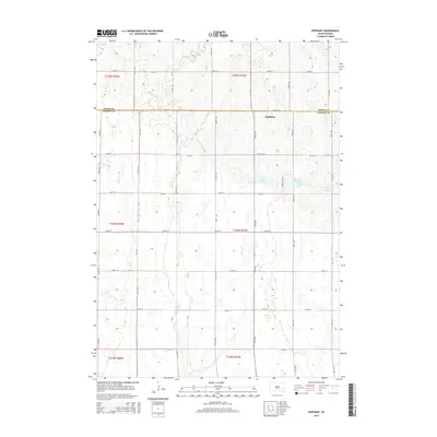
 2012 Epiphany2012 Print · USGSCovers Beaver Township, including Edgerton Township, Rock Creek Township, and other nearby areas
 - 2012 Map of Bitter Lake, 2012 Print
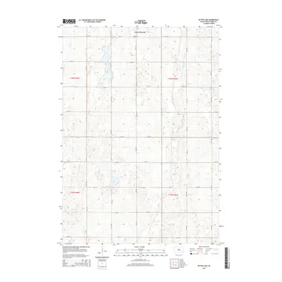
 2012 Bitter Lake2012 Print · USGSCovers Beaver Township, including Rock Creek Township, Clinton Township, and other nearby areas
 - 2012 Map of Morris Lake, 2012 Print
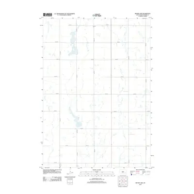
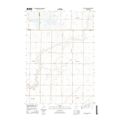
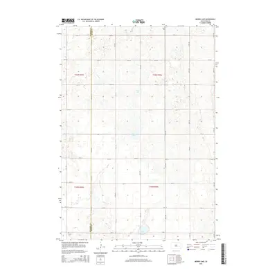
 2012 Morris Lake2012 Print · USGSCovers Beaver Township, including Diana Township, Ravenna Township, and other nearby areas
 - 2012 Map of Ness Chain Lakes, 2012 Print
 2012 Ness Chain Lakes2012 Print · USGSCovers Beaver Township, including Jasper Township, Ravenna Township, and other nearby areas
 - 2015 Map of Epiphany, 2015 Print
 2015 Epiphany2015 Print · USGSCovers Beaver Township, including Edgerton Township, Rock Creek Township, and other nearby areas
 - 2015 Map of Ness Chain Lakes, 2015 Print
 2015 Ness Chain Lakes2015 Print · USGSCovers Beaver Township, including Jasper Township, Ravenna Township, and other nearby areas
 - 2015 Map of Morris Lake, 2015 Print
 2015 Morris Lake2015 Print · USGSCovers Beaver Township, including Diana Township, Ravenna Township, and other nearby areas
 - 2015 Map of Bitter Lake, 2015 Print
 2015 Bitter Lake2015 Print · USGSCovers Beaver Township, including Rock Creek Township, Clinton Township, and other nearby areas
 - 2017 Map of Ness Chain Lakes, 2017 Print
 2017 Ness Chain Lakes2017 Print · USGSCovers Beaver Township, including Jasper Township, Ravenna Township, and other nearby areas
 - 2017 Map of Bitter Lake, 2017 Print
 2017 Bitter Lake2017 Print · USGSCovers Beaver Township, including Rock Creek Township, Clinton Township, and other nearby areas
 - 2017 Map of Epiphany, 2017 Print
 2017 Epiphany2017 Print · USGSCovers Beaver Township, including Edgerton Township, Rock Creek Township, and other nearby areas
 - 2017 Map of Morris Lake, 2017 Print
 2017 Morris Lake2017 Print · USGSCovers Beaver Township, including Diana Township, Ravenna Township, and other nearby areas
 - 2021 Map of Morris Lake, 2021 Print
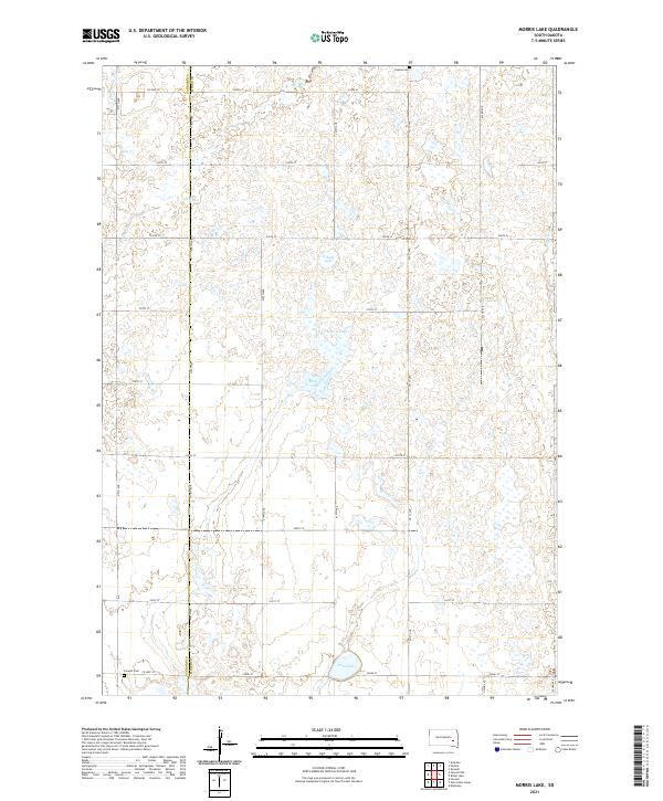 2021 Morris Lake2021 Print · USGSMiner and Sanborn counties are captured here in the early twenty-first century, showing a prairie landscape shaped by seasonal waters and section-line roads. Genealogists and local historians can locate Fedora Cem and Farwell Cem or trace the drainage of Jim Cr and Morris Lake.
 - 2021 Map of Ness Chain Lakes, 2021 Print
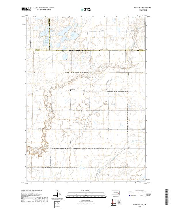 2021 Ness Chain Lakes2021 Print · USGSHanson and Sanborn counties are captured here in the early twenty-first century, showing a landscape defined by prairie potholes and glacial drainage. Genealogists and researchers can locate Redstone Cem and trace the complex shorelines of Ness Chain Lake and Stone House Lake.
 - 2021 Map of Bitter Lake, 2021 Print
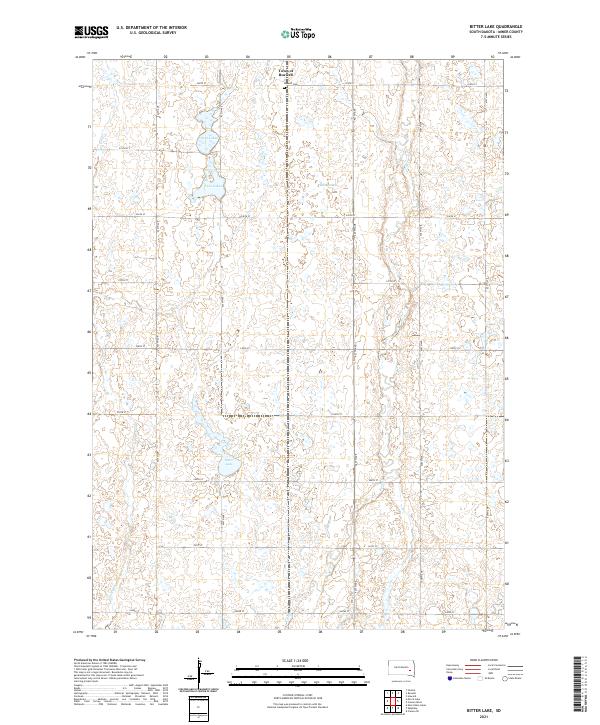 2021 Bitter Lake2021 Print · USGSMiner County's prairie landscape is captured in the early 2020s, showing a region defined by agricultural grids and glacial wetlands. Genealogists and researchers can locate the Town of Roswell, trace the Roswell Cem, and explore the banks of Bitter Lake or the Twin Lakes.
 - 2021 Map of Epiphany, 2021 Print
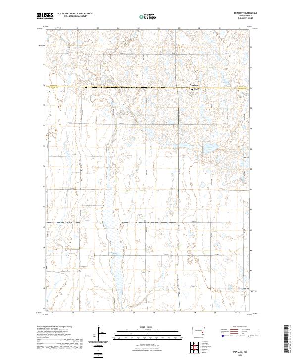 2021 Epiphany2021 Print · USGSThe community of Epiphany and the surrounding prairie are captured here during the 2020s as modern agriculture and tradition intersect. Family historians and local researchers can locate Holy Three Kings Cem and trace the drainage of Long Lake and Pierre Cr.
End of results
Showing maps 1-24 of 24
Top cities near Beaver Township
- Mitchell historical maps
- Spencer historical maps
- Artesian historical maps
- Plano historical maps
- Fulton historical maps
- Farmer historical maps
See more
Frequently asked questions
- What are the different types of historical maps available for Beaver Township?
- What is the oldest map of Beaver Township?
- Where can I purchase historical maps of Beaver Township for my home or office?
- Where can I download high-res historical maps of Beaver Township?
- Are there historical topographic maps available for Beaver Township?
- Is there historical aerial imagery available for Beaver Township?
- Where are historical maps of Beaver Township sourced from?