Old Maps of Carthage Township, South Dakota for Academic Research
Study the evolution of Carthage Township with 25 high-resolution historic maps. Whether you're teaching, researching, or modeling changes in land use, these maps provide essential visual documentation of urban, environmental, and geographic change.
- Analyze long-term change: Track patterns in development, transportation, and natural features.
- Ideal for environmental or urban studies: Support academic projects with primary historical map data.
- Use in the classroom or lab: Educators and researchers rely on these maps to bring historical context to life.
These maps are a powerful tool for teaching, research, and visualizing how Carthage Township has changed over the decades.
Carthage Township, SD maps
(25)- 1899 Map of De Smet
 1899 De Smet1899 Print · USGSEastern South Dakota in the 1890s appears as a landscape of rapid rail expansion and nascent prairie towns. You can trace early settlement patterns and transport hubs like De Smet, Carthage, and Iroquois along the Chicago and Northwestern R. R.2 unique versions available
 - 1953 Map of Watertown, 1968 Print
 1953 Watertown1968 Print · USGSEastern South Dakota and the Minnesota borderlands are captured here during the mid-twentieth century as the region's agricultural and rail-service centers thrived. Genealogists and local historians can trace family-named sites across the Coteau des Prairies and find landmarks in Watertown, De Smet, and Brookings.3 unique versions available
 - 1958 Map of Watertown
 1958 Watertown1958 Print · USGSThe eastern South Dakota prairie and the Minnesota borderlands are captured here in the late fifties, showcasing a landscape of terminal moraine lakes and burgeoning rail hubs. Genealogists and historians can trace the early paths of the Chicago and North Western railroad or locate family roots in Watertown, Clark, or the Sisseton Indian Reservation.2 unique versions available
 - 1971 Map of Howard NE, 1973 Print
 1971 Howard NE1973 Print · USGSMiner County farming and communal life are documented here in the early 1970s. Researchers can trace the Cloverleaf Colony, explore the West Fork Vermillion River valley, and locate Gravel Pits across the prairie.
 - 1971 Map of Howard, 1973 Print
 1971 Howard1973 Print · USGSMiner County, South Dakota, is captured here in the early seventies, showcasing a landscape of prairie townships and rail-connected towns. Genealogists and historians can locate St. Johns Cemetery, trace the Chicago and North Western tracks through Vilas, or explore the streets of Howard.
 - 1971 Map of Carthage, 1973 Print
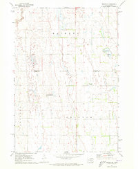
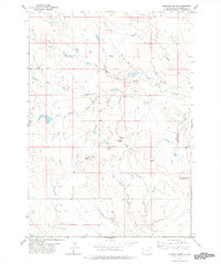
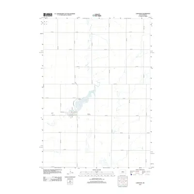
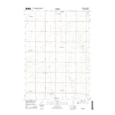
 1971 Carthage1973 Print · USGSCarthage and its surrounding prairie townships are captured here in the early seventies during a period of agricultural stability. Researchers can locate family plots at Sacred Heart Cem or trace the Chicago and North Western rail route past Lake Carthage.
 - 1972 Map of Roswell, 1973 Print
 1972 Roswell1973 Print · USGSMiner County is captured in the early 1970s, showcasing a landscape defined by the intersection of rail and prairie. Researchers can trace the paths of the Chicago and North Western and Chicago Milwaukee St Paul and Pacific railroads near Roswell and Argonne.
 - 1978 Map of Roswell
 1978 Roswell1978 Print · USGSHarding County ranching country is captured here in the late seventies, showing a landscape defined by the forks of the Moreau River. Researchers can trace the water-dependent infrastructure of the era, from named landmarks like Roundup Butte to Stockade Draw and Sand Creek.
 - 1985 Map of De Smet, 1986 Print
 1985 De Smet1986 Print · USGSEastern South Dakota in the mid-eighties shows a landscape of prairie rail towns and sprawling glacial lakes. Researchers can trace the routes of the Chicago and North Western through De Smet or locate communal sites like Pearl Creek Colony and Cloverleaf Colony.3 unique versions available
 - 2012 Map of Roswell, 2012 Print
 2012 Roswell2012 Print · USGSCovers Carthage Township, including Roswell, Argonne, and other nearby areas
 - 2012 Map of Howard, 2012 Print
 2012 Howard2012 Print · USGSCovers Carthage Township, including Howard, Vilas, and other nearby areas
 - 2012 Map of Howard NE, 2012 Print
 2012 Howard NE2012 Print · USGSCovers Carthage Township, including Cloverleaf Colony, Grafton Township, and other nearby areas
 - 2012 Map of Carthage, 2012 Print
 2012 Carthage2012 Print · USGSCovers Carthage Township, including Carthage, Esmond Township, and other nearby areas
 - 2015 Map of Howard, 2015 Print
 2015 Howard2015 Print · USGSCovers Carthage Township, including Howard, Vilas, and other nearby areas
 - 2015 Map of Howard NE, 2015 Print
 2015 Howard NE2015 Print · USGSCovers Carthage Township, including Cloverleaf Colony, Grafton Township, and other nearby areas
 - 2015 Map of Carthage, 2015 Print
 2015 Carthage2015 Print · USGSCovers Carthage Township, including Carthage, Esmond Township, and other nearby areas
 - 2015 Map of Roswell, 2015 Print
 2015 Roswell2015 Print · USGSCovers Carthage Township, including Roswell, Argonne, and other nearby areas
 - 2017 Map of Howard, 2017 Print
 2017 Howard2017 Print · USGSCovers Carthage Township, including Howard, Vilas, and other nearby areas
 - 2017 Map of Howard NE, 2017 Print
 2017 Howard NE2017 Print · USGSCovers Carthage Township, including Cloverleaf Colony, Grafton Township, and other nearby areas
 - 2017 Map of Roswell, 2017 Print
 2017 Roswell2017 Print · USGSCovers Carthage Township, including Roswell, Argonne, and other nearby areas
 - 2017 Map of Carthage, 2017 Print
 2017 Carthage2017 Print · USGSCovers Carthage Township, including Carthage, Esmond Township, and other nearby areas
 - 2021 Map of Howard, 2021 Print
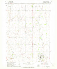
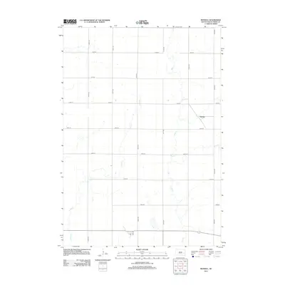
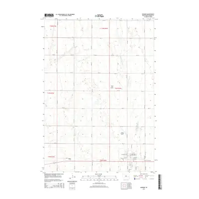
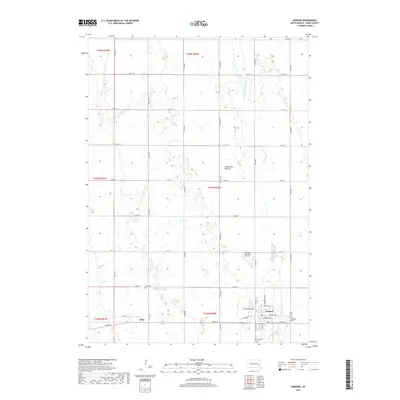
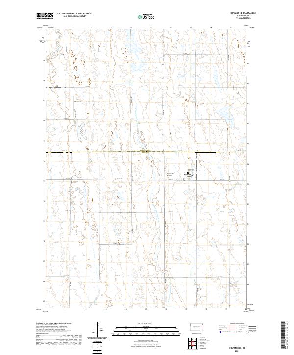
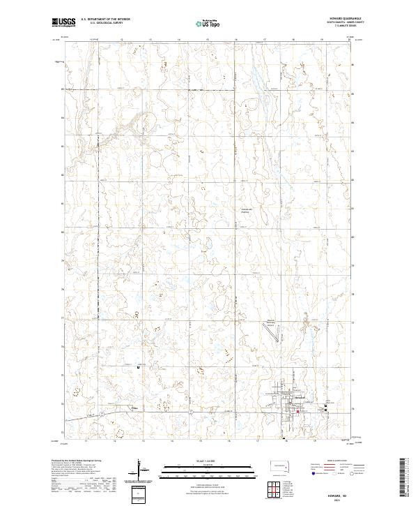 2021 Howard2021 Print · USGSMiner County's prairie landscape is recorded here in the early twenty-first century, centered on the county seat and the agricultural grid. Genealogists can trace family plots at Saint Joseph's Cem and IOOF Cem, or locate the Miner County Courthouse in Howard.
 - 2021 Map of Roswell, 2021 Print
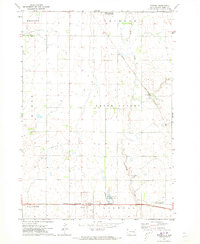
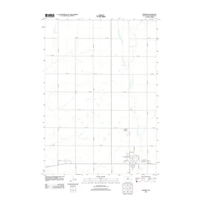
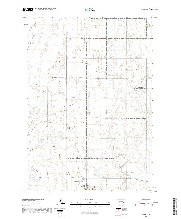 2021 Roswell2021 Print · USGSMiner County's eastern plains are captured here in the early twenty-first century, showing a landscape defined by the Coteau des Prairies and a precise section-line grid. Local historians can locate the Town of Roswell, find the Saint Nicholas Cem, and trace the rural community of Argonne.
 - 2021 Map of Carthage, 2021 Print
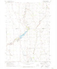
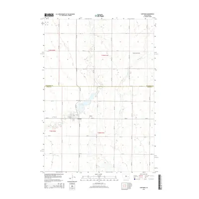
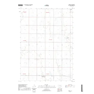
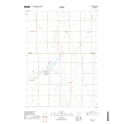
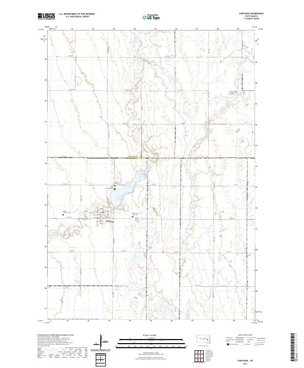 2021 Carthage2021 Print · USGSCarthage and the surrounding farmland on the Kingsbury and Miner county line are documented here in the early twenty-first century. Genealogists can pinpoint local landmarks including Sacred Heart Cem and Lake Carthage near the Redstone Creek drainage.
 - 2021 Map of Howard NE, 2021 Print
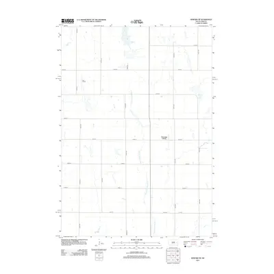
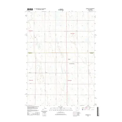
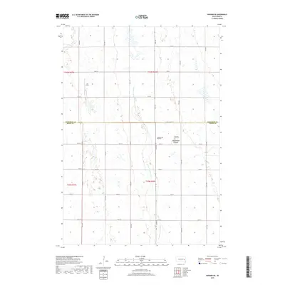
 2021 Howard NE2021 Print · USGSThe high glacial plains of the Coteau des Prairies stretch across the Kingsbury and Miner county line in the early twenty-first century. Researchers can locate the communal Cloverleaf Colony and its cemetery, or trace the W Fork Vermillion River.
End of results
Showing maps 1-25 of 25
Top cities near Carthage Township
- Howard historical maps
- Iroquois historical maps
- Carthage historical maps
- Esmond historical maps
- Roswell historical maps
- Vilas historical maps
Top neighborhoods of Carthage Township
Frequently asked questions
- What are the different types of historical maps available for Carthage Township?
- What is the oldest map of Carthage Township?
- Where can I purchase historical maps of Carthage Township for my home or office?
- Where can I download high-res historical maps of Carthage Township?
- Are there historical topographic maps available for Carthage Township?
- Is there historical aerial imagery available for Carthage Township?
- Where are historical maps of Carthage Township sourced from?