2000s (21st Century) Maps of Highland Township, South Dakota
Explore 9 historic maps of Highland Township from the 2000s (21st Century). These maps offer a rare glimpse into what life looked like during the 2000s — showing old roads, neighborhoods, homes, and landmarks that have changed or disappeared over time.
Whether you're researching your family's past, planning a metal detecting trip, or studying how Highland Township's landscape evolved across the 2000s, these high-resolution maps are a powerful tool for exploring the history of this region.
- Focus on a specific era: All maps on this page are from the 2000s, giving you a focused view of this time period.
- See what’s changed: Compare century-old streets, trails, and buildings to today's modern landscape using overlays and satellite layers.
- Research with precision: Use these maps for genealogy, historical research, land use analysis, or educational projects.
- View, download, or print: Maps are fully viewable online in high resolution, and can be downloaded or printed for your own records.
Start exploring Highland Township's history through authentic maps from the 2000s. This is your window into the past.
Highland Township, SD maps
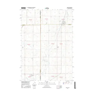
(9)- 2010 Map of Jasper, 2010 Print
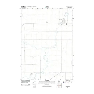 2010 Jasper2010 Print · USGSCovers Highland Township, including Jasper, Sherman, and other nearby areas
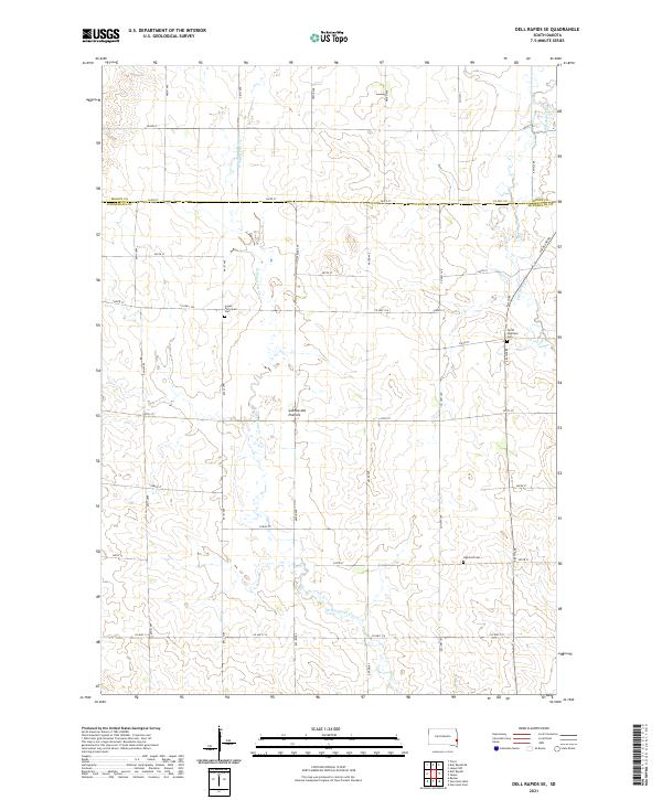
 - 2012 Map of Dell Rapids SE, 2012 Print
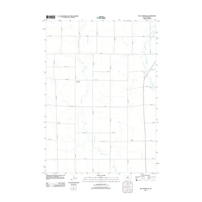 2012 Dell Rapids SE2012 Print · USGSCovers Highland Township, including Palisade Township, Edison Township, and other nearby areas
 - 2013 Map of Jasper, 2013 Print
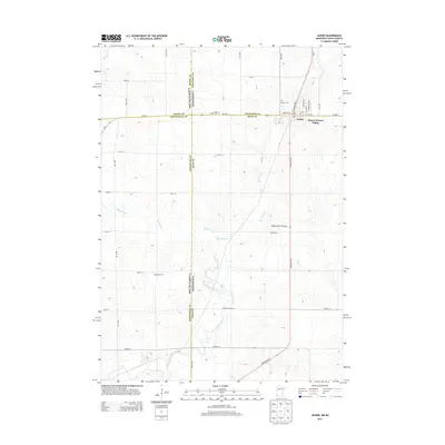 2013 Jasper2013 Print · USGSCovers Highland Township, including Jasper, Sherman, and other nearby areas
 - 2015 Map of Dell Rapids SE, 2015 Print
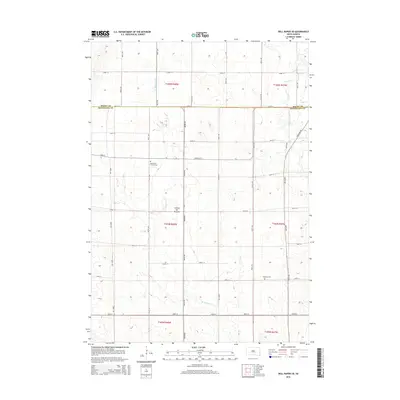 2015 Dell Rapids SE2015 Print · USGSCovers Highland Township, including Palisade Township, Edison Township, and other nearby areas
 - 2016 Map of Jasper, 2016 Print
 2016 Jasper2016 Print · USGSCovers Highland Township, including Jasper, Sherman, and other nearby areas
 - 2017 Map of Dell Rapids SE, 2017 Print
 2017 Dell Rapids SE2017 Print · USGSCovers Highland Township, including Palisade Township, Edison Township, and other nearby areas
 - 2019 Map of Jasper, 2019 Print
 2019 Jasper2019 Print · USGSCovers Highland Township, including Jasper, Sherman, and other nearby areas
 - 2021 Map of Dell Rapids SE, 2021 Print
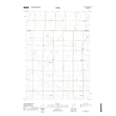
 2021 Dell Rapids SE2021 Print · USGSMinnehaha County at the start of the 2020s shows a landscape of glacial plateaus and structured farmland along the Minnesota border. Researchers can trace local heritage through the Logan Reformed Cem, the historic Coteau des Prairies terrain, and the winding path of W Pipestone Cr.
 - 2022 Map of Jasper, 2022 Print
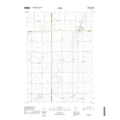
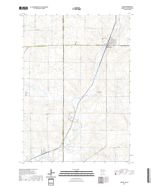 2022 Jasper2022 Print · USGSThe border between Minnesota and South Dakota comes alive on this survey of the northern prairie. Genealogists can locate family sites at Old Highland Cem or Rosendal Cem and trace the rail-aligned streets of Jasper and Sherman.
End of results
Showing maps 1-9 of 9
Top cities near Highland Township
- Sioux Falls historical maps
- Brandon historical maps
- Pipestone historical maps
- Dell Rapids historical maps
- Garretson historical maps
- Valley Springs historical maps
See more
Frequently asked questions
- What are the different types of historical maps available for Highland Township?
- What is the oldest map of Highland Township?
- Where can I purchase historical maps of Highland Township for my home or office?
- Where can I download high-res historical maps of Highland Township?
- Are there historical topographic maps available for Highland Township?
- Is there historical aerial imagery available for Highland Township?
- Where are historical maps of Highland Township sourced from?