Old Maps of Wall Lake Township, South Dakota for Genealogy
Trace your family roots with 29 historic maps of Wall Lake Township. These high-res maps reveal old neighborhoods, homesites, landmarks, and streets — helping you uncover where your ancestors lived and how the area evolved over time.
- Explore historic neighborhoods: Identify where your relatives may have lived in the 1800s or 1900s.
- Compare maps over time: Trace the changes in streets, buildings, and landmarks for multi-generational research.
- Perfect for genealogy & ancestry research: Used by family historians and researchers to map out lineage and migration.
These maps are an incredible resource for exploring your personal connection to Wall Lake Township's past.
Wall Lake Township, SD maps
(29)- 1897 Map of Canton, 1954 Print
 1897 Canton1954 Print · USGSSoutheastern South Dakota and the Iowa borderlands were undergoing a railway-driven expansion during the 1890s. Genealogists and historians can trace early settlements like Beloit, Centerville, and Lennox as they grew along the Big Sioux River.
 - 1898 Map of Parker
 1898 Parker1898 Print · USGSSoutheastern South Dakota in the late nineteenth century shows a landscape defined by the expansion of the Chicago and Northwestern railroad. Genealogists and local historians can trace early settlements and pioneer-era post offices like Idylwilde, Hurley, and the prominent rise of Turkey Ridge.4 unique versions available
 - 1900 Map of Canton
 1900 Canton1900 Print · USGSSoutheastern South Dakota and the Iowa borderlands are captured here at a peak of late-nineteenth-century rail expansion. Genealogists can trace the early foundations of towns like Canton, Centerville, and Beresford along the Big Sioux River.2 unique versions available
 - 1955 Map of Sioux Falls, 1967 Print
 1955 Sioux Falls1967 Print · USGSThe eastern South Dakota and western Minnesota borderlands come alive in the mid-fifties, showing the vital rail-to-river connections of the era. Genealogists can trace family footprints across townships like Madison and Pipestone, while following the paths of the Big Sioux River and the Chicago and North Western line.3 unique versions available
 - 1958 Map of Sioux Falls
 1958 Sioux Falls1958 Print · USGSThe tri-state borderlands of South Dakota, Minnesota, and Iowa are captured here during the mid-century peak of the regional rail network. Genealogists and historians can trace local landmarks like Augustana Academy, the St Marys Cem, and the path of the Illinois Central through Rock Rapids.
 - 1962 Map of Hartford South, 1964 Print
 1962 Hartford South1964 Print · USGSMinnehaha County in the early sixties shows a rural landscape on the cusp of change as the interstate highway system reaches the prairie. Researchers can trace dozens of family-named landmarks and country schools like Muchow Sch, Sunshine Sch, and Lakeview Sch.2 unique versions available
 - 1962 Map of Lennox NW, 1964 Print
 1962 Lennox NW1964 Print · USGSThe rural landscape of Turner County comes into focus in the early sixties, showing a region of dense family farms and township schools. Researchers can locate many local landmarks, from the Norwegian Cem and Chancellor Cem to the tracks of the Great Northern railroad.2 unique versions available
 - 1964 Map of Grass Lake, 1966 Print
 1964 Grass Lake1966 Print · USGSMinnehaha County's rural townships are captured in the mid-1960s, showing a landscape of prairie sloughs and small farm communities. Genealogists can locate family land near Union Center, Pumpkin Center, and local institutions like Midwest Sch No 71.
 - 1968 Map of Parker NE, 1971 Print
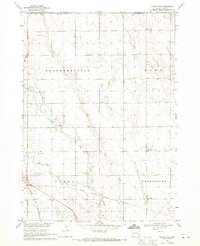 1968 Parker NE1971 Print · USGSTurner County farm country and the river forks near Parker are captured here in the late sixties. Genealogists can locate family landmarks like Wellington Cem or rural schoolhouses including Stanford Sch and Sletten Sch.
 - 1985 Map of Sioux Falls
 1985 Sioux Falls1985 Print · USGSIn the mid-1980s, the borderlands of South Dakota, Minnesota, and Iowa reveal a landscape shaped by the Big Sioux River and a growing urban hub. Researchers can trace the development of Sioux Falls and locate smaller communities like Dell Rapids, Garretson, and Valley Springs.2 unique versions available
 - 1985 Map of Salem
 1985 Salem1985 Print · USGSEastern South Dakota’s prairie landscape is showcased in the mid-eighties, highlighting a region defined by agricultural colonies and rail-linked towns. Genealogists and historians can trace the foundations of Rosedale Colony, the Buffalo Trading Post, and early hubs like Salem.
 - 1985 Map of Freeman
 1985 Freeman1985 Print · USGSThe James River valley in the mid-1980s reveals a landscape of communal farming colonies and railroad-anchored prairie towns. Researchers can trace the layout of several Hutterite settlements like Maxwell Colony or locate local landmarks like Gagna Station and Turkey Ridge.2 unique versions available
 - 1985 Map of Rock Rapids
 1985 Rock Rapids1985 Print · USGSThe borderlands of South Dakota and Iowa come into focus in the mid-1980s, centered on the fertile valleys of the Big Sioux River. Genealogists and researchers can trace rural homesteads near Rock Rapids, find Dordt College in Sioux Center, or locate old burial sites like Grace Hill Cem.2 unique versions available
 - 2012 Map of Grass Lake, 2012 Print
 2012 Grass Lake2012 Print · USGSMinnehaha County's rural township landscape is documented here in the early twenty-first century, showing a network of prairie sloughs and small settlements. Researchers can locate Saint Joseph Catholic Cem and Pumpkin Center among features like Grass Lake.
 - 2012 Map of Parker NE, 2012 Print
 2012 Parker NE2012 Print · USGSThe agricultural plains of Turner County are mapped here in the early twenty-first century, showing a landscape defined by its section lines and prairie waterways. Genealogists and local researchers can locate Wellington Cem and trace the paths of Elce Cr and the Vermillion River.
 - 2012 Map of Lennox NW, 2012 Print
 2012 Lennox NW2012 Print · USGSTurner County's agricultural grid and prairie streams are captured in this study from the early twenty-first century. Genealogists and local researchers can locate family sites near Norwegian Cem and Chancellor Cem along the banks of Long Cr.
 - 2012 Map of Hartford South, 2012 Print
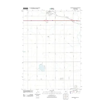 2012 Hartford South2012 Print · USGSHartford and the surrounding prairie lands of Minnehaha County are captured here in the early 2010s as the area balanced its farming roots with modern growth. Researchers can trace local lineage at Saint George Cem or explore the geography of Wall Lake and Fensterman Slough.
 - 2015 Map of Lennox NW, 2015 Print
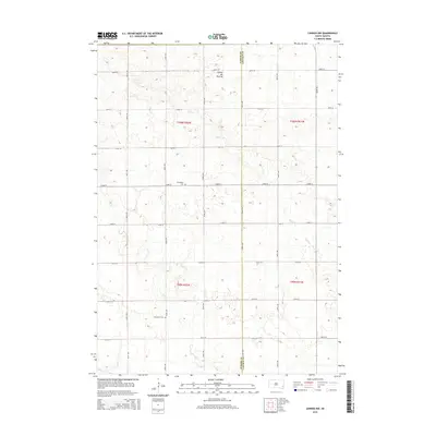 2015 Lennox NW2015 Print · USGSThe rural borderlands of Turner and Lincoln Counties are captured here in the mid-2010s. Genealogists and local historians can locate early burial grounds like Norwegian Cem and Chancellor Cem along the slopes of the Coteau des Prairies.
 - 2015 Map of Hartford South, 2015 Print
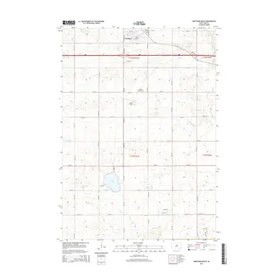 2015 Hartford South2015 Print · USGSMinnehaha County at the mid-point of the twenty-first century's second decade shows a mix of agricultural heritage and modern growth. Genealogists can locate Hartford Cem and Saint George Cem, while lakefront researchers can trace the roads around Wall Lake.
 - 2015 Map of Parker NE, 2015 Print
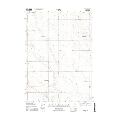 2015 Parker NE2015 Print · USGSParker and the surrounding Turner County townships appear here during the mid-2010s, showing the intersection of rural agriculture and the glacial Coteau des Prairies. Genealogists and locals can trace the W Fork Vermillion River and locate the Wellington Cem.
 - 2015 Map of Grass Lake, 2015 Print
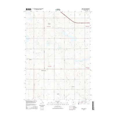 2015 Grass Lake2015 Print · USGSMinnehaha County's glaciated prairie landscape is captured here in the mid-2010s, showing a transition between agricultural plateaus and complex wetlands. Genealogists can locate the Saint Joseph Catholic Cem and German Methodist Cem near Pumpkin Center.
 - 2017 Map of Grass Lake, 2017 Print
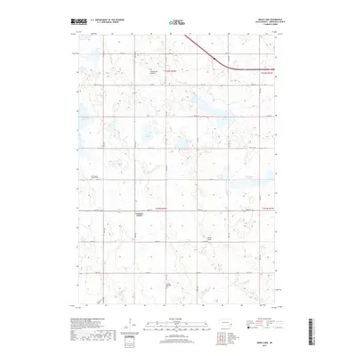 2017 Grass Lake2017 Print · USGSHumboldt Township and the surrounding Minnehaha County countryside are captured here in the late twenty-teens. Genealogists and local historians can trace the rural landscape through landmarks like Pumpkin Center, Saint Joseph Catholic Cem, and Grass Lake.
 - 2017 Map of Parker NE, 2017 Print
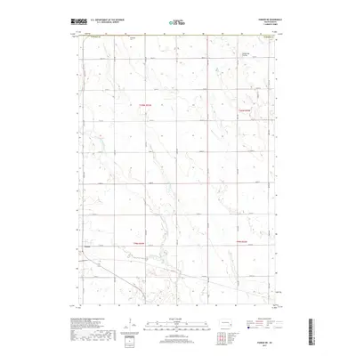 2017 Parker NE2017 Print · USGSParker and the surrounding Turner County agricultural lands are captured here in the late twenty-first century. Genealogists and local researchers can trace the section lines and rural road networks near Parker and the headwaters of Beaver Cr.
 - 2017 Map of Lennox NW, 2017 Print
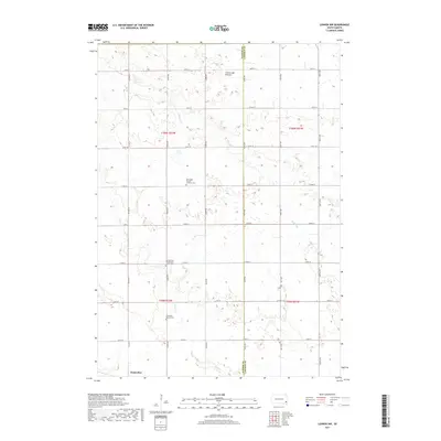 2017 Lennox NW2017 Print · USGSIn the modern era near the Turner and Lincoln county line, this prairie landscape preserves the heritage of early Upper Midwest settlers. Genealogists can locate family burial sites at Norwegian Pioneer Lutheran Cem or Chancellor Baptist Cem north of the town of Chancellor.
 - 2017 Map of Hartford South, 2017 Print
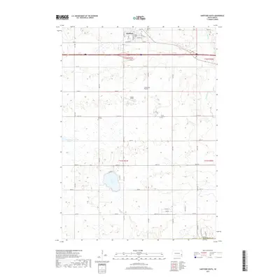 2017 Hartford South2017 Print · USGSMinnehaha County's prairie landscape is revealed in this 2010s survey of the Hartford area. Genealogists and local historians can trace family plots at Lutheran Zion Cem or Hartford Cem and explore the lakeside development around Wall Lake.
Showing maps 1-25 of 29
Top cities near Wall Lake Township
- Sioux Falls historical maps
- Harrisburg historical maps
- Tea historical maps
- Hartford historical maps
- Lennox historical maps
- Crooks historical maps
See more
Top neighborhoods of Wall Lake Township
Frequently asked questions
- What are the different types of historical maps available for Wall Lake Township?
- What is the oldest map of Wall Lake Township?
- Where can I purchase historical maps of Wall Lake Township for my home or office?
- Where can I download high-res historical maps of Wall Lake Township?
- Are there historical topographic maps available for Wall Lake Township?
- Is there historical aerial imagery available for Wall Lake Township?
- Where are historical maps of Wall Lake Township sourced from?