Old Maps of Pumpkin Center, Wellington Township for Metal Detecting
Plan your next treasure hunt with 8 historic maps of Pumpkin Center. Find old homesites, ghost towns, trails, and gathering spots that may be lost to time — perfect for identifying promising metal detecting locations.
- Locate forgotten sites: Uncover places like long-lost settlements, abandoned rail lines, or gathering spots.
- Plan better hunts: Use map overlays combined with LiDAR or satellite views to narrow in on historically rich areas.
- Made for detectorists: Thousands of hobbyists use these maps to discover relics, coins, and hidden history.
Use these historic maps to boost your research and find new opportunities beneath the surface of Pumpkin Center.
Pumpkin Center, Wellington Township maps
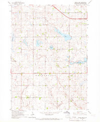
(8)- 1955 Map of Sioux Falls, 1967 Print
 1955 Sioux Falls1967 Print · USGSThe eastern South Dakota and western Minnesota borderlands come alive in the mid-fifties, showing the vital rail-to-river connections of the era. Genealogists can trace family footprints across townships like Madison and Pipestone, while following the paths of the Big Sioux River and the Chicago and North Western line.3 unique versions available
 - 1958 Map of Sioux Falls
 1958 Sioux Falls1958 Print · USGSThe tri-state borderlands of South Dakota, Minnesota, and Iowa are captured here during the mid-century peak of the regional rail network. Genealogists and historians can trace local landmarks like Augustana Academy, the St Marys Cem, and the path of the Illinois Central through Rock Rapids.
 - 1964 Map of Grass Lake, 1966 Print
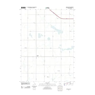
 1964 Grass Lake1966 Print · USGSMinnehaha County's rural townships are captured in the mid-1960s, showing a landscape of prairie sloughs and small farm communities. Genealogists can locate family land near Union Center, Pumpkin Center, and local institutions like Midwest Sch No 71.
 - 1985 Map of Salem
 1985 Salem1985 Print · USGSEastern South Dakota’s prairie landscape is showcased in the mid-eighties, highlighting a region defined by agricultural colonies and rail-linked towns. Genealogists and historians can trace the foundations of Rosedale Colony, the Buffalo Trading Post, and early hubs like Salem.
 - 2012 Map of Grass Lake, 2012 Print
 2012 Grass Lake2012 Print · USGSCovers Pumpkin Center, including Humboldt Township, Wellington Township, and other nearby areas
 - 2015 Map of Grass Lake, 2015 Print
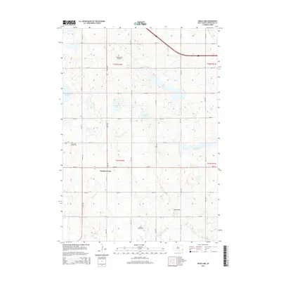 2015 Grass Lake2015 Print · USGSCovers Pumpkin Center, including Humboldt Township, Wellington Township, and other nearby areas
 - 2017 Map of Grass Lake, 2017 Print
 2017 Grass Lake2017 Print · USGSCovers Pumpkin Center, including Humboldt Township, Wellington Township, and other nearby areas
 - 2021 Map of Grass Lake, 2021 Print
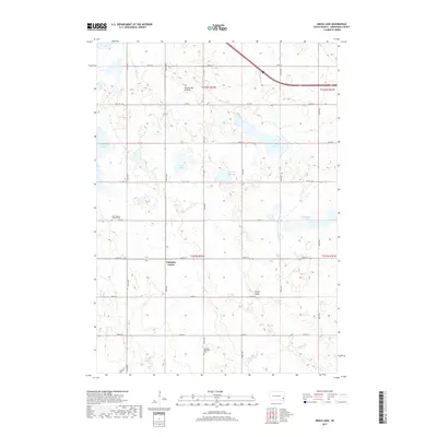
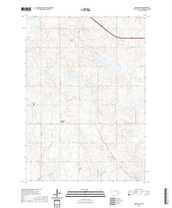 2021 Grass Lake2021 Print · USGSThe Minnehaha County prairie is captured here in the early twenty-first century, showing a landscape shaped by glacial history and the homesteaders' grid. Researchers can trace rural lineages at Saint Joseph Catholic Cem or explore the hydrology of Grass Lake and Long Cr.
End of results
Showing maps 1-8 of 8
Top cities near Pumpkin Center
- Hartford historical maps
- Lennox historical maps
- Parker historical maps
- Marion historical maps
- Lyons historical maps
- Canistota historical maps
See more
Frequently asked questions
- What are the different types of historical maps available for Pumpkin Center?
- What is the oldest map of Pumpkin Center?
- Where can I purchase historical maps of Pumpkin Center for my home or office?
- Where can I download high-res historical maps of Pumpkin Center?
- Are there historical topographic maps available for Pumpkin Center?
- Is there historical aerial imagery available for Pumpkin Center?
- Where are historical maps of Pumpkin Center sourced from?