Old Maps of Alliance Township, South Dakota for Academic Research
Study the evolution of Alliance Township with 25 high-resolution historic maps. Whether you're teaching, researching, or modeling changes in land use, these maps provide essential visual documentation of urban, environmental, and geographic change.
- Analyze long-term change: Track patterns in development, transportation, and natural features.
- Ideal for environmental or urban studies: Support academic projects with primary historical map data.
- Use in the classroom or lab: Educators and researchers rely on these maps to bring historical context to life.
These maps are a powerful tool for teaching, research, and visualizing how Alliance Township has changed over the decades.
Alliance Township, SD maps
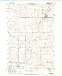
(25)- 1955 Map of Sioux Falls, 1967 Print
 1955 Sioux Falls1967 Print · USGSThe eastern South Dakota and western Minnesota borderlands come alive in the mid-fifties, showing the vital rail-to-river connections of the era. Genealogists can trace family footprints across townships like Madison and Pipestone, while following the paths of the Big Sioux River and the Chicago and North Western line.3 unique versions available
 - 1958 Map of Sioux Falls
 1958 Sioux Falls1958 Print · USGSThe tri-state borderlands of South Dakota, Minnesota, and Iowa are captured here during the mid-century peak of the regional rail network. Genealogists and historians can trace local landmarks like Augustana Academy, the St Marys Cem, and the path of the Illinois Central through Rock Rapids.
 - 1967 Map of Jasper, 1968 Print
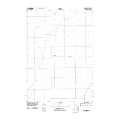
 1967 Jasper1968 Print · USGSThe tri-state border region of Minnesota and South Dakota was a busy rail and quarrying hub in the late sixties. Researchers can trace the Great Northern rail lines and locate family sites at Rosendal Cem or the village of Sherman.
 - 1967 Map of Jasper NW, 1968 Print
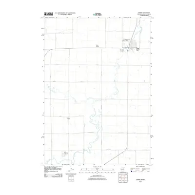
 1967 Jasper NW1968 Print · USGSThe borderlands of Minnesota and South Dakota are captured here in the late sixties, showing a landscape of family farms and rural townships. Researchers can trace local history at Lone Rock Ch, Eden Cem, and the old Townhall near Pipestone Creek.2 unique versions available
 - 1972 Map of Dell Rapids NE, 1973 Print
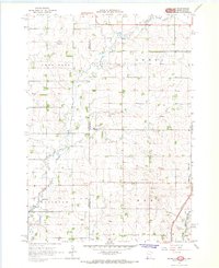
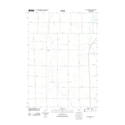
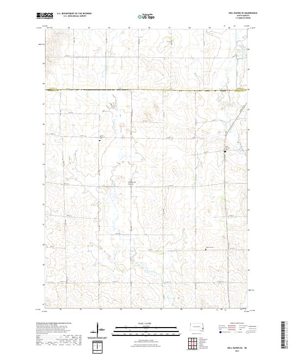
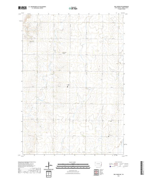
 1972 Dell Rapids NE1973 Print · USGSMoody County in the early seventies reveals a landscape of deep-rooted prairie settlements and family-run townships. Genealogists and local historians can trace legacy sites like the Swedish Augustana Cem, Oslo Cem, and Trinity Ch along the waters of Brookfield Creek.
 - 1972 Map of Dell Rapids SE, 1973 Print
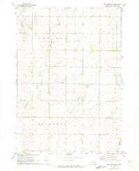
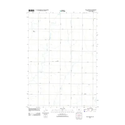
 1972 Dell Rapids SE1973 Print · USGSThe rural border between Moody and Minnehaha Counties comes into focus during the early 1970s, showcasing a landscape of prairie townships and creek valleys. Researchers can locate burial sites like Reformed Church Cem and trace the paths of Pipestone Creek and West Pipestone Creek.2 unique versions available
 - 1985 Map of Sioux Falls
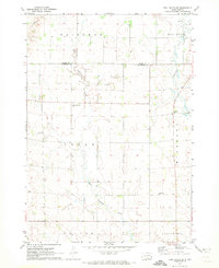
 1985 Sioux Falls1985 Print · USGSIn the mid-1980s, the borderlands of South Dakota, Minnesota, and Iowa reveal a landscape shaped by the Big Sioux River and a growing urban hub. Researchers can trace the development of Sioux Falls and locate smaller communities like Dell Rapids, Garretson, and Valley Springs.2 unique versions available
 - 2010 Map of Jasper NW, 2010 Print
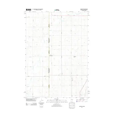
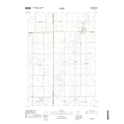
 2010 Jasper NW2010 Print · USGSCovers Alliance Township, including Ihlen, Lone Rock Township, and other nearby areas
 - 2010 Map of Jasper, 2010 Print
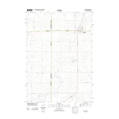
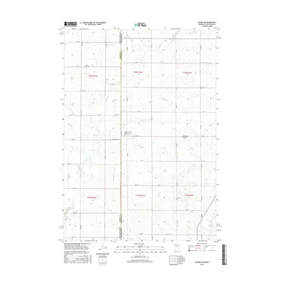
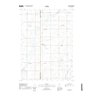
 2010 Jasper2010 Print · USGSCovers Alliance Township, including Jasper, Sherman, and other nearby areas
 - 2012 Map of Dell Rapids SE, 2012 Print
 2012 Dell Rapids SE2012 Print · USGSCovers Alliance Township, including Highland Township, Palisade Township, and other nearby areas
 - 2012 Map of Dell Rapids NE, 2012 Print
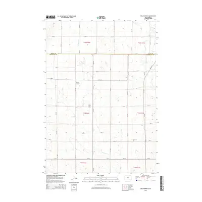
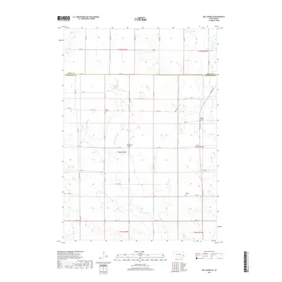
 2012 Dell Rapids NE2012 Print · USGSCovers Alliance Township, including Grovena Township, Blinsmon Township, and other nearby areas
 - 2013 Map of Jasper NW, 2013 Print
 2013 Jasper NW2013 Print · USGSCovers Alliance Township, including Ihlen, Lone Rock Township, and other nearby areas
 - 2013 Map of Jasper, 2013 Print
 2013 Jasper2013 Print · USGSCovers Alliance Township, including Jasper, Sherman, and other nearby areas
 - 2015 Map of Dell Rapids SE, 2015 Print
 2015 Dell Rapids SE2015 Print · USGSCovers Alliance Township, including Highland Township, Palisade Township, and other nearby areas
 - 2015 Map of Dell Rapids NE, 2015 Print
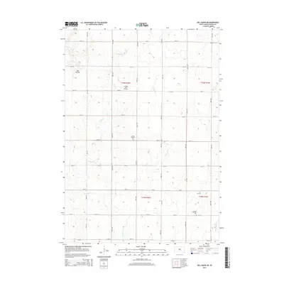 2015 Dell Rapids NE2015 Print · USGSCovers Alliance Township, including Grovena Township, Blinsmon Township, and other nearby areas
 - 2016 Map of Jasper NW, 2016 Print
 2016 Jasper NW2016 Print · USGSCovers Alliance Township, including Ihlen, Lone Rock Township, and other nearby areas
 - 2016 Map of Jasper, 2016 Print
 2016 Jasper2016 Print · USGSCovers Alliance Township, including Jasper, Sherman, and other nearby areas
 - 2017 Map of Dell Rapids SE, 2017 Print
 2017 Dell Rapids SE2017 Print · USGSCovers Alliance Township, including Highland Township, Palisade Township, and other nearby areas
 - 2017 Map of Dell Rapids NE, 2017 Print
 2017 Dell Rapids NE2017 Print · USGSCovers Alliance Township, including Grovena Township, Blinsmon Township, and other nearby areas
 - 2019 Map of Jasper NW, 2019 Print
 2019 Jasper NW2019 Print · USGSCovers Alliance Township, including Ihlen, Lone Rock Township, and other nearby areas
 - 2019 Map of Jasper, 2019 Print
 2019 Jasper2019 Print · USGSCovers Alliance Township, including Jasper, Sherman, and other nearby areas
 - 2021 Map of Dell Rapids SE, 2021 Print
 2021 Dell Rapids SE2021 Print · USGSMinnehaha County at the start of the 2020s shows a landscape of glacial plateaus and structured farmland along the Minnesota border. Researchers can trace local heritage through the Logan Reformed Cem, the historic Coteau des Prairies terrain, and the winding path of W Pipestone Cr.
 - 2021 Map of Dell Rapids NE, 2021 Print
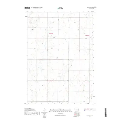
 2021 Dell Rapids NE2021 Print · USGSMoody County's high prairie landscape is captured here in the early 2020s, showing a well-organized grid of rural homesteads and agricultural tracts. Genealogists can locate several local burial sites including Swedish Augustana Cem, Oslo Cem, and Bethania Cem.
 - 2022 Map of Jasper NW, 2022 Print
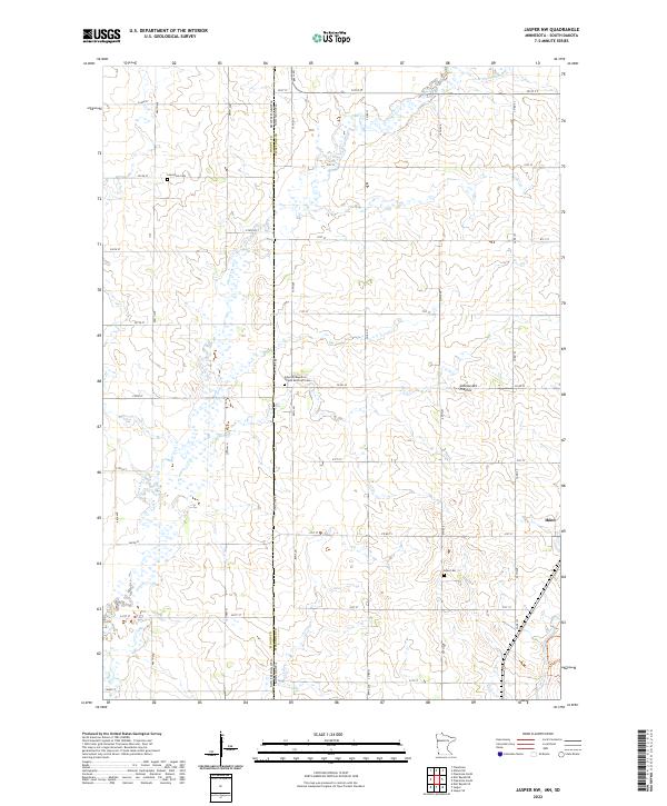 2022 Jasper NW2022 Print · USGSThe borderlands of Pipestone County and South Dakota are captured in this recent survey, showcasing a landscape of high prairie and established farmsteads. Researchers can trace family ties at Lone Rock Cem or explore the settlement at Ihlen and the Coteau des Prairies.
 - 2022 Map of Jasper, 2022 Print
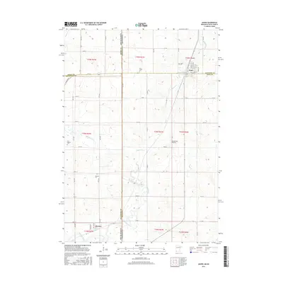
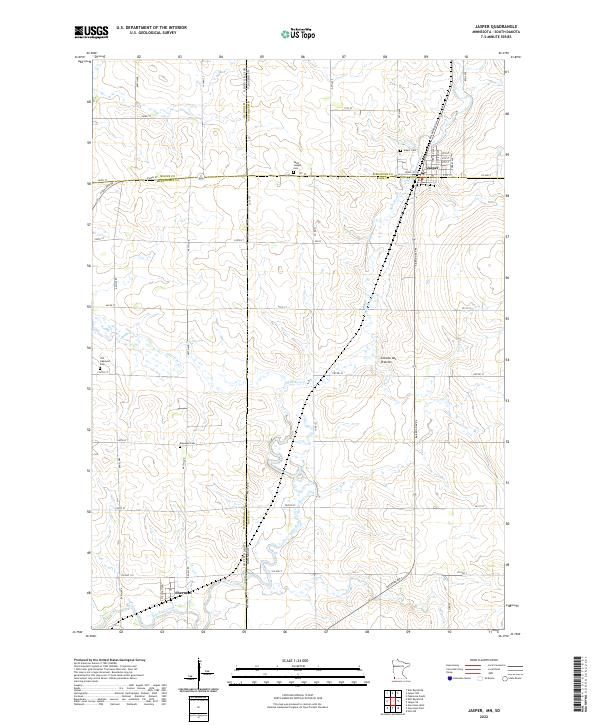 2022 Jasper2022 Print · USGSThe border between Minnesota and South Dakota comes alive on this survey of the northern prairie. Genealogists can locate family sites at Old Highland Cem or Rosendal Cem and trace the rail-aligned streets of Jasper and Sherman.
End of results
Showing maps 1-25 of 25
Top cities near Alliance Township
- Pipestone historical maps
- Dell Rapids historical maps
- Flandreau historical maps
- Garretson historical maps
- Jasper historical maps
- Egan historical maps
See more
Frequently asked questions
- What are the different types of historical maps available for Alliance Township?
- What is the oldest map of Alliance Township?
- Where can I purchase historical maps of Alliance Township for my home or office?
- Where can I download high-res historical maps of Alliance Township?
- Are there historical topographic maps available for Alliance Township?
- Is there historical aerial imagery available for Alliance Township?
- Where are historical maps of Alliance Township sourced from?