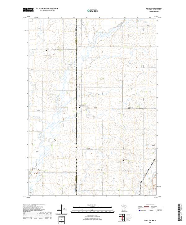
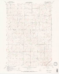
2022 Map of Jasper NW
USGS Topo · Published 2022About this map
Coteau des Prairies defines the physical character of this landscape along the border of Minnesota and South Dakota, where a dense grid of rural section lines and township roads organizes the terrain. The small settlement of Ihlen sits in the southeastern corner, serving as a focal point for the surrounding agricultural community.
Find a feature on this map
47 named features on this map. Tap any name to fly to it.
Don’t see what you’re looking for? This feature index may not catch every label — zoom into the map to look around manually.
Map Details
Editions of this 2022 Jasper NW Map
This is the sole edition of this map. No revisions or reprints were ever made.
Historical Maps of Alliance Township Through Time
14 maps found
1967 Edgerton North
Pipestone County, MN
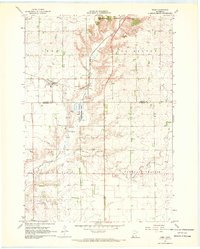
1967 Elkton SW
Pipestone County, MN
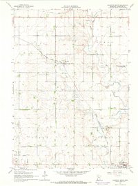
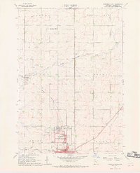
1967 Jasper NW
Pipestone County, MN
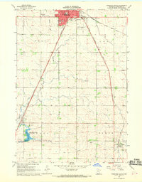
1967 Pipestone North
Pipestone County, MN
1967 Pipestone South
Pipestone County, MN
1967 Ruthton NW
Pipestone County, MN
1967 Verdi
Pipestone County, MN
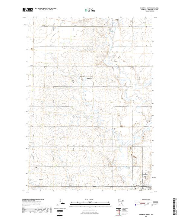
2022 Edgerton North
Pipestone County, MN
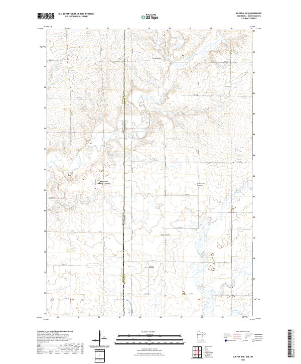
2022 Elkton SW
Pipestone County, MN
2022 Jasper NW
Pipestone County, MN
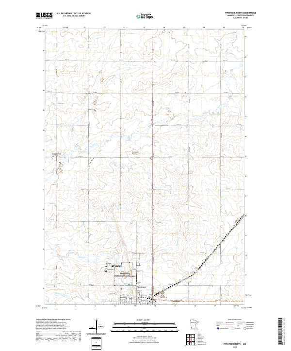
2022 Pipestone North
Pipestone County, MN
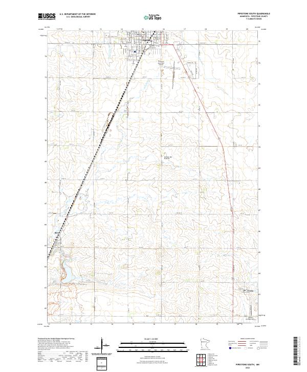
2022 Pipestone South
Pipestone County, MN
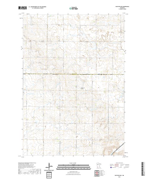
2022 Ruthton NW
Pipestone County, MN
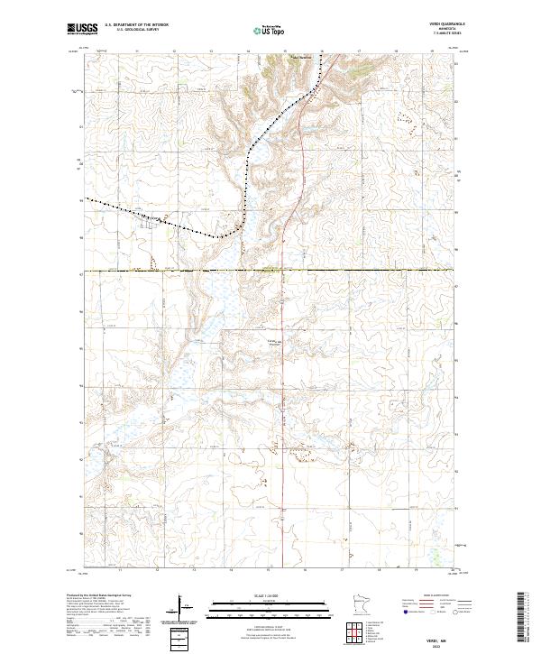
2022 Verdi
Pipestone County, MN