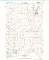
1967 Map of Jasper
USGS Topo · Published 1968About this map
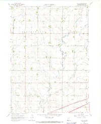
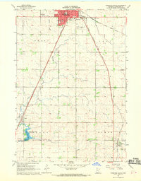
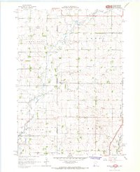
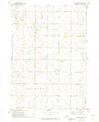
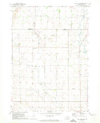
Jasper sits at the nexus of the Minnesota and South Dakota border, a landscape defined by the winding course of Split Rock Creek and the industrial activity of the late 1960s. The village is anchored by the Great Northern railroad line, which facilitated the local extractive economy evidenced by a nearby Quarry and Gravel Pit. The map captures a high degree of cadastral detail, with fine red dashed lines indicating fence and field divisions across the rural townships of Rosedale and Springwater. Genealogists will find particular value in the clearly marked Rosendal Cem and St Joseph Cem, alongside the small settlement of Sherman to the south. This survey illustrates the intricate boundary relationships between four counties—Moody, Pipestone, Minnehaha, and Rock—meeting near the confluence of Pipestone Creek and the primary waterways.
Find a feature on this map
24 named features on this map. Tap any name to fly to it.
Don’t see what you’re looking for? This feature index may not catch every label — zoom into the map to look around manually.
Map Details
Editions of this 1967 Jasper Map
This is the sole edition of this map. No revisions or reprints were ever made.
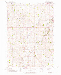
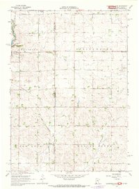
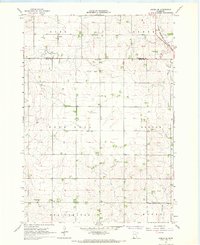
Other maps of this area

1955 · Sioux Falls
USGS Topo · 1:250,000

1958 · Sioux Falls
USGS Topo · 1:250,000
1962 · Garretson West
USGS Topo · 1:24,000
1967 · Garretson East
USGS Topo · 1:24,000
1967 · Jasper SE
USGS Topo · 1:24,000
1967 · Hills NE
USGS Topo · 1:24,000
1967 · Pipestone South
USGS Topo · 1:24,000
1967 · Jasper NW
USGS Topo · 1:24,000
1972 · Dell Rapids NE
USGS Topo · 1:24,000
1972 · Dell Rapids SE
USGS Topo · 1:24,000
Featured Places
- Jasper, MN
- Sherman, Palisade Township
- Springwater Township, MN
- Rose Dell Township, MN
- Alliance Township, SD