Old Maps of Lone Rock Township, South Dakota
Explore 28 old maps of Lone Rock Township, spanning from 1953 to today. These high-resolution historic maps reveal how streets, neighborhoods, landmarks, and natural features evolved over time — perfect for genealogy, metal detecting, research, and local history exploration.
What you can do with these maps:
- See how Lone Rock Township changed over time: Compare historical maps to modern-day views to trace roads, homesites, rail lines & more.
- View detailed metadata: Each map includes creators, publishers, year, scale, and archive source.
- Overlay maps with satellite & LiDAR: Visualize the past alongside modern tools to explore terrain & human change.
- Trusted historical sources: Maps sourced from the USGS, Library of Congress, and other archives.
- Access maps your way: View online, download high-res files, or order prints for personal or research use.
Start exploring old maps of Lone Rock Township to uncover forgotten places, hidden landmarks, and the deep history beneath your feet.
Lone Rock Township, SD maps
(28)- 1953 Map of Watertown, 1968 Print
 1953 Watertown1968 Print · USGSEastern South Dakota and the Minnesota borderlands are captured here during the mid-twentieth century as the region's agricultural and rail-service centers thrived. Genealogists and local historians can trace family-named sites across the Coteau des Prairies and find landmarks in Watertown, De Smet, and Brookings.3 unique versions available
 - 1955 Map of Sioux Falls, 1967 Print
 1955 Sioux Falls1967 Print · USGSThe eastern South Dakota and western Minnesota borderlands come alive in the mid-fifties, showing the vital rail-to-river connections of the era. Genealogists can trace family footprints across townships like Madison and Pipestone, while following the paths of the Big Sioux River and the Chicago and North Western line.3 unique versions available
 - 1958 Map of Sioux Falls
 1958 Sioux Falls1958 Print · USGSThe tri-state borderlands of South Dakota, Minnesota, and Iowa are captured here during the mid-century peak of the regional rail network. Genealogists and historians can trace local landmarks like Augustana Academy, the St Marys Cem, and the path of the Illinois Central through Rock Rapids.
 - 1958 Map of Watertown
 1958 Watertown1958 Print · USGSThe eastern South Dakota prairie and the Minnesota borderlands are captured here in the late fifties, showcasing a landscape of terminal moraine lakes and burgeoning rail hubs. Genealogists and historians can trace the early paths of the Chicago and North Western railroad or locate family roots in Watertown, Clark, or the Sisseton Indian Reservation.2 unique versions available
 - 1967 Map of Elkton SW, 1968 Print
 1967 Elkton SW1968 Print · USGSThe Minnesota and South Dakota borderlands come alive in this mid-sixties survey of Pipestone and Moody Counties. Researchers can trace the path of the Milwaukee Road through Airlie or locate the rural Fletcher Sch.2 unique versions available
 - 1967 Map of Jasper NW, 1968 Print
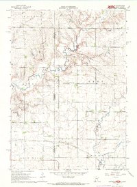
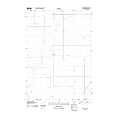
 1967 Jasper NW1968 Print · USGSThe borderlands of Minnesota and South Dakota are captured here in the late sixties, showing a landscape of family farms and rural townships. Researchers can trace local history at Lone Rock Ch, Eden Cem, and the old Townhall near Pipestone Creek.2 unique versions available
 - 1972 Map of Dell Rapids NE, 1973 Print
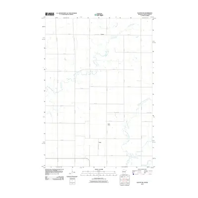
 1972 Dell Rapids NE1973 Print · USGSMoody County in the early seventies reveals a landscape of deep-rooted prairie settlements and family-run townships. Genealogists and local historians can trace legacy sites like the Swedish Augustana Cem, Oslo Cem, and Trinity Ch along the waters of Brookfield Creek.
 - 1972 Map of Flandreau, 1973 Print
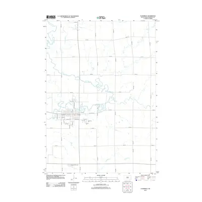
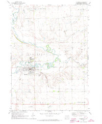 1972 Flandreau1973 Print · USGSMoody County in the early seventies centers on the meanders of the Big Sioux River and the bustling rail hub at Flandreau. Family historians can locate specific sites like the Flandreau Indian Sch, Catholic Cem, and the old Chicago Milwaukee St Paul and Pacific rail line.
 - 1985 Map of Sioux Falls
 1985 Sioux Falls1985 Print · USGSIn the mid-1980s, the borderlands of South Dakota, Minnesota, and Iowa reveal a landscape shaped by the Big Sioux River and a growing urban hub. Researchers can trace the development of Sioux Falls and locate smaller communities like Dell Rapids, Garretson, and Valley Springs.2 unique versions available
 - 1985 Map of Brookings
 1985 Brookings1985 Print · USGSThe South Dakota and Minnesota borderlands in the mid-1980s are defined here by a network of prairie lakes and bustling rail corridors. Researchers can trace the path of the Chicago and North Western through Brookings or explore the numerous wetlands of Oakwood Lakes State Park.2 unique versions available
 - 2010 Map of Jasper NW, 2010 Print
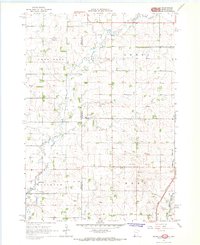
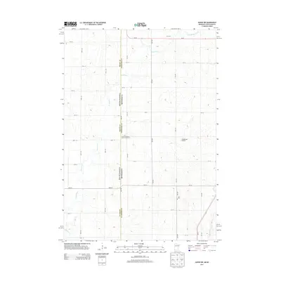
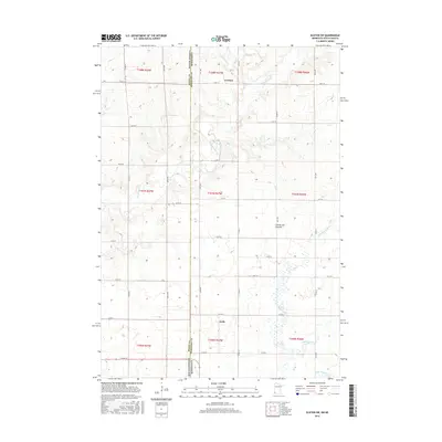
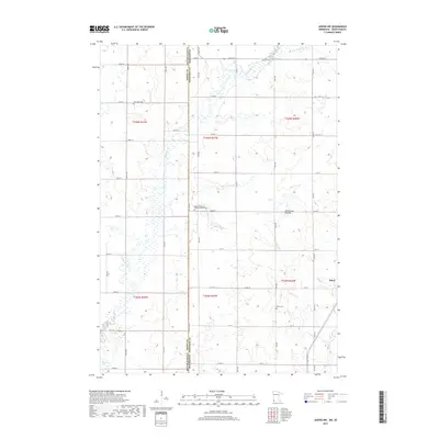
 2010 Jasper NW2010 Print · USGSCovers Lone Rock Township, including Ihlen, Alliance Township, and other nearby areas
 - 2010 Map of Elkton SW, 2010 Print
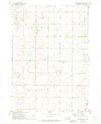
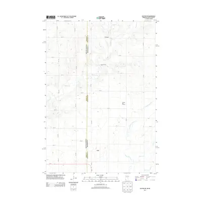
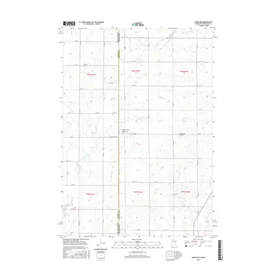
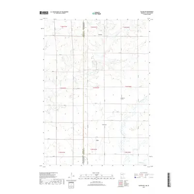
 2010 Elkton SW2010 Print · USGSCovers Lone Rock Township, including Airlie, Cresson, and other nearby areas
 - 2012 Map of Flandreau, 2012 Print
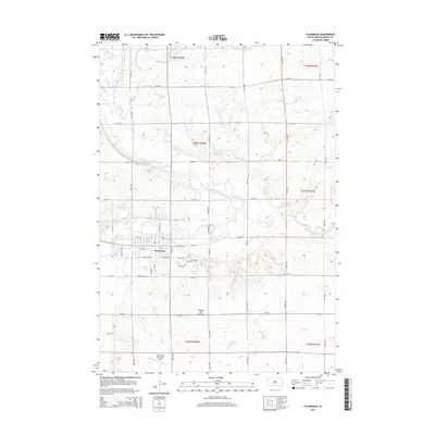
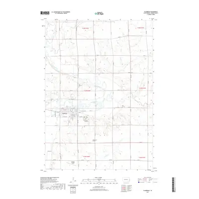
 2012 Flandreau2012 Print · USGSCovers Lone Rock Township, including Flandreau, Union Township, and other nearby areas
 - 2012 Map of Dell Rapids NE, 2012 Print
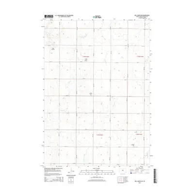
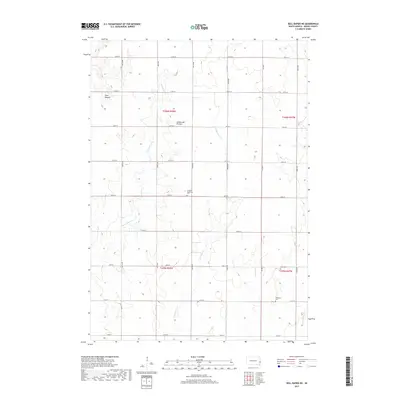
 2012 Dell Rapids NE2012 Print · USGSCovers Lone Rock Township, including Grovena Township, Blinsmon Township, and other nearby areas
 - 2013 Map of Jasper NW, 2013 Print
 2013 Jasper NW2013 Print · USGSCovers Lone Rock Township, including Ihlen, Alliance Township, and other nearby areas
 - 2013 Map of Elkton SW, 2013 Print
 2013 Elkton SW2013 Print · USGSCovers Lone Rock Township, including Airlie, Cresson, and other nearby areas
 - 2015 Map of Flandreau, 2015 Print
 2015 Flandreau2015 Print · USGSCovers Lone Rock Township, including Flandreau, Union Township, and other nearby areas
 - 2015 Map of Dell Rapids NE, 2015 Print
 2015 Dell Rapids NE2015 Print · USGSCovers Lone Rock Township, including Grovena Township, Blinsmon Township, and other nearby areas
 - 2016 Map of Jasper NW, 2016 Print
 2016 Jasper NW2016 Print · USGSCovers Lone Rock Township, including Ihlen, Alliance Township, and other nearby areas
 - 2016 Map of Elkton SW, 2016 Print
 2016 Elkton SW2016 Print · USGSCovers Lone Rock Township, including Airlie, Cresson, and other nearby areas
 - 2017 Map of Dell Rapids NE, 2017 Print
 2017 Dell Rapids NE2017 Print · USGSCovers Lone Rock Township, including Grovena Township, Blinsmon Township, and other nearby areas
 - 2017 Map of Flandreau, 2017 Print
 2017 Flandreau2017 Print · USGSCovers Lone Rock Township, including Flandreau, Union Township, and other nearby areas
 - 2019 Map of Jasper NW, 2019 Print
 2019 Jasper NW2019 Print · USGSCovers Lone Rock Township, including Ihlen, Alliance Township, and other nearby areas
 - 2019 Map of Elkton SW, 2019 Print
 2019 Elkton SW2019 Print · USGSCovers Lone Rock Township, including Airlie, Cresson, and other nearby areas
 - 2021 Map of Dell Rapids NE, 2021 Print
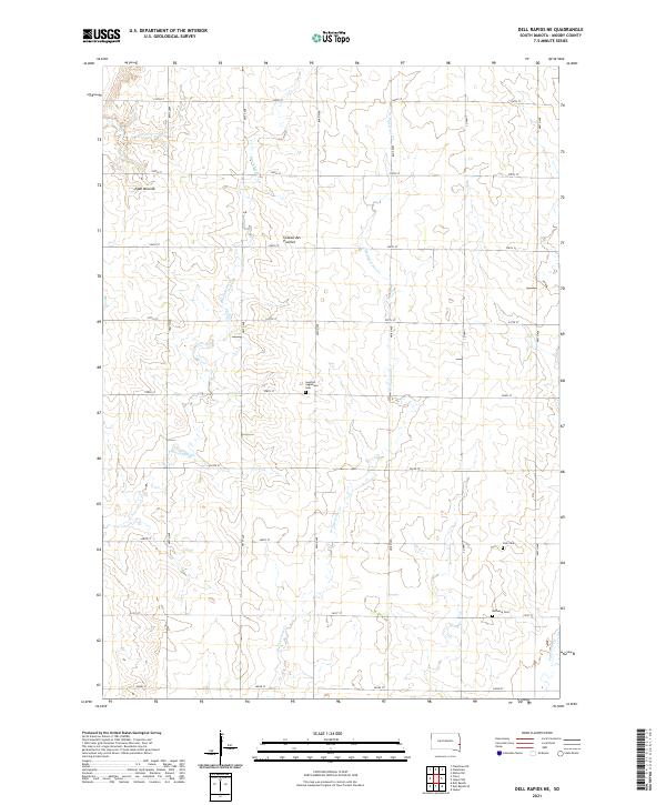 2021 Dell Rapids NE2021 Print · USGSMoody County's high prairie landscape is captured here in the early 2020s, showing a well-organized grid of rural homesteads and agricultural tracts. Genealogists can locate several local burial sites including Swedish Augustana Cem, Oslo Cem, and Bethania Cem.
Showing maps 1-25 of 28
Top cities near Lone Rock Township
- Pipestone historical maps
- Dell Rapids historical maps
- Flandreau historical maps
- Jasper historical maps
- Egan historical maps
- Trent historical maps
See more
Frequently asked questions
- What are the different types of historical maps available for Lone Rock Township?
- What is the oldest map of Lone Rock Township?
- Where can I purchase historical maps of Lone Rock Township for my home or office?
- Where can I download high-res historical maps of Lone Rock Township?
- Are there historical topographic maps available for Lone Rock Township?
- Is there historical aerial imagery available for Lone Rock Township?
- Where are historical maps of Lone Rock Township sourced from?