2000s (21st Century) Maps of Lone Rock Township, South Dakota
Explore 18 historic maps of Lone Rock Township from the 2000s (21st Century). These maps offer a rare glimpse into what life looked like during the 2000s — showing old roads, neighborhoods, homes, and landmarks that have changed or disappeared over time.
Whether you're researching your family's past, planning a metal detecting trip, or studying how Lone Rock Township's landscape evolved across the 2000s, these high-resolution maps are a powerful tool for exploring the history of this region.
- Focus on a specific era: All maps on this page are from the 2000s, giving you a focused view of this time period.
- See what’s changed: Compare century-old streets, trails, and buildings to today's modern landscape using overlays and satellite layers.
- Research with precision: Use these maps for genealogy, historical research, land use analysis, or educational projects.
- View, download, or print: Maps are fully viewable online in high resolution, and can be downloaded or printed for your own records.
Start exploring Lone Rock Township's history through authentic maps from the 2000s. This is your window into the past.
Lone Rock Township, SD maps
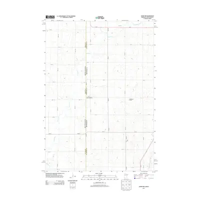
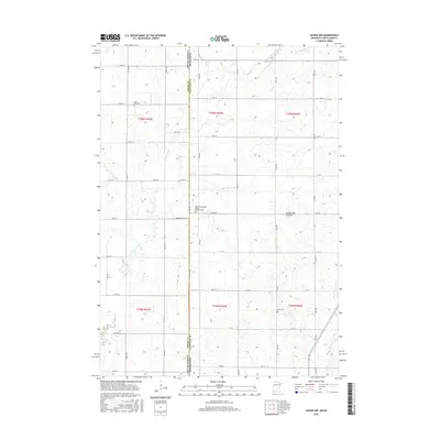
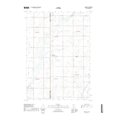
(18)- 2010 Map of Jasper NW, 2010 Print
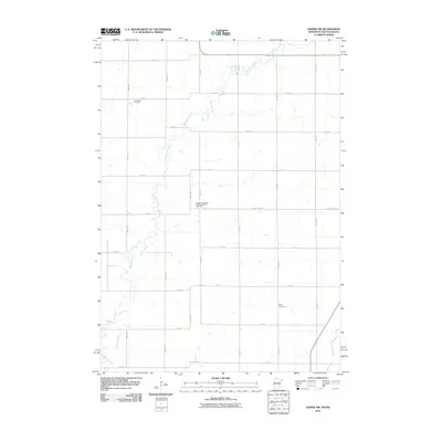 2010 Jasper NW2010 Print · USGSCovers Lone Rock Township, including Ihlen, Alliance Township, and other nearby areas
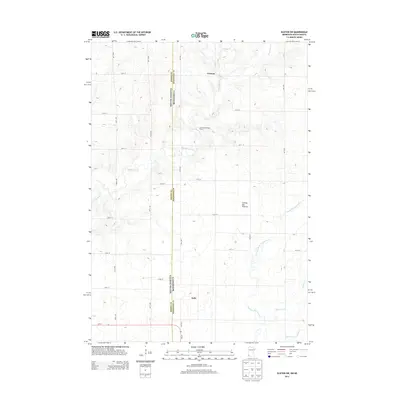
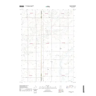
 - 2010 Map of Elkton SW, 2010 Print
 2010 Elkton SW2010 Print · USGSCovers Lone Rock Township, including Airlie, Cresson, and other nearby areas
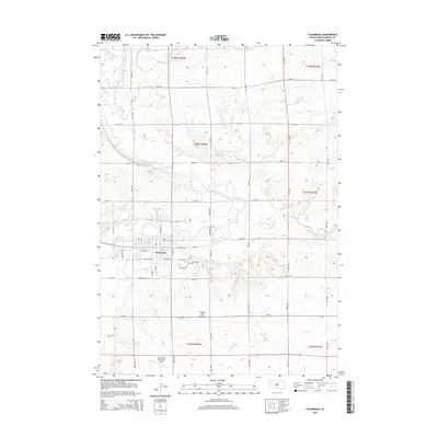
 - 2012 Map of Flandreau, 2012 Print
 2012 Flandreau2012 Print · USGSCovers Lone Rock Township, including Flandreau, Union Township, and other nearby areas
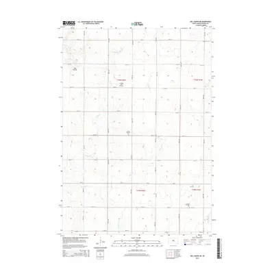
 - 2012 Map of Dell Rapids NE, 2012 Print
 2012 Dell Rapids NE2012 Print · USGSCovers Lone Rock Township, including Grovena Township, Blinsmon Township, and other nearby areas
 - 2013 Map of Jasper NW, 2013 Print
 2013 Jasper NW2013 Print · USGSCovers Lone Rock Township, including Ihlen, Alliance Township, and other nearby areas
 - 2013 Map of Elkton SW, 2013 Print
 2013 Elkton SW2013 Print · USGSCovers Lone Rock Township, including Airlie, Cresson, and other nearby areas
 - 2015 Map of Flandreau, 2015 Print
 2015 Flandreau2015 Print · USGSCovers Lone Rock Township, including Flandreau, Union Township, and other nearby areas
 - 2015 Map of Dell Rapids NE, 2015 Print
 2015 Dell Rapids NE2015 Print · USGSCovers Lone Rock Township, including Grovena Township, Blinsmon Township, and other nearby areas
 - 2016 Map of Jasper NW, 2016 Print
 2016 Jasper NW2016 Print · USGSCovers Lone Rock Township, including Ihlen, Alliance Township, and other nearby areas
 - 2016 Map of Elkton SW, 2016 Print
 2016 Elkton SW2016 Print · USGSCovers Lone Rock Township, including Airlie, Cresson, and other nearby areas
 - 2017 Map of Dell Rapids NE, 2017 Print
 2017 Dell Rapids NE2017 Print · USGSCovers Lone Rock Township, including Grovena Township, Blinsmon Township, and other nearby areas
 - 2017 Map of Flandreau, 2017 Print
 2017 Flandreau2017 Print · USGSCovers Lone Rock Township, including Flandreau, Union Township, and other nearby areas
 - 2019 Map of Jasper NW, 2019 Print
 2019 Jasper NW2019 Print · USGSCovers Lone Rock Township, including Ihlen, Alliance Township, and other nearby areas
 - 2019 Map of Elkton SW, 2019 Print
 2019 Elkton SW2019 Print · USGSCovers Lone Rock Township, including Airlie, Cresson, and other nearby areas
 - 2021 Map of Dell Rapids NE, 2021 Print
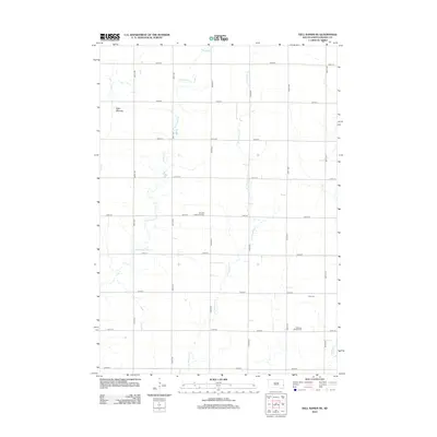
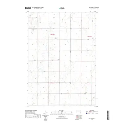
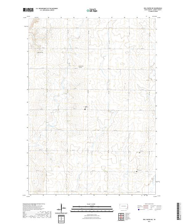 2021 Dell Rapids NE2021 Print · USGSMoody County's high prairie landscape is captured here in the early 2020s, showing a well-organized grid of rural homesteads and agricultural tracts. Genealogists can locate several local burial sites including Swedish Augustana Cem, Oslo Cem, and Bethania Cem.
 - 2021 Map of Flandreau, 2021 Print
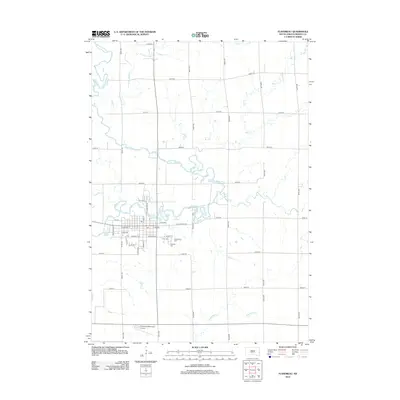
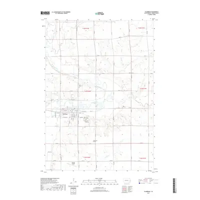
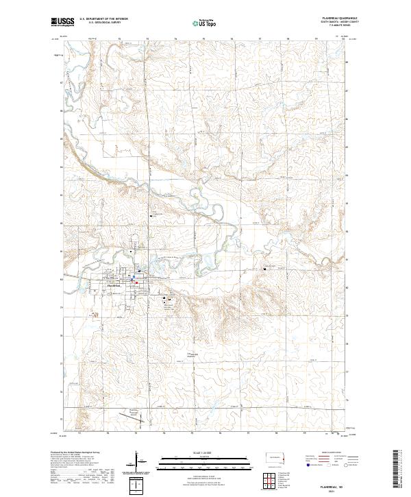 2021 Flandreau2021 Print · USGSFlandreau and the Big Sioux River valley are shown in detail during the early 2020s. Researchers can locate numerous family burial sites such as Union Cem and Clay Hill Cem, or trace the path of the Jay Heath Canoe & Kayak Trl.
 - 2022 Map of Jasper NW, 2022 Print
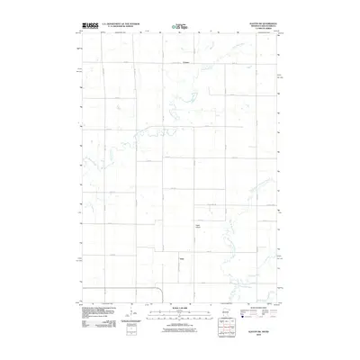
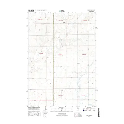
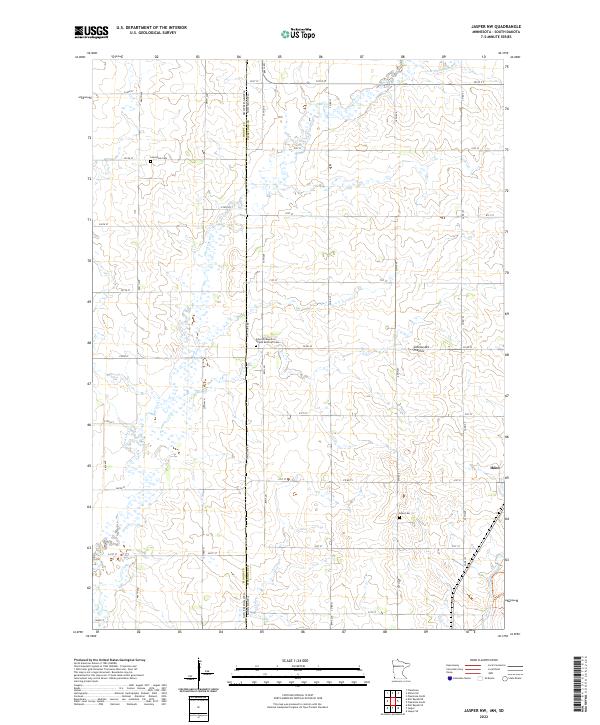 2022 Jasper NW2022 Print · USGSThe borderlands of Pipestone County and South Dakota are captured in this recent survey, showcasing a landscape of high prairie and established farmsteads. Researchers can trace family ties at Lone Rock Cem or explore the settlement at Ihlen and the Coteau des Prairies.
 - 2022 Map of Elkton SW, 2022 Print
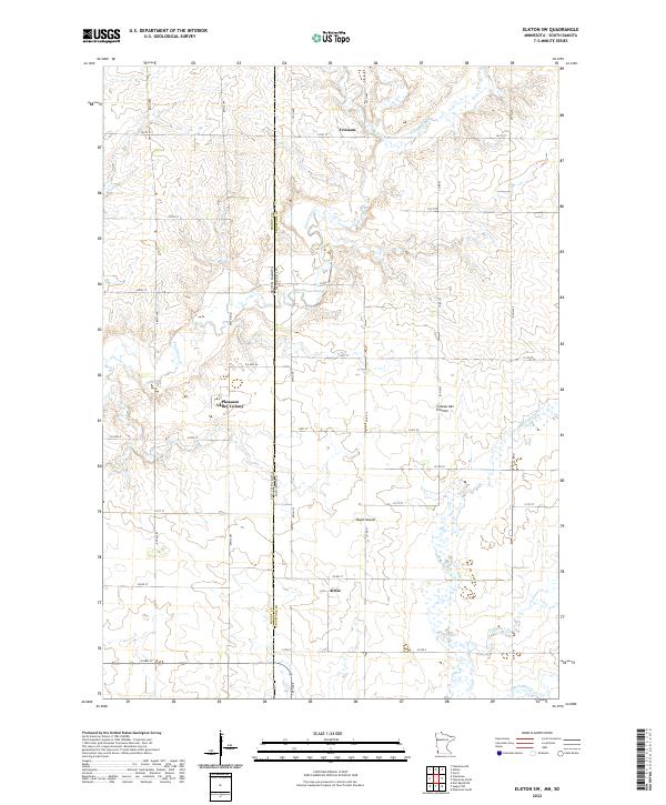 2022 Elkton SW2022 Print · USGSThe Minnesota and South Dakota border comes into focus in this recent survey of the Pipestone County farm country. Researchers can trace the rural layouts of Pleasant Valley Colony, Cresson, and Airlie along the high ground of the Coteau des Prairies.
End of results
Showing maps 1-18 of 18
Top cities near Lone Rock Township
- Pipestone historical maps
- Dell Rapids historical maps
- Flandreau historical maps
- Jasper historical maps
- Egan historical maps
- Trent historical maps
See more
Frequently asked questions
- What are the different types of historical maps available for Lone Rock Township?
- What is the oldest map of Lone Rock Township?
- Where can I purchase historical maps of Lone Rock Township for my home or office?
- Where can I download high-res historical maps of Lone Rock Township?
- Are there historical topographic maps available for Lone Rock Township?
- Is there historical aerial imagery available for Lone Rock Township?
- Where are historical maps of Lone Rock Township sourced from?