Old Maps of Fremont Township, South Dakota
Explore 23 old maps of Fremont Township, spanning from 1953 to today. These high-resolution historic maps reveal how streets, neighborhoods, landmarks, and natural features evolved over time — perfect for genealogy, metal detecting, research, and local history exploration.
What you can do with these maps:
- See how Fremont Township changed over time: Compare historical maps to modern-day views to trace roads, homesites, rail lines & more.
- View detailed metadata: Each map includes creators, publishers, year, scale, and archive source.
- Overlay maps with satellite & LiDAR: Visualize the past alongside modern tools to explore terrain & human change.
- Trusted historical sources: Maps sourced from the USGS, Library of Congress, and other archives.
- Access maps your way: View online, download high-res files, or order prints for personal or research use.
Start exploring old maps of Fremont Township to uncover forgotten places, hidden landmarks, and the deep history beneath your feet.
Fremont Township, SD maps
(23)- 1953 Map of Watertown, 1968 Print
 1953 Watertown1968 Print · USGSEastern South Dakota and the Minnesota borderlands are captured here during the mid-twentieth century as the region's agricultural and rail-service centers thrived. Genealogists and local historians can trace family-named sites across the Coteau des Prairies and find landmarks in Watertown, De Smet, and Brookings.3 unique versions available
 - 1958 Map of Watertown
 1958 Watertown1958 Print · USGSThe eastern South Dakota prairie and the Minnesota borderlands are captured here in the late fifties, showcasing a landscape of terminal moraine lakes and burgeoning rail hubs. Genealogists and historians can trace the early paths of the Chicago and North Western railroad or locate family roots in Watertown, Clark, or the Sisseton Indian Reservation.2 unique versions available
 - 1964 Map of Medary, 1965 Print
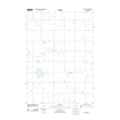
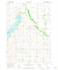 1964 Medary1965 Print · USGSThe Brookings and Moody County borderlands are seen here in the mid-1960s, centered on the river-cut prairies of eastern South Dakota. Genealogists and researchers can locate several rural schools and landmarks like Lake Campbell Cem, Galla Sch, and the historic settlement of Medary.4 unique versions available
 - 1964 Map of Rutland SE, 1965 Print
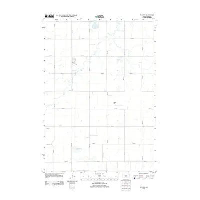
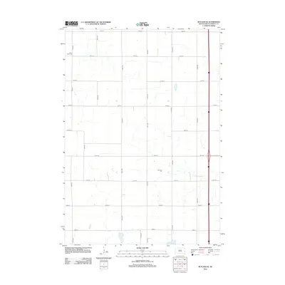
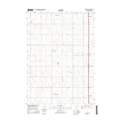
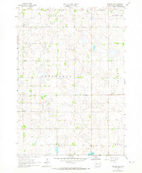 1964 Rutland SE1965 Print · USGSPrairie townships in Moody County are shown in detail during the 1960s, capturing a rural landscape of family farms and section roads. Researchers can locate community landmarks like Whaley Sch, Mt Auburn Cem, and the Wellman Ch.2 unique versions available
 - 1968 Map of Rutland, 1971 Print
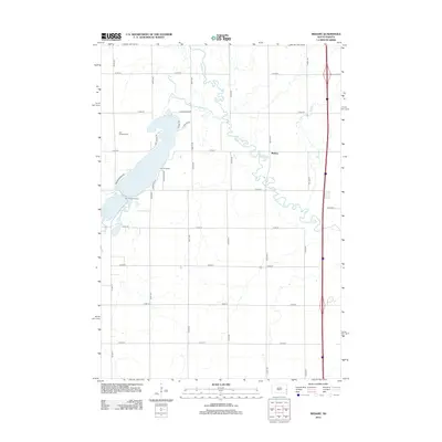
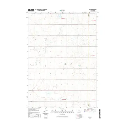
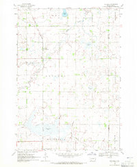 1968 Rutland1971 Print · USGSThe prairie townships of Lake County were dominated by the rail-and-water landscape of the late sixties. Researchers can trace the Great Northern line through Rutland, locate the Lake Park Cem, and map the shores of Milwaukee Lake.
 - 1968 Map of Rutland NW, 1971 Print
 1968 Rutland NW1971 Print · USGSEastern South Dakota’s agricultural and wetland landscape is captured here in the late sixties, where the border of Lake and Brookings Counties meets. Genealogists can locate family landmarks such as Oslo Ch, Prairie Queen Cem, and the Townhall.2 unique versions available
 - 1985 Map of Brookings
 1985 Brookings1985 Print · USGSThe South Dakota and Minnesota borderlands in the mid-1980s are defined here by a network of prairie lakes and bustling rail corridors. Researchers can trace the path of the Chicago and North Western through Brookings or explore the numerous wetlands of Oakwood Lakes State Park.2 unique versions available
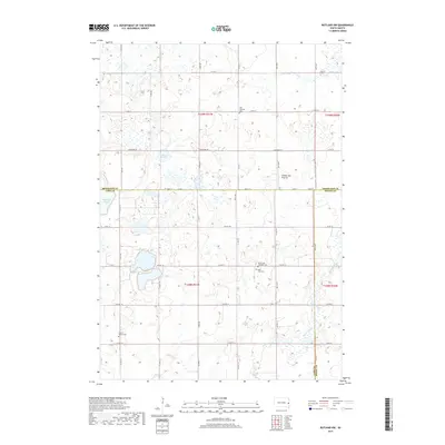
 - 2012 Map of Rutland, 2012 Print
 2012 Rutland2012 Print · USGSCovers Fremont Township, including Rutland, Wentworth, and other nearby areas
 - 2012 Map of Rutland NW, 2012 Print
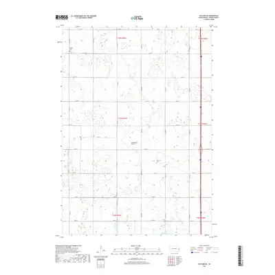
 2012 Rutland NW2012 Print · USGSCovers Fremont Township, including Camridge Hutterite Colony, Oslo Township, and other nearby areas
 - 2012 Map of Rutland SE, 2012 Print
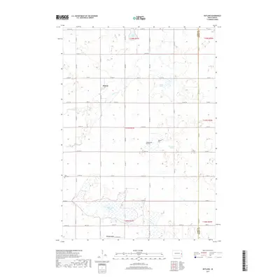
 2012 Rutland SE2012 Print · USGSCovers Fremont Township, including Clare Township, Colman Township, and other nearby areas
 - 2012 Map of Medary, 2012 Print
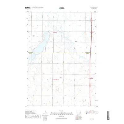
 2012 Medary2012 Print · USGSCovers Fremont Township, including Medary, Medary Township, and other nearby areas
 - 2015 Map of Rutland, 2015 Print
 2015 Rutland2015 Print · USGSCovers Fremont Township, including Rutland, Wentworth, and other nearby areas
 - 2015 Map of Medary, 2015 Print
 2015 Medary2015 Print · USGSCovers Fremont Township, including Medary, Medary Township, and other nearby areas
 - 2015 Map of Rutland NW, 2015 Print
 2015 Rutland NW2015 Print · USGSCovers Fremont Township, including Camridge Hutterite Colony, Oslo Township, and other nearby areas
 - 2015 Map of Rutland SE, 2015 Print
 2015 Rutland SE2015 Print · USGSCovers Fremont Township, including Clare Township, Colman Township, and other nearby areas
 - 2017 Map of Rutland NW, 2017 Print
 2017 Rutland NW2017 Print · USGSCovers Fremont Township, including Camridge Hutterite Colony, Oslo Township, and other nearby areas
 - 2017 Map of Rutland SE, 2017 Print
 2017 Rutland SE2017 Print · USGSCovers Fremont Township, including Clare Township, Colman Township, and other nearby areas
 - 2017 Map of Rutland, 2017 Print
 2017 Rutland2017 Print · USGSCovers Fremont Township, including Rutland, Wentworth, and other nearby areas
 - 2017 Map of Medary, 2017 Print
 2017 Medary2017 Print · USGSCovers Fremont Township, including Medary, Medary Township, and other nearby areas
 - 2021 Map of Rutland NW, 2021 Print
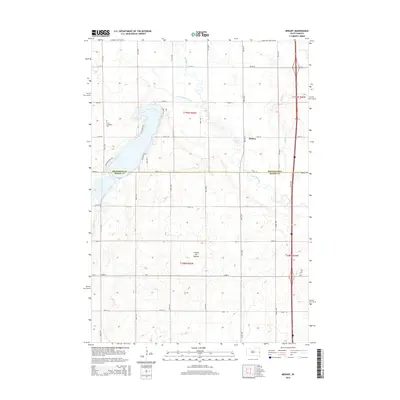
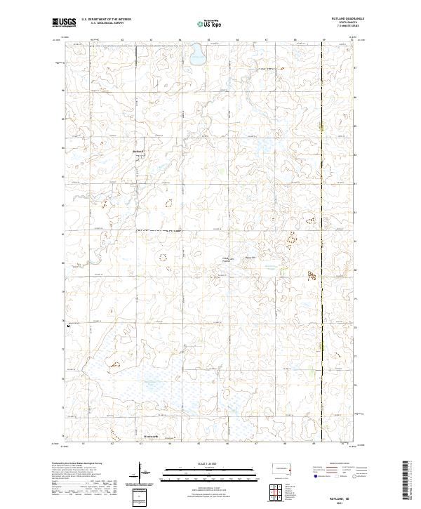
 2021 Rutland NW2021 Print · USGSThis part of eastern South Dakota, where Lake, Brookings, and Moody counties meet, is defined by the high glacial terrain of the Coteau des Prairies. Researchers can trace rural heritage through sites like Oslo Lutheran Cem and the waters of Battle Creek.
 - 2021 Map of Medary, 2021 Print
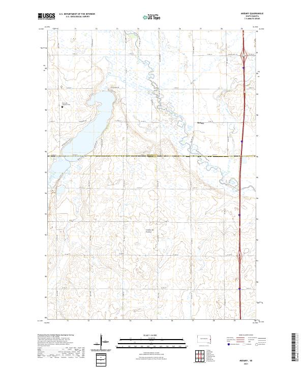 2021 Medary2021 Print · USGSThe Brookings and Moody County line comes alive in this contemporary survey of the Coteau des Prairies highlands. Researchers can locate family sites near Medary, trace the Big Sioux River shoreline, or find the East Lake Campbell Cem.
 - 2021 Map of Rutland SE, 2021 Print
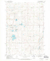
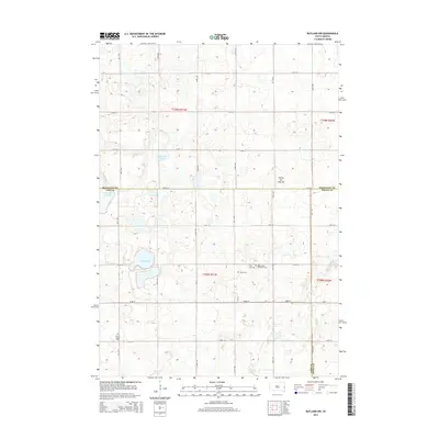
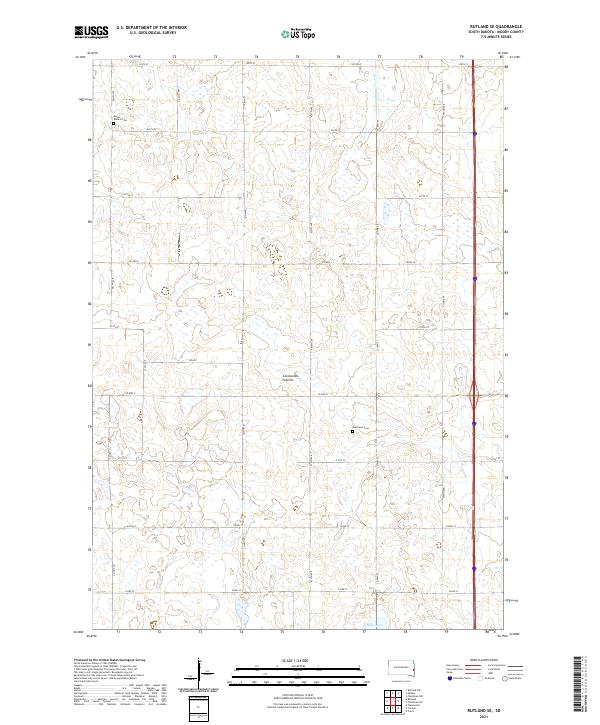 2021 Rutland SE2021 Print · USGSMoody County's agricultural heartland is documented here during the early twenty-first century, showcasing the characteristic wetlands of the Coteau des Prairies. Genealogists can locate family sites near Mount Auburn Cem, Martinson Cem, and the shores of Mud Lake.
 - 2021 Map of Rutland, 2021 Print
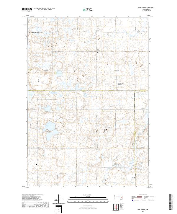
 2021 Rutland2021 Print · USGSLake County and the Moody County border are captured here in the early 2020s, showcasing the agricultural grid of the Coteau des Prairies. Researchers can trace local landmarks like Lake Park Cemetery or the shorelines of Milwaukee Lake and Green Lake.
End of results
Showing maps 1-23 of 23
Top cities near Fremont Township
- Brookings historical maps
- Flandreau historical maps
- Volga historical maps
- Medary historical maps
- Colman historical maps
- Aurora historical maps
See more
Frequently asked questions
- What are the different types of historical maps available for Fremont Township?
- What is the oldest map of Fremont Township?
- Where can I purchase historical maps of Fremont Township for my home or office?
- Where can I download high-res historical maps of Fremont Township?
- Are there historical topographic maps available for Fremont Township?
- Is there historical aerial imagery available for Fremont Township?
- Where are historical maps of Fremont Township sourced from?