Old Maps of Rosholt, Lake Traverse District for Academic Research
Study the evolution of Rosholt with 12 high-resolution historic maps. Whether you're teaching, researching, or modeling changes in land use, these maps provide essential visual documentation of urban, environmental, and geographic change.
- Analyze long-term change: Track patterns in development, transportation, and natural features.
- Ideal for environmental or urban studies: Support academic projects with primary historical map data.
- Use in the classroom or lab: Educators and researchers rely on these maps to bring historical context to life.
These maps are a powerful tool for teaching, research, and visualizing how Rosholt has changed over the decades.
Rosholt, Lake Traverse District maps
(12)- 1915 Map of White Rock, 1954 Print
 1915 White Rock1954 Print · USGSThe tri-state border region of the Dakotas and Minnesota comes alive in the early twentieth century as a hub of rail lines and prairie schools. Trace early settlements like White Rock and Rosholt or locate family landmarks such as Knutson School and Teare School.2 unique versions available
 - 1918 Map of White Rock
 1918 White Rock1918 Print · USGSThe tri-state borderlands of South Dakota, Minnesota, and North Dakota are frozen in time just before the end of the Great War. Researchers can trace the Sisseton and Wahpeton Indian Reservation boundary or locate early schools like Teare School and Knutson School.4 unique versions available
 - 1953 Map of Milbank, 1958 Print
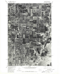
 1953 Milbank1958 Print · USGSThe tri-state border region of South Dakota, North Dakota, and Minnesota is shown here during the early fifties, a landscape defined by glacial lakes and the Sisseton Indian Reservation. Researchers can trace the legacy of the western railroads, locating old stops along the Great Northern and settlements like Milbank, Webster, and Sisseton.3 unique versions available
 - 1958 Map of Milbank
 1958 Milbank1958 Print · USGSThe northern Great Plains in the late fifties show a landscape of glacial lakes and reservation lands shaped by the Great Northern railroad. Genealogists and local historians can trace the grid of settlements from Britton to Milbank and locate landmarks like Enemy Swim Lake and the Sisseton Indian Reservation.
 - 1972 Map of Rosholt, 1974 Print
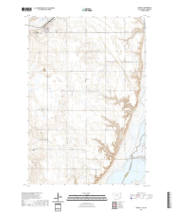
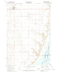 1972 Rosholt1974 Print · USGSPrairie life in Roberts County during the early seventies is defined by the rail lines and reservation lands surrounding the town of Rosholt. Researchers can trace local genealogy through sites like Hillside Cem and St Peter Cem or explore the water management history of Reservation Dam.
 - 1977 Map of Rosholt, 1979 Print
 1977 Rosholt1979 Print · USGSRoberts County and the borderlands of South Dakota and Minnesota are captured here in the late seventies. Researchers can trace the grid of rural farmsteads surrounding the town of Rosholt and examine the shoreline detail of Lake Traverse and Mud Lake.
 - 1985 Map of Wheaton
 1985 Wheaton1985 Print · USGSThe tri-state border region of Minnesota and the Dakotas is captured in the mid-1980s, defined by its prairie wetlands and rail-fed farming towns. Researchers can trace the Burlington Northern line through Wheaton and Graceville or locate family-named landmarks like Carlson Island.2 unique versions available
 - 2010 Map of Rosholt, 2010 Print
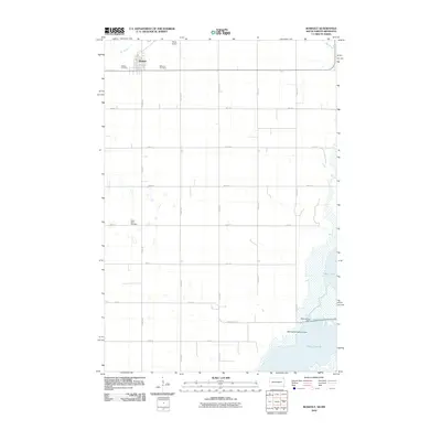 2010 Rosholt2010 Print · USGSCovers Rosholt, including Lake Traverse District, Traverse County, and other nearby areas
 - 2012 Map of Rosholt, 2012 Print
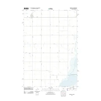 2012 Rosholt2012 Print · USGSCovers Rosholt, including Lake Traverse District, Traverse County, and other nearby areas
 - 2015 Map of Rosholt, 2015 Print
 2015 Rosholt2015 Print · USGSCovers Rosholt, including Lake Traverse District, Traverse County, and other nearby areas
 - 2017 Map of Rosholt, 2017 Print
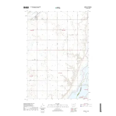 2017 Rosholt2017 Print · USGSCovers Rosholt, including Lake Traverse District, Traverse County, and other nearby areas
 - 2021 Map of Rosholt, 2021 Print
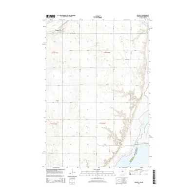
 2021 Rosholt2021 Print · USGSNortheastern Roberts County comes into focus in this recent survey of the prairie landscape near the Minnesota border. Genealogists and local historians can trace the positions of numerous rural landmarks, including Bethania Cem, Saint Joseph Cem, and the waters of Lake Traverse.
End of results
Showing maps 1-12 of 12
Top cities near Rosholt
- Wheaton historical maps
- Hankinson historical maps
- Fairmount historical maps
- New Effington historical maps
- Victor historical maps
- Old Agency District historical maps
See more
Frequently asked questions
- What are the different types of historical maps available for Rosholt?
- What is the oldest map of Rosholt?
- Where can I purchase historical maps of Rosholt for my home or office?
- Where can I download high-res historical maps of Rosholt?
- Are there historical topographic maps available for Rosholt?
- Is there historical aerial imagery available for Rosholt?
- Where are historical maps of Rosholt sourced from?