2000s (21st Century) Maps of Ravenna Township, South Dakota
Explore 16 historic maps of Ravenna Township from the 2000s (21st Century). These maps offer a rare glimpse into what life looked like during the 2000s — showing old roads, neighborhoods, homes, and landmarks that have changed or disappeared over time.
Whether you're researching your family's past, planning a metal detecting trip, or studying how Ravenna Township's landscape evolved across the 2000s, these high-resolution maps are a powerful tool for exploring the history of this region.
- Focus on a specific era: All maps on this page are from the 2000s, giving you a focused view of this time period.
- See what’s changed: Compare century-old streets, trails, and buildings to today's modern landscape using overlays and satellite layers.
- Research with precision: Use these maps for genealogy, historical research, land use analysis, or educational projects.
- View, download, or print: Maps are fully viewable online in high resolution, and can be downloaded or printed for your own records.
Start exploring Ravenna Township's history through authentic maps from the 2000s. This is your window into the past.
Ravenna Township, SD maps
(16)- 2012 Map of Farwell, 2012 Print
 2012 Farwell2012 Print · USGSCovers Ravenna Township, including Plano, Butler Township, and other nearby areas
 - 2012 Map of Farwell NW, 2012 Print
 2012 Farwell NW2012 Print · USGSCovers Ravenna Township, including Union Township, Butler Township, and other nearby areas
 - 2012 Map of Morris Lake, 2012 Print
 2012 Morris Lake2012 Print · USGSCovers Ravenna Township, including Diana Township, Clinton Township, and other nearby areas
 - 2012 Map of Ness Chain Lakes, 2012 Print
 2012 Ness Chain Lakes2012 Print · USGSCovers Ravenna Township, including Jasper Township, Beaver Township, and other nearby areas
 - 2015 Map of Farwell, 2015 Print
 2015 Farwell2015 Print · USGSCovers Ravenna Township, including Plano, Butler Township, and other nearby areas
 - 2015 Map of Farwell NW, 2015 Print
 2015 Farwell NW2015 Print · USGSCovers Ravenna Township, including Union Township, Butler Township, and other nearby areas
 - 2015 Map of Ness Chain Lakes, 2015 Print
 2015 Ness Chain Lakes2015 Print · USGSCovers Ravenna Township, including Jasper Township, Beaver Township, and other nearby areas
 - 2015 Map of Morris Lake, 2015 Print
 2015 Morris Lake2015 Print · USGSCovers Ravenna Township, including Diana Township, Clinton Township, and other nearby areas
 - 2017 Map of Ness Chain Lakes, 2017 Print
 2017 Ness Chain Lakes2017 Print · USGSCovers Ravenna Township, including Jasper Township, Beaver Township, and other nearby areas
 - 2017 Map of Morris Lake, 2017 Print
 2017 Morris Lake2017 Print · USGSCovers Ravenna Township, including Diana Township, Clinton Township, and other nearby areas
 - 2017 Map of Farwell NW, 2017 Print
 2017 Farwell NW2017 Print · USGSCovers Ravenna Township, including Union Township, Butler Township, and other nearby areas
 - 2017 Map of Farwell, 2017 Print
 2017 Farwell2017 Print · USGSCovers Ravenna Township, including Plano, Butler Township, and other nearby areas
 - 2021 Map of Morris Lake, 2021 Print
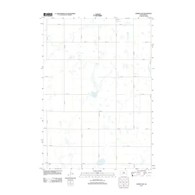
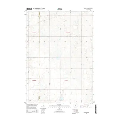
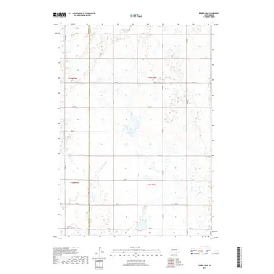
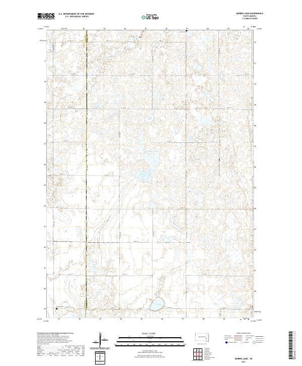 2021 Morris Lake2021 Print · USGSMiner and Sanborn counties are captured here in the early twenty-first century, showing a prairie landscape shaped by seasonal waters and section-line roads. Genealogists and local historians can locate Fedora Cem and Farwell Cem or trace the drainage of Jim Cr and Morris Lake.
 - 2021 Map of Farwell NW, 2021 Print
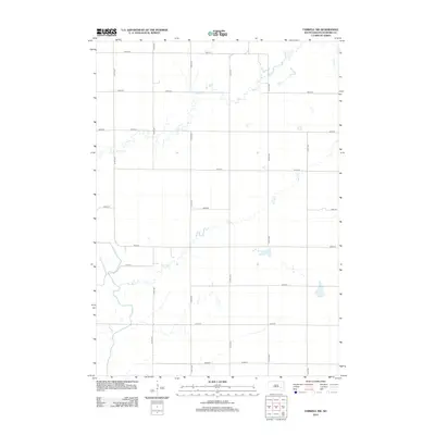
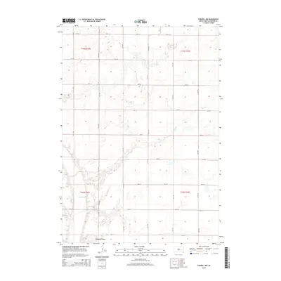
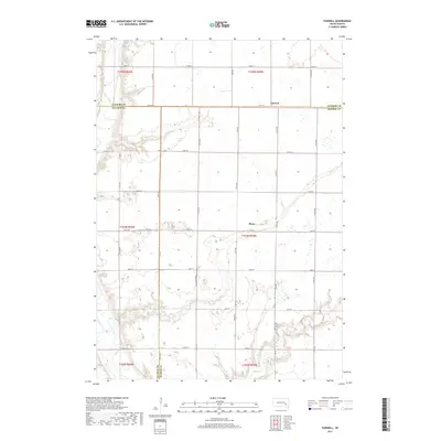
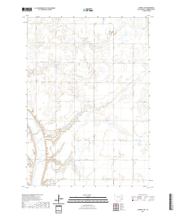 2021 Farwell NW2021 Print · USGSSanborn County at the start of the 2020s shows a deeply organized agricultural landscape shaped by the James River and Jim Cr. Researchers can trace the modern rural grid along Ruml Rd and Co Hwy 35 to identify specific land parcels and drainage patterns.
 - 2021 Map of Ness Chain Lakes, 2021 Print
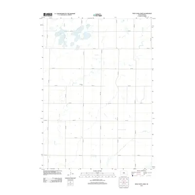
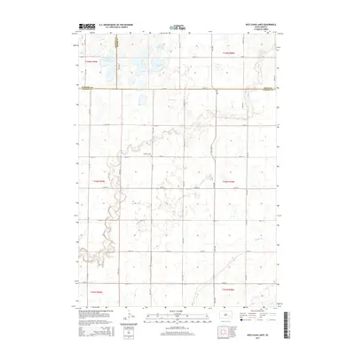
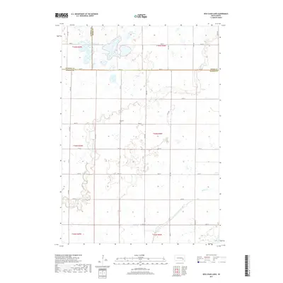
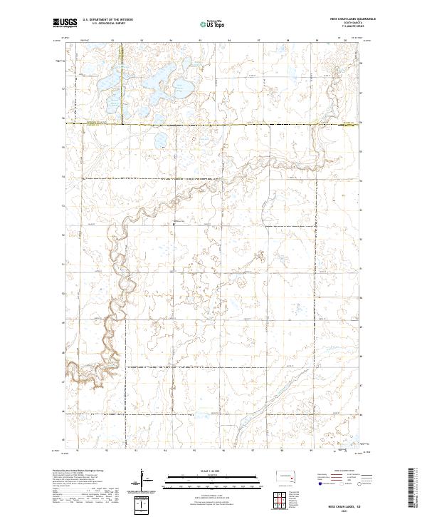 2021 Ness Chain Lakes2021 Print · USGSHanson and Sanborn counties are captured here in the early twenty-first century, showing a landscape defined by prairie potholes and glacial drainage. Genealogists and researchers can locate Redstone Cem and trace the complex shorelines of Ness Chain Lake and Stone House Lake.
 - 2021 Map of Farwell, 2021 Print
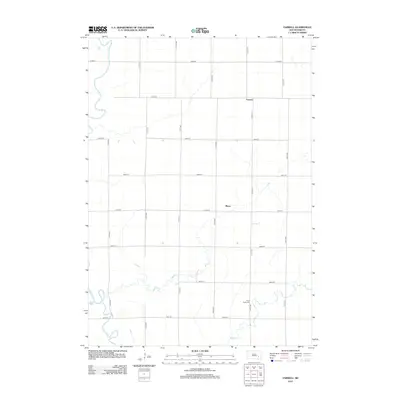
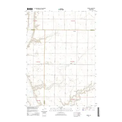
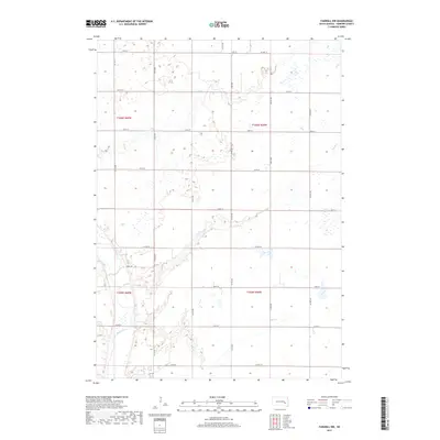
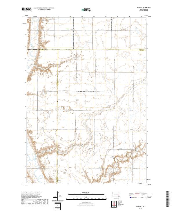 2021 Farwell2021 Print · USGSThis rural South Dakota landscape at the meeting of Sanborn, Davison, and Hanson Counties shows the agricultural heart of the region. Researchers can trace local history through the sites of Farwell, Plano, and the Rock Creek Cem along the James River.
End of results
Showing maps 1-16 of 16
Top cities near Ravenna Township
- Mitchell historical maps
- Letcher historical maps
- Artesian historical maps
- Plano historical maps
- Fulton historical maps
- Farmer historical maps
See more
Frequently asked questions
- What are the different types of historical maps available for Ravenna Township?
- What is the oldest map of Ravenna Township?
- Where can I purchase historical maps of Ravenna Township for my home or office?
- Where can I download high-res historical maps of Ravenna Township?
- Are there historical topographic maps available for Ravenna Township?
- Is there historical aerial imagery available for Ravenna Township?
- Where are historical maps of Ravenna Township sourced from?