Old Maps of Webb Ranch, South Dakota for Hiking & Exploration
Hike through history with 8 historic maps of Webb Ranch. Explore old trails, ghost towns, and forgotten backroads — perfect for outdoor adventurers and local explorers.
- Rediscover forgotten places: Map out old mining camps, roads, and footpaths that no longer exist on modern maps.
- Layer with modern tools: Combine with LiDAR or satellite views to plan hikes through historical terrain.
- Made for exploration: Popular among hikers, overlanders, and local history lovers.
Use these maps to find adventure and explore the hidden past of Webb Ranch.
Webb Ranch, SD maps
(8)- 1954 Map of Pierre, 1968 Print
 1954 Pierre1968 Print · USGSThe Missouri River and the newly formed Oahe Reservoir define central South Dakota in the 1950s. Genealogists and local historians can trace early settlements and rail stops like Eakin Siding, Mission Ridge, and Ottumwa.2 unique versions available
 - 1956 Map of Crockett Mountains, 1957 Print
 1956 Crockett Mountains1957 Print · USGSStanley County ranch lands are documented here in the mid-fifties, showing the intersection of tribal and county borders along the Cheyenne River. Family history researchers can locate the Rousseau Cem and Webb Ranch among landmarks like Lindsay Butte.2 unique versions available
 - 1958 Map of Pierre
 1958 Pierre1958 Print · USGSCentral South Dakota is documented during the mid-fifties, just as the Missouri River valley was being transformed by the massive Oahe Dam project. Researchers can trace the early Oahe Reservoir shoreline and find remote outposts like Milesville, Onida, and Giddings Flat.
 - 1986 Map of Onida
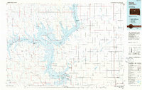 1986 Onida1986 Print · USGSThe high plains of Sully County meet the vast waters of the Missouri River in the mid-1980s. Local researchers can trace the Chicago and North Western rail line through Onida and Agar or locate the Blunt Cemetery on the southern horizon.2 unique versions available
 - 2012 Map of Crokett Mountains, 2012 Print
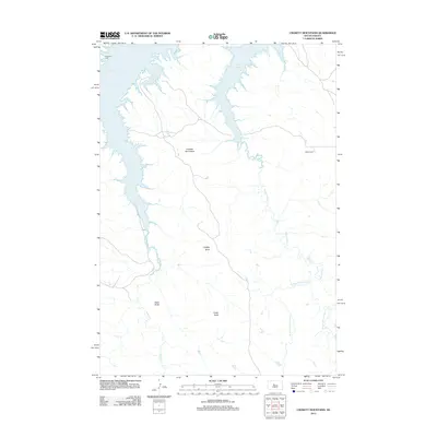 2012 Crokett Mountains2012 Print · USGSStanley County ranch lands and high buttes are documented here in the early twenty-first century as the landscape meets the Missouri River. Genealogists and researchers can locate the Rousseau Cem or trace the drainages of Sansarc Cr and Minneconjou Cr.
 - 2015 Map of Crokett Mountains, 2015 Print
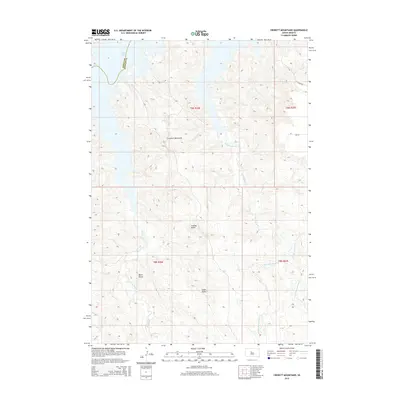 2015 Crokett Mountains2015 Print · USGSStanley County ranch lands are shown at the edge of the Missouri River reservoir in the mid-2010s. Trace the rugged terrain from Lake Oahe across the Crockett Mountains to prominent local landmarks like Lindsay Butte and Black Butte.
 - 2017 Map of Crokett Mountains, 2017 Print
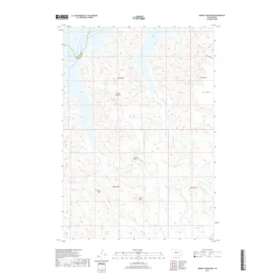 2017 Crokett Mountains2017 Print · USGSStanley and Dewey Counties are shown here during the late 2010s, where the Missouri River valley meets the high plains. Researchers can trace the rugged topography of the Crockett Mountains and locate landmarks like Lindsay Butte and Cedar Butte.
 - 2021 Map of Crokett Mountains, 2021 Print
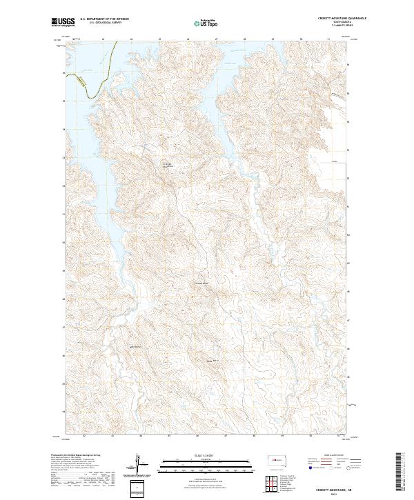 2021 Crokett Mountains2021 Print · USGSThe high plains meet the Missouri River valley in this contemporary record of the Stanley County shoreline. Researchers can trace the drainages of Sansarc Cr and Minneconjou Cr or locate landmarks like Lindsay Butte and Black Butte.
End of results
Showing maps 1-8 of 8
Frequently asked questions
- What are the different types of historical maps available for Webb Ranch?
- What is the oldest map of Webb Ranch?
- Where can I purchase historical maps of Webb Ranch for my home or office?
- Where can I download high-res historical maps of Webb Ranch?
- Are there historical topographic maps available for Webb Ranch?
- Is there historical aerial imagery available for Webb Ranch?
- Where are historical maps of Webb Ranch sourced from?