Old Maps of Okreek, Okreek Segment for Hiking & Exploration
Hike through history with 8 historic maps of Okreek. Explore old trails, ghost towns, and forgotten backroads — perfect for outdoor adventurers and local explorers.
- Rediscover forgotten places: Map out old mining camps, roads, and footpaths that no longer exist on modern maps.
- Layer with modern tools: Combine with LiDAR or satellite views to plan hikes through historical terrain.
- Made for exploration: Popular among hikers, overlanders, and local history lovers.
Use these maps to find adventure and explore the hidden past of Okreek.
Okreek, Okreek Segment maps
(8)- 1955 Map of Martin, 1968 Print
 1955 Martin1968 Print · USGSTribal lands and rail corridors define the South Dakota plains in the mid-fifties, from the sand hills to the badlands. Genealogists and historians can trace the early layout of Pine Ridge Indian Reservation settlements and find small rail towns like Stamford and Witten.2 unique versions available
 - 1958 Map of Martin
 1958 Martin1958 Print · USGSSouth Dakota's southern plains are documented here in the late fifties, showing the expansive Pine Ridge and Rosebud Indian Reservations. Genealogists and historians can locate early settlements along the Chicago Milwaukee St Paul and Pacific line or find family roots near Martin and the Indian Cemetery.
 - 1982 Map of Okreek
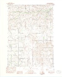 1982 Okreek1982 Print · USGSThe community of Okreek is captured in the early eighties as it serves the surrounding Rosebud Indian Reservation. Researchers can trace the layout of the settlement, identifying local landmarks like St Peters Ch and the Post Office along the banks of Oak Creek.
 - 1982 Map of Mission, 1983 Print
 1982 Mission1983 Print · USGSThe Rosebud Reservation in the early eighties shows a landscape of plains communities and aviation outposts. Genealogists and researchers can trace local centers like Mission, Rosebud, and St Francis, or locate family landmarks near Antelope Lake and the Keya Paha River.
 - 2012 Map of Okreek, 2012 Print
 2012 Okreek2012 Print · USGSCovers Okreek, including Antelope Segment, Okreek Segment, and other nearby areas
 - 2015 Map of Okreek, 2015 Print
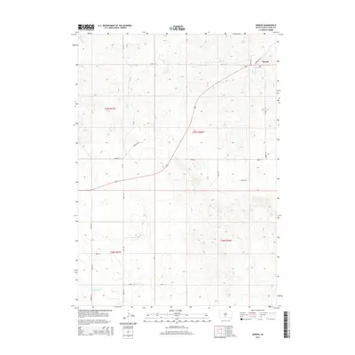 2015 Okreek2015 Print · USGSCovers Okreek, including Antelope Segment, Okreek Segment, and other nearby areas
 - 2017 Map of Okreek, 2017 Print
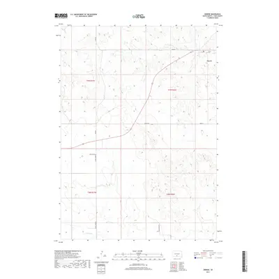 2017 Okreek2017 Print · USGSCovers Okreek, including Antelope Segment, Okreek Segment, and other nearby areas
 - 2021 Map of Okreek, 2021 Print
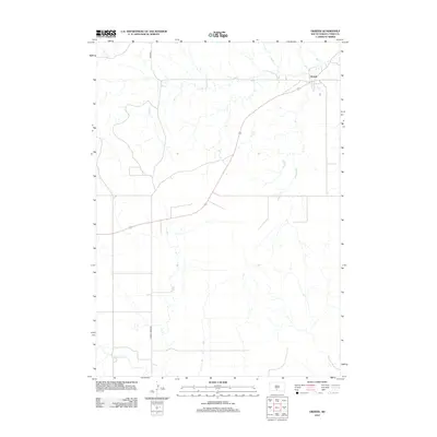
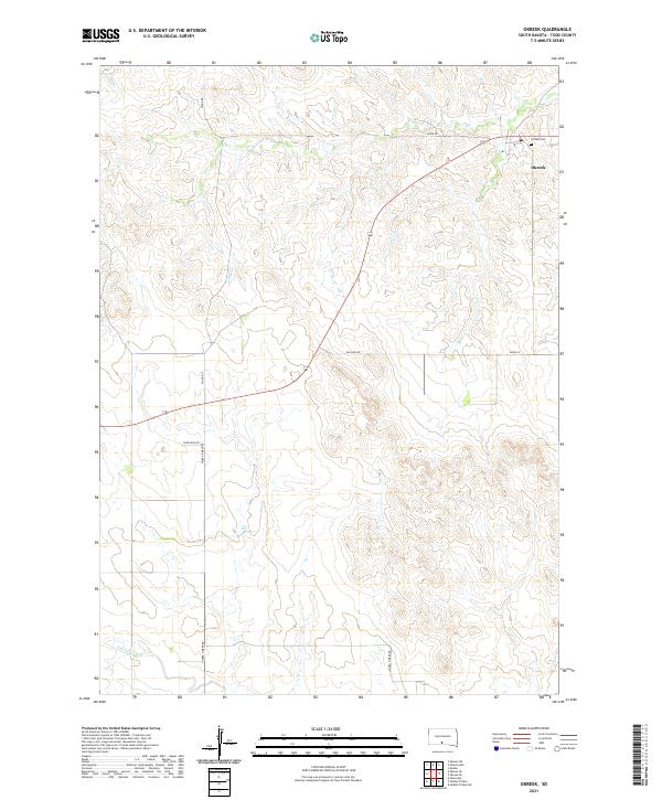 2021 Okreek2021 Print · USGSTodd County, South Dakota, is documented here in the early 2020s, showing the enduring rural layout of the northern plains. Local history researchers can trace family connections at Calvary Cem or follow the paths of Oak Cr and Hidden Timber Rd.
End of results
Showing maps 1-8 of 8
Top cities near Okreek
Frequently asked questions
- What are the different types of historical maps available for Okreek?
- What is the oldest map of Okreek?
- Where can I purchase historical maps of Okreek for my home or office?
- Where can I download high-res historical maps of Okreek?
- Are there historical topographic maps available for Okreek?
- Is there historical aerial imagery available for Okreek?
- Where are historical maps of Okreek sourced from?