Old Maps of Wood, South Dakota
Explore 14 old maps of Wood, spanning from 1955 to today. These high-resolution historic maps reveal how streets, neighborhoods, landmarks, and natural features evolved over time — perfect for genealogy, metal detecting, research, and local history exploration.
What you can do with these maps:
- See how Wood changed over time: Compare historical maps to modern-day views to trace roads, homesites, rail lines & more.
- View detailed metadata: Each map includes creators, publishers, year, scale, and archive source.
- Overlay maps with satellite & LiDAR: Visualize the past alongside modern tools to explore terrain & human change.
- Trusted historical sources: Maps sourced from the USGS, Library of Congress, and other archives.
- Access maps your way: View online, download high-res files, or order prints for personal or research use.
Start exploring old maps of Wood to uncover forgotten places, hidden landmarks, and the deep history beneath your feet.
Wood, SD maps
(14)- 1955 Map of Martin, 1968 Print
 1955 Martin1968 Print · USGSTribal lands and rail corridors define the South Dakota plains in the mid-fifties, from the sand hills to the badlands. Genealogists and historians can trace the early layout of Pine Ridge Indian Reservation settlements and find small rail towns like Stamford and Witten.2 unique versions available
 - 1958 Map of Martin
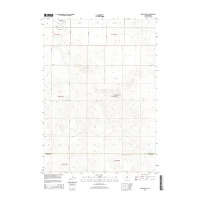
 1958 Martin1958 Print · USGSSouth Dakota's southern plains are documented here in the late fifties, showing the expansive Pine Ridge and Rosebud Indian Reservations. Genealogists and historians can locate early settlements along the Chicago Milwaukee St Paul and Pacific line or find family roots near Martin and the Indian Cemetery.
 - 1982 Map of Wood North
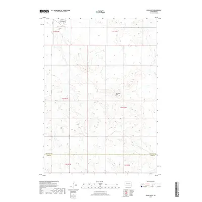
 1982 Wood North1982 Print · USGSMellette County during the early eighties remains a landscape defined by its natural waterways and tribal boundaries. Genealogists and researchers can trace the winding courses of White Thunder Creek and Butte Creek through the Rosebud and Cody areas.
 - 1982 Map of Wood South
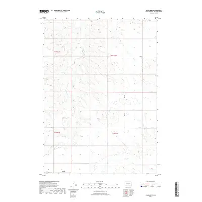
 1982 Wood South1982 Print · USGSThe northern edge of the Rosebud Reservation comes into focus during the early 1980s, centered on the community of Wood. Researchers can trace local landmarks and burial sites like the Grandstand Rodeo Arena, Evergreen Cem, and Rattlesnake Butte.
 - 1982 Map of Mission, 1983 Print
 1982 Mission1983 Print · USGSThe Rosebud Reservation in the early eighties shows a landscape of plains communities and aviation outposts. Genealogists and researchers can trace local centers like Mission, Rosebud, and St Francis, or locate family landmarks near Antelope Lake and the Keya Paha River.
 - 1985 Map of White River, 1986 Print
 1985 White River1986 Print · USGSSouth-central South Dakota comes into focus during the mid-eighties as a critical junction of rail and river life. Researchers can trace the Chicago and North Western line through high-plains towns like Murdo and Presho or locate rural landmarks such as Stony Butte and Fate Dam.2 unique versions available
 - 2012 Map of Wood North, 2012 Print
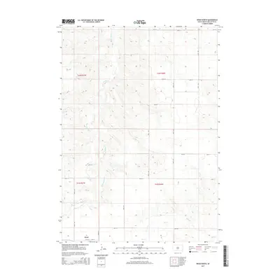
 2012 Wood North2012 Print · USGSCovers Wood, including Butte Creek Segment, Mellette County, and other nearby areas
 - 2012 Map of Wood South, 2012 Print
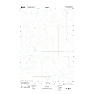
 2012 Wood South2012 Print · USGSCovers Wood, including Antelope Segment, Okreek Segment, and other nearby areas
 - 2015 Map of Wood North, 2015 Print
 2015 Wood North2015 Print · USGSCovers Wood, including Butte Creek Segment, Mellette County, and other nearby areas
 - 2015 Map of Wood South, 2015 Print
 2015 Wood South2015 Print · USGSCovers Wood, including Antelope Segment, Okreek Segment, and other nearby areas
 - 2017 Map of Wood South, 2017 Print
 2017 Wood South2017 Print · USGSCovers Wood, including Antelope Segment, Okreek Segment, and other nearby areas
 - 2017 Map of Wood North, 2017 Print
 2017 Wood North2017 Print · USGSCovers Wood, including Butte Creek Segment, Mellette County, and other nearby areas
 - 2021 Map of Wood North, 2021 Print
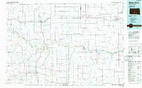
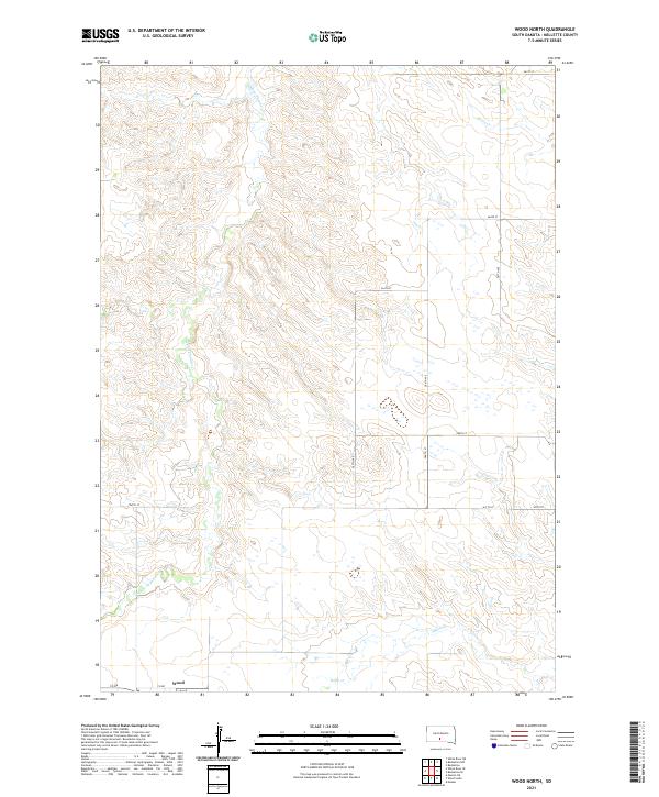 2021 Wood North2021 Print · USGSThe community of Wood anchors this early twenty-first-century view of the Mellette County plains. Trace the local drainage systems of White Thunder Cr and Butte Cr alongside a structured grid of rural routes like 287th Ave.
 - 2021 Map of Wood South, 2021 Print
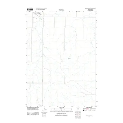
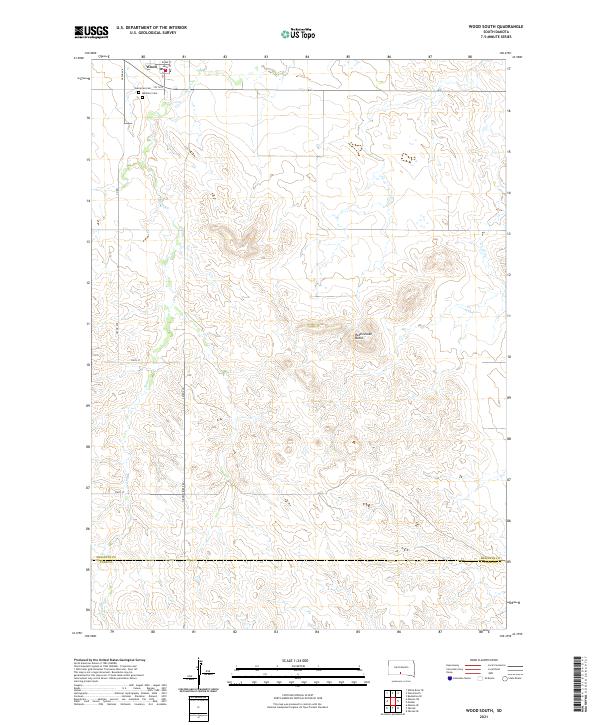 2021 Wood South2021 Print · USGSThe township of Wood and the surrounding prairie are captured here during the early 2020s. Genealogists and local historians can locate Evergreen Cem, Mediator Cem, and the winding path of Butte Cr as it flows south toward the county line.
End of results
Showing maps 1-14 of 14
Top cities near Wood
Frequently asked questions
- What are the different types of historical maps available for Wood?
- What is the oldest map of Wood?
- Where can I purchase historical maps of Wood for my home or office?
- Where can I download high-res historical maps of Wood?
- Are there historical topographic maps available for Wood?
- Is there historical aerial imagery available for Wood?
- Where are historical maps of Wood sourced from?