2020s Maps of Wood, South Dakota
Explore 2 historic maps of Wood from the 2020s. These maps offer a rare glimpse into what life looked like during the 2020s — showing old roads, neighborhoods, homes, and landmarks that have changed or disappeared over time.
Whether you're researching your family's past, planning a metal detecting trip, or studying how Wood's landscape evolved across the 2020s, these high-resolution maps are a powerful tool for exploring the history of this region.
- Focus on a specific era: All maps on this page are from the 2020s, giving you a focused view of this time period.
- See what’s changed: Compare century-old streets, trails, and buildings to today's modern landscape using overlays and satellite layers.
- Research with precision: Use these maps for genealogy, historical research, land use analysis, or educational projects.
- View, download, or print: Maps are fully viewable online in high resolution, and can be downloaded or printed for your own records.
Start exploring Wood's history through authentic maps from the 2020s. This is your window into the past.
Wood, SD maps
(2)- 2021 Map of Wood North, 2021 Print
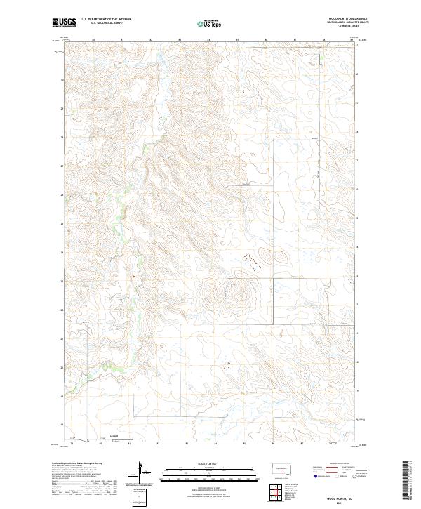 2021 Wood North2021 Print · USGSThe community of Wood anchors this early twenty-first-century view of the Mellette County plains. Trace the local drainage systems of White Thunder Cr and Butte Cr alongside a structured grid of rural routes like 287th Ave.
 - 2021 Map of Wood South, 2021 Print
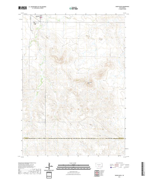 2021 Wood South2021 Print · USGSThe township of Wood and the surrounding prairie are captured here during the early 2020s. Genealogists and local historians can locate Evergreen Cem, Mediator Cem, and the winding path of Butte Cr as it flows south toward the county line.
End of results
Showing maps 1-2 of 2
Top cities near Wood
Frequently asked questions
- What are the different types of historical maps available for Wood?
- What is the oldest map of Wood?
- Where can I purchase historical maps of Wood for my home or office?
- Where can I download high-res historical maps of Wood?
- Are there historical topographic maps available for Wood?
- Is there historical aerial imagery available for Wood?
- Where are historical maps of Wood sourced from?