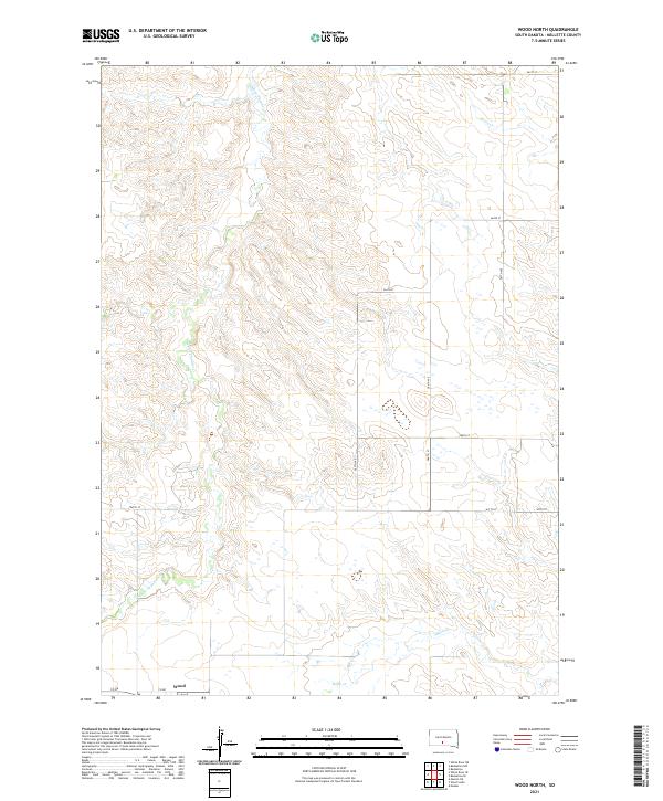
2021 Map of Wood North
USGS Topo · Published 2021About this map
Wood sits at the southern edge of this West River landscape, serving as a focal point for a region defined by its wide drainage basins and section-line road network. The terrain is shaped by the winding courses of White Thunder Cr, Louis Cr, and Butte Cr, which carve through the plains of Mellette County. This 2021 survey illustrates the endurance of the Public Land Survey System, with township and range lines like t42n r27w and t41n r26w organizing the vast agricultural and grazing lands. The infrastructure is primarily composed of an orderly grid of rural routes, including Co Rd and numbered corridors like 287th Ave and 261st St. These roads provide the essential links between the scattered farmsteads and the community of Wood, reflecting the sparse but systematic settlement pattern of the South Dakota prairie in the early twenty-first century.
Find a feature on this map
17 named features on this map. Tap any name to fly to it.
Don’t see what you’re looking for? This feature index may not catch every label — zoom into the map to look around manually.
Map Details
Editions of this 2021 Wood North Map
This is the sole edition of this map. No revisions or reprints were ever made.
Other maps of this area

1951 · Badnation
USGS Topo · 1:24,000

1951 · White River NE
USGS Topo · 1:24,000

1951 · Badnation NW
USGS Topo · 1:24,000

1955 · Martin
USGS Topo · 1:250,000

1958 · Martin
USGS Topo · 1:250,000

1982 · Mission NE
USGS Topo · 1:24,000

1982 · White River SE
USGS Topo · 1:24,000

1982 · Wood North
USGS Topo · 1:24,000

1982 · Badnation SE
USGS Topo · 1:25,000

1982 · Mosher
USGS Topo · 1:25,000