
1982 Map of Mosher
USGS Topo · Published 1982About this map
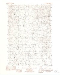
Mosher and the surrounding plains of the Rosebud Indian Reservation define this corner of south-central South Dakota in the early 1980s. The landscape is deeply carved by intermittent drainages, including McChesneys Creek, Oak Creek, and DeBell Creek, which wind through the township boundaries of Butte and Mellette. A significant historical artifact is the Old R.R. Grade running east-to-west across the northern section, marking a legacy of transportation that once connected these prairie outposts. Cultural landmarks such as the Advent Cem and local utility Tanks near Mosher provide specific points of interest for genealogists and local historians tracking the development of this rural ranching region. The map also delineates the county line between Mellette and Todd, reflecting the intersection of municipal and tribal lands.
Find a feature on this map
12 named features on this map. Tap any name to fly to it.
Don’t see what you’re looking for? This feature index may not catch every label — zoom into the map to look around manually.
Map Details
Editions of this 1982 Mosher Map
This is the sole edition of this map. No revisions or reprints were ever made.
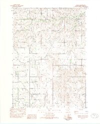
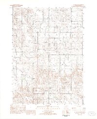
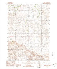
Other maps of this area

1955 · Martin
USGS Topo · 1:250,000

1958 · Martin
USGS Topo · 1:250,000
1982 · Two Nation Creek
USGS Topo · 1:25,000

1982 · Wood North
USGS Topo · 1:24,000

1982 · Badnation SE
USGS Topo · 1:25,000
1982 · Okreek
USGS Topo · 1:25,000
1982 · Witten SW
USGS Topo · 1:25,000
1982 · Okreek SE
USGS Topo · 1:24,000

1982 · Carter
USGS Topo · 1:25,000

1982 · Wood South
USGS Topo · 1:24,000