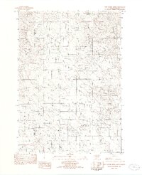
1982 Map of Two Nation Creek
USGS Topo · Published 1982About this map
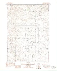
Pahapesto and Oculew define the upland landscape along the rural boundary where Mellette and Tripp Counties meet. This early 1980s provisional survey documents a sparse, high-plains environment structured by intermittent waterways and isolated infrastructure. The namesake Two Nation Creek flows through the southern reaches, while the northern terrain is drained by Little Dog Creek and Cottonwood Creek.
Find a feature on this map
10 named features on this map. Tap any name to fly to it.
Don’t see what you’re looking for? This feature index may not catch every label — zoom into the map to look around manually.
Map Details
Editions of this 1982 Two Nation Creek Map
This is the sole edition of this map. No revisions or reprints were ever made.
Other maps of this area
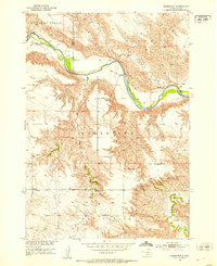
1951 · Badnation
USGS Topo · 1:24,000
1951 · Presho 4 NE
USGS Topo · 1:24,000
1951 · Presho 4 NW
USGS Topo · 1:24,000

1955 · Martin
USGS Topo · 1:250,000

1958 · Martin
USGS Topo · 1:250,000
1982 · Presho 4 SE
USGS Topo · 1:25,000

1982 · Badnation SE
USGS Topo · 1:25,000

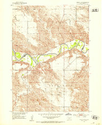
1982 · Witten
USGS Topo · 1:25,000

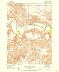
1982 · Carter
USGS Topo · 1:25,000

1982 · Mosher
USGS Topo · 1:25,000