
1951 Map of Presho 4 NE
USGS Topo · Published 1953About this map
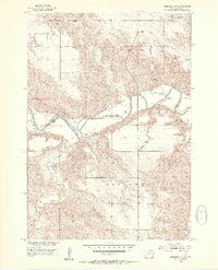
The White River carves a deep, winding path through this portion of South Dakota, serving as the natural boundary between Lyman and Tripp Counties. The surrounding terrain is defined by complex erosional patterns and drainages like Mission Creek, Cottonwood Creek, and Dog Ear Creek. In the early 1950s, the rural community structure was centered on localized institutions such as the Holy Rosary Ch and the North Greenwood Sch. These landmarks, along with a solitary Gravel Pit and scattered wells, reflect a sparse prairie settlement pattern during the Missouri River Basin development era. The map's detailed contouring highlights the dramatic elevation changes between the river valley floor and the high plateau townships of Sylvia and Greenwood.
Find a feature on this map
14 named features on this map. Tap any name to fly to it.
Don’t see what you’re looking for? This feature index may not catch every label — zoom into the map to look around manually.
Map Details
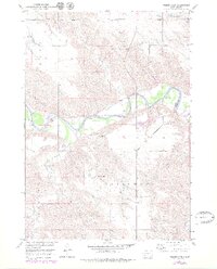
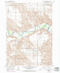
Editions of this 1951 Presho 4 NE Map
4 editions found
Other maps of this area

1951 · Ideal NW
USGS Topo · 1:24,000

1951 · Presho 4 NW
USGS Topo · 1:24,000

1955 · Martin
USGS Topo · 1:250,000

1955 · Mitchell
USGS Topo · 1:250,000

1958 · Martin
USGS Topo · 1:250,000

1959 · Mitchell
USGS Topo · 1:250,000

1978 · Kennebec SW
USGS Topo · 1:24,000
1978 · Presho SE
USGS Topo · 1:24,000

1978 · Presho SW
USGS Topo · 1:24,000

1982 · Presho 4 SE
USGS Topo · 1:25,000