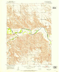
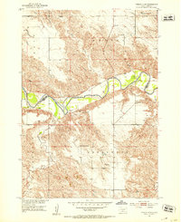
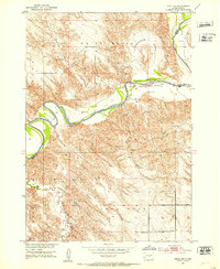
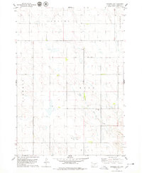
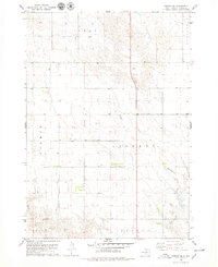
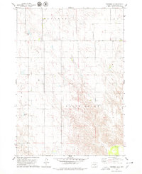
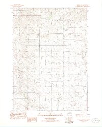
1951 Map of Ideal NW
USGS Topo · Published 1953About this map
The White River carves a winding path across the South Dakota plains, defining the boundary between Lyman and Tripp counties. This mid-century survey reveals a landscape of isolated ranching outposts and small rural schoolhouses that served the expansive homesteads of Sylvia, Edna, and Star Valley. The presence of the Nelson Sch (Abandoned) by the early 1950s suggests the shifting demographics of the region, while the Edna Sch remained a focal point for the community near the Christensen Ranch.
Find a feature on this map
17 named features on this map. Tap any name to fly to it.
Don’t see what you’re looking for? This feature index may not catch every label — zoom into the map to look around manually.
Map Details
Editions of this 1951 Ideal NW Map
2 editions found
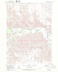
Other maps of this area
1951 · Presho 4 NE
USGS Topo · 1:24,000
1951 · Ideal NE
USGS Topo · 1:24,000

1955 · Martin
USGS Topo · 1:250,000

1955 · Mitchell
USGS Topo · 1:250,000

1958 · Martin
USGS Topo · 1:250,000

1959 · Mitchell
USGS Topo · 1:250,000
1978 · Kennebec SW
USGS Topo · 1:24,000
1978 · Presho SE
USGS Topo · 1:24,000
1978 · Kennebec SE
USGS Topo · 1:24,000
1982 · Presho 4 SE
USGS Topo · 1:25,000