
1978 Map of Kennebec SW
USGS Topo · Published 1979About this map
The townships of Earling, Liberty, and Rose converge in this section of Lyman County, characterized by the wide drainage patterns of Davis Creek. This 1970s landscape reflects the systematic section-line organization of South Dakota's rural interior, where topography dictated the placement of early community landmarks. A critical point of local history is found at Prairie View Cem, located north of the creek, serving the surrounding families in the townships of Sylvia and Edna. The map provides a precise look at the rural road network and section boundaries that have defined these plains for generations, including the western edge of Kennebec township.
Find a feature on this map
8 named features on this map. Tap any name to fly to it.
Don’t see what you’re looking for? This feature index may not catch every label — zoom into the map to look around manually.
Map Details
Editions of this 1978 Kennebec SW Map
This is the sole edition of this map. No revisions or reprints were ever made.
Other maps of this area

1951 · Presho 4 NE
USGS Topo · 1:24,000

1951 · Ideal NW
USGS Topo · 1:24,000

1951 · Ideal NE
USGS Topo · 1:24,000

1955 · Martin
USGS Topo · 1:250,000

1955 · Mitchell
USGS Topo · 1:250,000

1958 · Martin
USGS Topo · 1:250,000

1959 · Mitchell
USGS Topo · 1:250,000
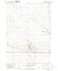
1978 · Presho
USGS Topo · 1:24,000
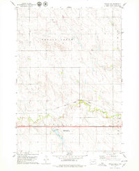
1978 · Brakke Dam
USGS Topo · 1:24,000
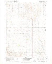
1978 · Presho SE
USGS Topo · 1:24,000