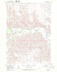
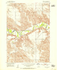
1951 Map of Ideal NW
USGS Topo · Published 1979About this map
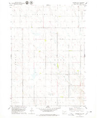
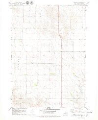
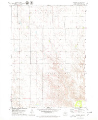
The White River carves a winding path through this central South Dakota landscape, defining the border between Lyman and Tripp counties. This mid-century survey, updated with late-1970s aerial data, reveals a ranching economy centered around the riparian flats of Gunny Sack Bottom and the broad reaches of Star Valley. Several established family operations are documented, including the Christensen Ranch and Kewley Ranch, which sit near the river's edge.
Find a feature on this map
18 named features on this map. Tap any name to fly to it.
Don’t see what you’re looking for? This feature index may not catch every label — zoom into the map to look around manually.
Map Details
Editions of this 1951 Ideal NW Map
2 editions found
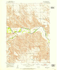
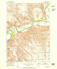
Other maps of this area
1951 · Presho 4 NE
USGS Topo · 1:24,000
1951 · Ideal NW
USGS Topo · 1:24,000
1951 · Ideal NE
USGS Topo · 1:24,000

1955 · Martin
USGS Topo · 1:250,000

1955 · Mitchell
USGS Topo · 1:250,000

1958 · Martin
USGS Topo · 1:250,000

1959 · Mitchell
USGS Topo · 1:250,000
1978 · Kennebec SW
USGS Topo · 1:24,000
1978 · Presho SE
USGS Topo · 1:24,000
1978 · Kennebec SE
USGS Topo · 1:24,000