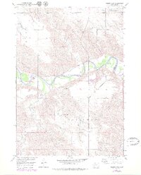
1951 Map of Presho 4 NE
USGS Topo · Published 1979About this map
The White River meanders sharply across this central South Dakota landscape, carving a wide valley floor between the uplands of Sylvia and Greenwood. Surveyed in the early 1950s with revisions through the mid-1970s, the map documents a sparse, rural settlement pattern defined by isolated institutions and family-named terrain. Cultural life in this prairie reach is anchored by the Holy Rosary Ch and the North Greenwood Sch, both situated on the high ground overlooking the river's drainage network. The hydrology of the area is particularly detailed, showing the convergence of Mission Creek, Mill Iron Creek, and Cottonwood Creek as they feed the primary river channel. A Gravel Pit near the river bank suggests the small-scale local industry that supported road construction in this ranching country.
Find a feature on this map
15 named features on this map. Tap any name to fly to it.
Don’t see what you’re looking for? This feature index may not catch every label — zoom into the map to look around manually.
Map Details
Editions of this 1951 Presho 4 NE Map
4 editions found
Other maps of this area

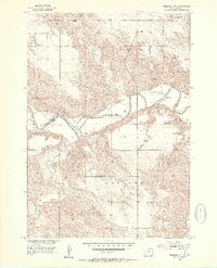
1951 · Presho 4 NE
USGS Topo · 1:24,000

1951 · Ideal NW
USGS Topo · 1:24,000

1951 · Presho 4 NW
USGS Topo · 1:24,000

1955 · Martin
USGS Topo · 1:250,000

1955 · Mitchell
USGS Topo · 1:250,000

1958 · Martin
USGS Topo · 1:250,000

1959 · Mitchell
USGS Topo · 1:250,000

1978 · Kennebec SW
USGS Topo · 1:24,000
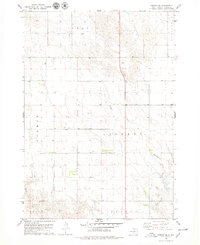
1978 · Presho SE
USGS Topo · 1:24,000

1978 · Presho SW
USGS Topo · 1:24,000