
1978 Map of Presho SW
USGS Topo · Published 1979About this map
Mission Creek meanders through the heart of this central South Dakota landscape, defining the topography across the townships of Moore, Hilmoe, Sioux, and Pratt. This late 1970s survey captures a rural landscape dominated by wide drainages and the survey lines of the Vivian district. One of the few specific historical markers in this prairie expanse is the Hilmoe Cem, located in the southern portion of the quadrangle. The map is a record of the region's section-line road network and open terrain before subsequent decades of land use changes. It provides a detailed view of the natural watercourses that shaped early settlement patterns and township boundaries in Lyman County.
Find a feature on this map
7 named features on this map. Tap any name to fly to it.
Don’t see what you’re looking for? This feature index may not catch every label — zoom into the map to look around manually.
Map Details
Editions of this 1978 Presho SW Map
This is the sole edition of this map. No revisions or reprints were ever made.
Other maps of this area

1951 · Badnation
USGS Topo · 1:24,000

1951 · Presho 4 NE
USGS Topo · 1:24,000

1951 · Presho 4 NW
USGS Topo · 1:24,000

1955 · Martin
USGS Topo · 1:250,000

1958 · Martin
USGS Topo · 1:250,000

1972 · Vivian
USGS Topo · 1:24,000

1972 · Vivian SE
USGS Topo · 1:24,000
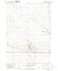
1978 · Presho
USGS Topo · 1:24,000
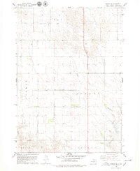
1978 · Presho SE
USGS Topo · 1:24,000
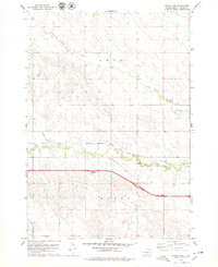
1978 · Presho NW
USGS Topo · 1:24,000