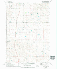
1972 Map of South of Pierre
USGS Topo · Published 1994About this map
Richland township defines the southwestern portion of this 1970s landscape, an area characterized by the winding drainages of the Missouri River plateau. Watercourses like Gray Blanket Creek in the northwest and Antelope Creek cutting through the center provide the primary relief in this prairie environment. The presence of a remote Landing Strip near Cedar Creek in the southeast suggests the necessity of light aircraft for managing large agricultural holdings or navigating the wide-open spaces of Central South Dakota. Crossing the multi-county boundary where Stanley, Jones, and Lyman counties meet, this sheet illustrates the vastness of the High Plains ranching country. The detailed mapping of fence and field lines, noted by the Department of the Interior, offers researchers a precise view of rural land use and property divisions as they existed before late-century shifts in regional agribusiness.
Find a feature on this map
7 named features on this map. Tap any name to fly to it.
Don’t see what you’re looking for? This feature index may not catch every label — zoom into the map to look around manually.
Map Details
Editions of this 1972 South of Pierre Map
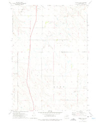
2 editions found
Other maps of this area

1924 · Pierre
USGS Topo · 1:62,500

1934 · Canning
USGS Topo · 1:48,000

1937 · Canning
USGS Topo · 1:62,500

1953 · Pierre SW
USGS Topo · 1:24,000

1953 · Pierre 3 NW
USGS Topo · 1:24,000

1954 · Pierre
USGS Topo · 1:250,000

1958 · Pierre
USGS Topo · 1:250,000

1967 · Ft. George Butte NW
USGS Topo · 1:24,000

1967 · Ft. George Butte SW
USGS Topo · 1:24,000

1972 · Pierre 3 SW
USGS Topo · 1:24,000