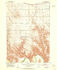
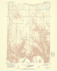
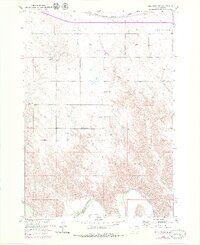
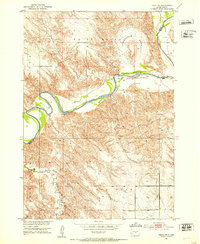
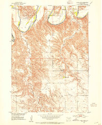
1952 Map of Reliance SW
USGS Topo · Published 1954About this map
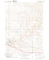
The White River carves a deep valley across the southern portion of this landscape, marking the rugged boundary between Lyman and Tripp Counties. In the early 1950s, this area of South Dakota was characterized by a sparse network of rural institutions serving isolated ranching and farming homesteads. Education was centered at the Roosevelt Sch and Hieb Sch, while spiritual life was anchored by the Reformed Ch and the nearby Trinity Cem. The terrain is dominated by prominent elevations like Red Butte and the Bailey region, with drainage provided by Red Butte Creek and Bad Creek. In the northern reaches, the Chicago Milwaukee St Paul and Pacific railroad traverses the plains near Reliance, providing a vital commercial link for local operations such as the Nelson Ranch and other residents of the Rex township area.
Find a feature on this map
17 named features on this map. Tap any name to fly to it.
Don’t see what you’re looking for? This feature index may not catch every label — zoom into the map to look around manually.
Map Details
Editions of this 1952 Reliance SW Map
3 editions found
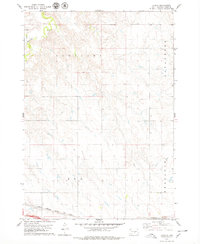
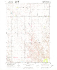
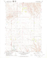
Other maps of this area
1951 · Ideal NE
USGS Topo · 1:24,000

1952 · Reliance SE
USGS Topo · 1:24,000
1952 · Hamill NW
USGS Topo · 1:24,000

1952 · Hamill NE
USGS Topo · 1:24,000

1955 · Mitchell
USGS Topo · 1:250,000

1959 · Mitchell
USGS Topo · 1:250,000
1978 · Lyman
USGS Topo · 1:24,000
1978 · Kennebec SE
USGS Topo · 1:24,000
1978 · Reliance
USGS Topo · 1:24,000
1978 · Kennebec
USGS Topo · 1:24,000