
1966 Map of Joe Creek SE
USGS Topo · Published 1967About this map
Lake Sharpe dominates the northern reaches of this landscape along the Missouri River, representing a pivotal moment in the mid-century transformation of the South Dakota river valley. The topography is defined by the sharp transition from the river basin up into the dissected uplands of the Lower Brule Indian Reservation Boundary.
Find a feature on this map
11 named features on this map. Tap any name to fly to it.
Don’t see what you’re looking for? This feature index may not catch every label — zoom into the map to look around manually.
Map Details
Editions of this 1966 Joe Creek SE Map
This is the sole edition of this map. No revisions or reprints were ever made.
Other maps of this area

1953 · Huron
USGS Topo · 1:250,000

1954 · Huron
USGS Topo · 1:250,000

1955 · Mitchell
USGS Topo · 1:250,000

1959 · Mitchell
USGS Topo · 1:250,000

1966 · Lower Brule NW
USGS Topo · 1:24,000

1966 · Joe Creek
USGS Topo · 1:24,000

1966 · Joe Creek NW
USGS Topo · 1:24,000

1966 · Lower Brule SW
USGS Topo · 1:24,000
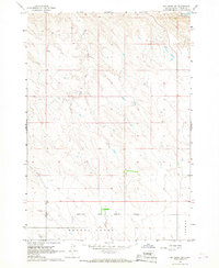
1966 · Joe Creek SW
USGS Topo · 1:24,000
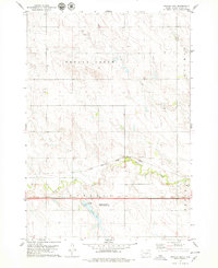
1978 · Brakke Dam
USGS Topo · 1:24,000