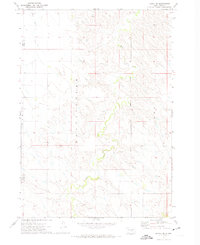
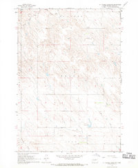
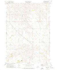
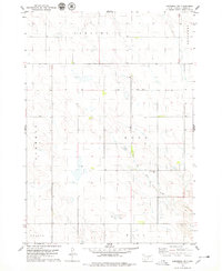
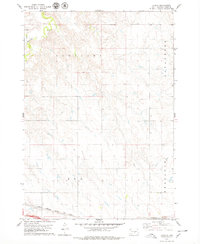
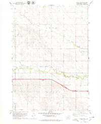
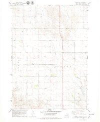
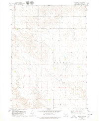
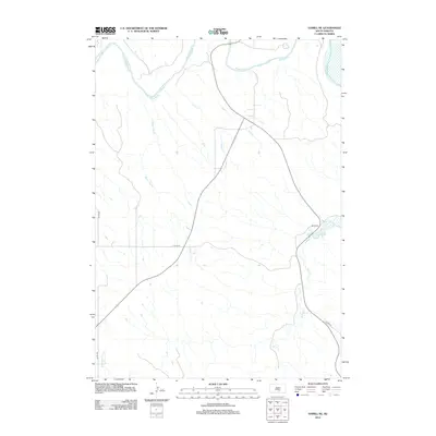
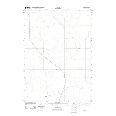
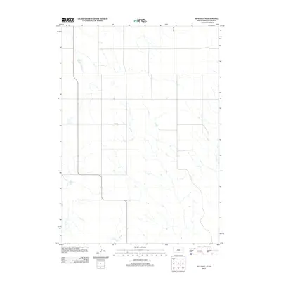
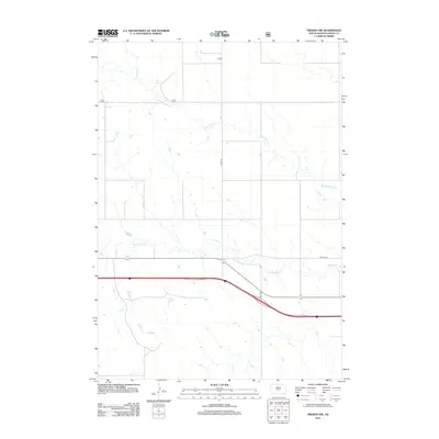
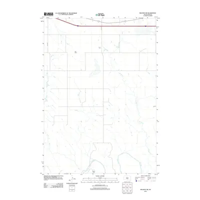
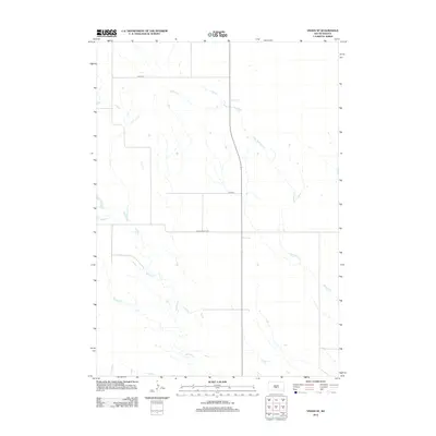
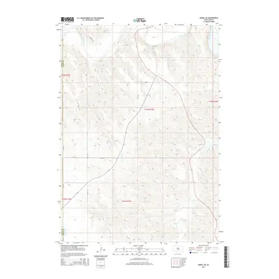
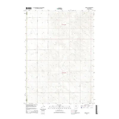
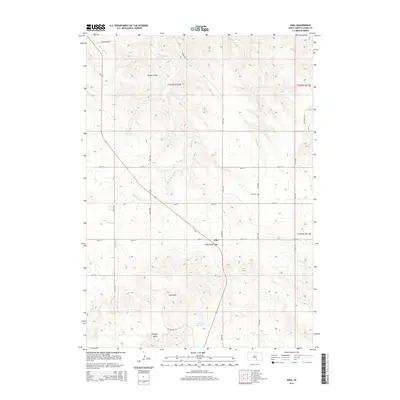
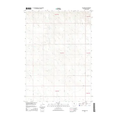
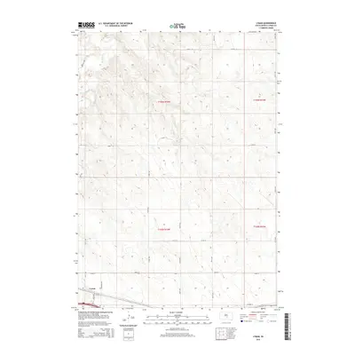
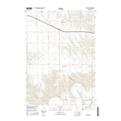
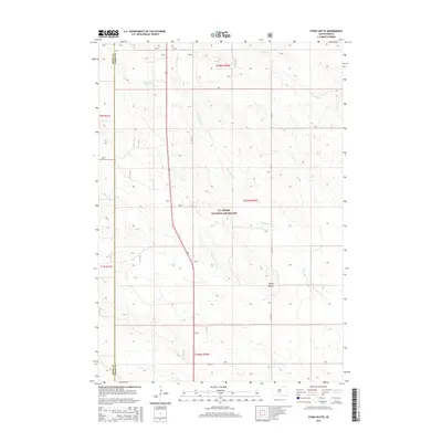
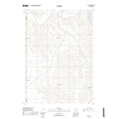
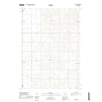
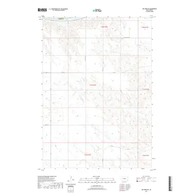
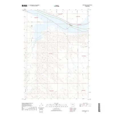
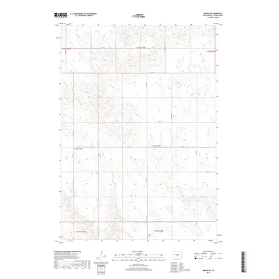
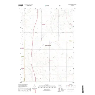
1971 Map of Hamill SE
USGS Topo · Published 1974About this map
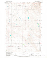
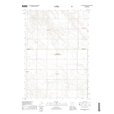
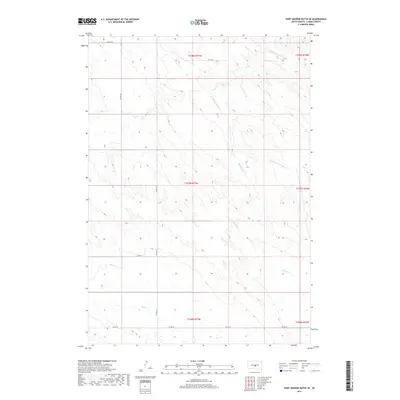
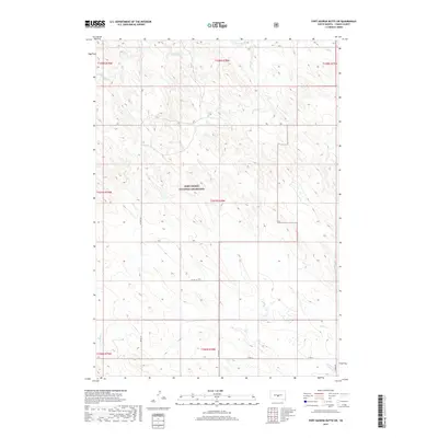
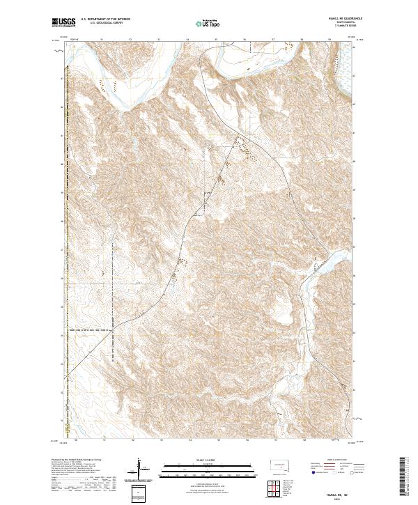
The Rosebud Indian Reservation Boundary cuts through this rural landscape in south-central South Dakota, marking a significant administrative and cultural line during the early 1970s. The terrain is defined by the winding paths of Black Dog Creek and Bull Creek, which shape the drainage patterns across the Tripp and Lyman county line. The presence of the Fairview Sch suggests a localized center of rural education serving the surrounding agricultural or ranching families of the era. Evidence of local industry is sparse but visible through scattered Gravel Pits and a Gravel Pit, pointing to the resource extraction necessary for maintaining the network of unimproved roads that crisscross the prairie. This survey offers a precise record of the land division and natural watercourses before modern shifts in rural infrastructure.
Find a feature on this map
7 named features on this map. Tap any name to fly to it.
Don’t see what you’re looking for? This feature index may not catch every label — zoom into the map to look around manually.
Map Details
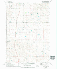
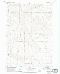
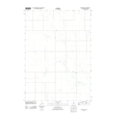
Editions of this 1971 Hamill SE Map
This is the sole edition of this map. No revisions or reprints were ever made.
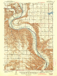
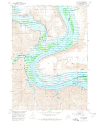
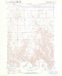
Historical Maps of Bull Creek Segment Through Time
127 maps found

1940 Iona
Lyman County, SD
1944 Iona
Lyman County, SD

1952 Hamill NE
Lyman County, SD
1952 Iona NW
Lyman County, SD

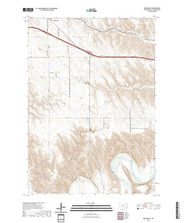
1952 Reliance SE
Lyman County, SD
1952 Reliance SW
Lyman County, SD
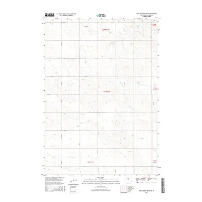
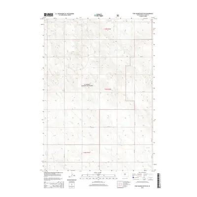
1966 Ft. George Butte SE
Lyman County, SD

1966 Joe Creek NW
Lyman County, SD

1966 Joe Creek SE
Lyman County, SD
1966 Joe Creek SW
Lyman County, SD

1966 Lower Brule SW
Lyman County, SD
1967 Ft. George Butte
Lyman County, SD
1967 Ft. George Butte NW
Lyman County, SD
1967 Ft. George Butte SW
Lyman County, SD
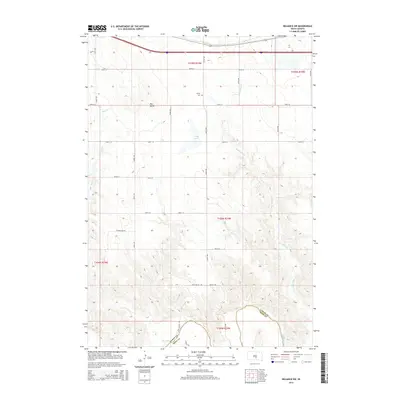
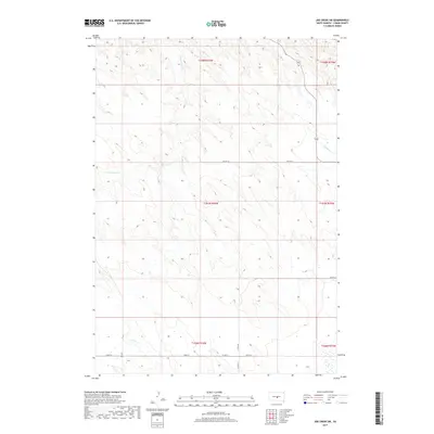
1971 Hamill SE
Lyman County, SD
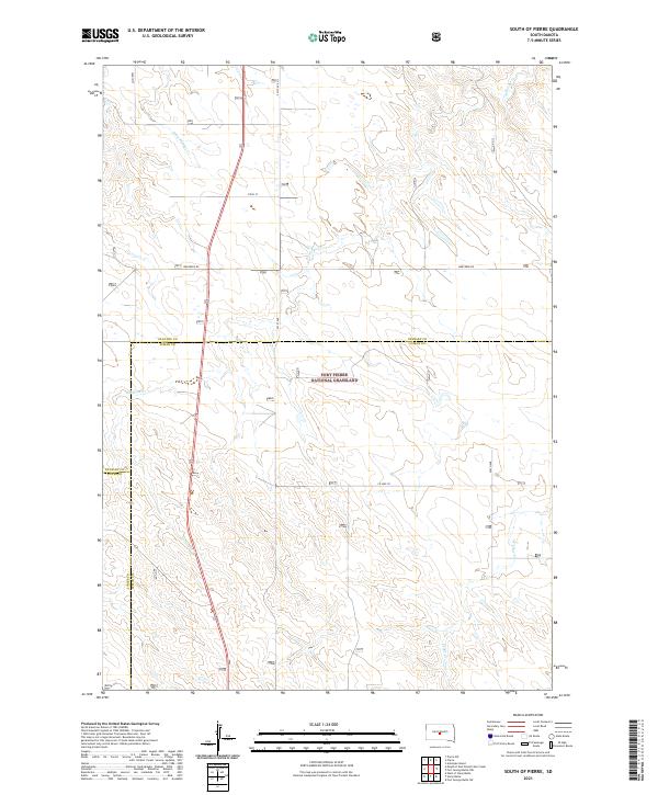
1972 South of Pierre
Lyman County, SD
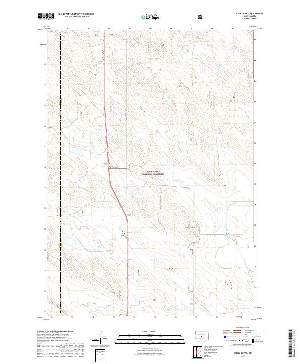
1972 Stony Butte
Lyman County, SD
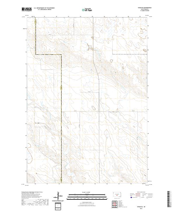
1972 Vivian SE
Lyman County, SD
1974 Iona
Lyman County, SD
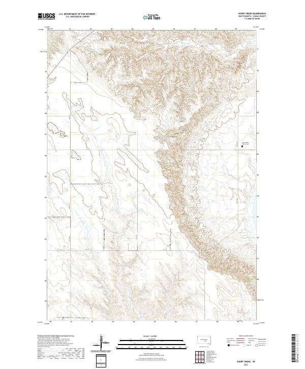
1974 Short Creek
Lyman County, SD
1978 Brakke Dam
Lyman County, SD
1978 Kennebec SE
Lyman County, SD
1978 Kennebec SW
Lyman County, SD
1978 Lyman
Lyman County, SD
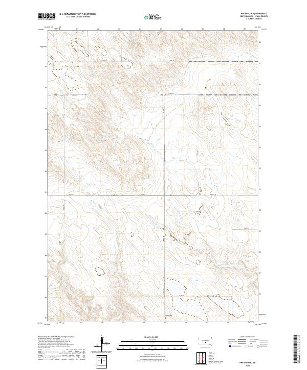
1978 Presho NW
Lyman County, SD
1978 Presho SE
Lyman County, SD
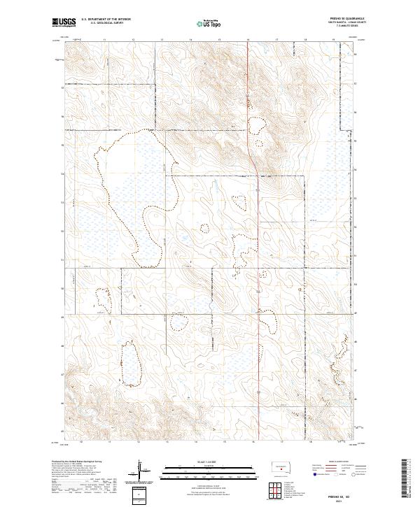
1978 Presho SW
Lyman County, SD
2012 Brakke Dam
Lyman County, SD
2012 Fort George Butte
Lyman County, SD
2012 Fort George Butte NW
Lyman County, SD
2012 Fort George Butte SE
Lyman County, SD
2012 Fort George Butte SW
Lyman County, SD
2012 Hamill NE
Lyman County, SD
2012 Hamill SE
Lyman County, SD
2012 Iona
Lyman County, SD

2012 Iona NW
Lyman County, SD
2012 Joe Creek NW
Lyman County, SD
2012 Joe Creek SE
Lyman County, SD
2012 Joe Creek SW
Lyman County, SD
2012 Kennebec SE
Lyman County, SD
2012 Kennebec SW
Lyman County, SD
2012 Lower Brule SW
Lyman County, SD
2012 Lyman
Lyman County, SD
2012 Presho NW
Lyman County, SD
2012 Presho SE
Lyman County, SD
2012 Presho SW
Lyman County, SD
2012 Reliance SE
Lyman County, SD
2012 Reliance SW
Lyman County, SD
2012 Short Creek
Lyman County, SD
2012 South of Pierre
Lyman County, SD
2012 Stony Butte
Lyman County, SD
2012 Vivian SE
Lyman County, SD
2015 Brakke Dam
Lyman County, SD
2015 Fort George Butte
Lyman County, SD
2015 Fort George Butte NW
Lyman County, SD
2015 Fort George Butte SE
Lyman County, SD
2015 Fort George Butte SW
Lyman County, SD
2015 Hamill NE
Lyman County, SD
2015 Hamill SE
Lyman County, SD
2015 Iona
Lyman County, SD
2015 Iona NW
Lyman County, SD
2015 Joe Creek NW
Lyman County, SD
2015 Joe Creek SE
Lyman County, SD
2015 Joe Creek SW
Lyman County, SD
2015 Kennebec SE
Lyman County, SD
2015 Kennebec SW
Lyman County, SD
2015 Lower Brule SW
Lyman County, SD
2015 Lyman
Lyman County, SD
2015 Presho NW
Lyman County, SD
2015 Presho SE
Lyman County, SD
2015 Presho SW
Lyman County, SD
2015 Reliance SE
Lyman County, SD
2015 Reliance SW
Lyman County, SD
2015 Short Creek
Lyman County, SD
2015 South of Pierre
Lyman County, SD
2015 Stony Butte
Lyman County, SD
2015 Vivian SE
Lyman County, SD
2017 Brakke Dam
Lyman County, SD
2017 Fort George Butte
Lyman County, SD
2017 Fort George Butte NW
Lyman County, SD
2017 Fort George Butte SE
Lyman County, SD
2017 Fort George Butte SW
Lyman County, SD
2017 Hamill NE
Lyman County, SD
2017 Hamill SE
Lyman County, SD
2017 Iona
Lyman County, SD
2017 Iona NW
Lyman County, SD
2017 Joe Creek NW
Lyman County, SD
2017 Joe Creek SE
Lyman County, SD
2017 Joe Creek SW
Lyman County, SD
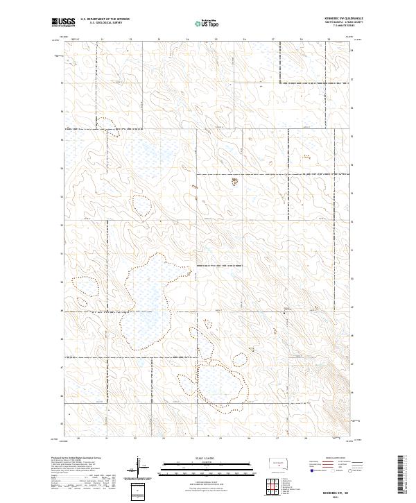
2017 Kennebec SE
Lyman County, SD
2017 Kennebec SW
Lyman County, SD
2017 Lower Brule SW
Lyman County, SD
2017 Lyman
Lyman County, SD
2017 Presho NW
Lyman County, SD
2017 Presho SE
Lyman County, SD
2017 Presho SW
Lyman County, SD
2017 Reliance SE
Lyman County, SD
2017 Reliance SW
Lyman County, SD
2017 Short Creek
Lyman County, SD
2017 South of Pierre
Lyman County, SD
2017 Stony Butte
Lyman County, SD
2017 Vivian SE
Lyman County, SD
2021 Brakke Dam
Lyman County, SD
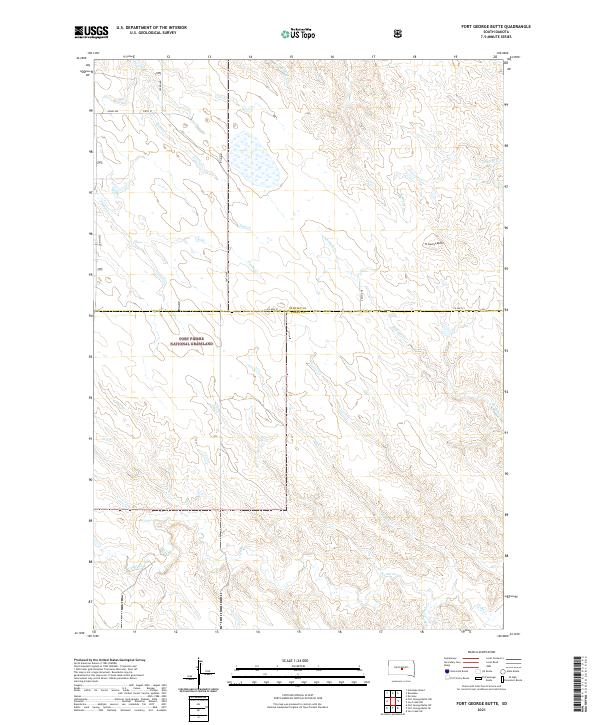
2021 Fort George Butte
Lyman County, SD
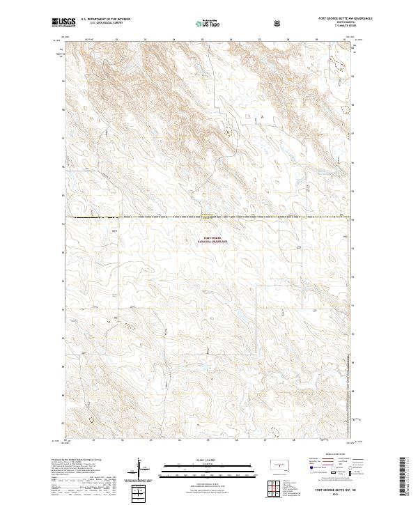
2021 Fort George Butte NW
Lyman County, SD
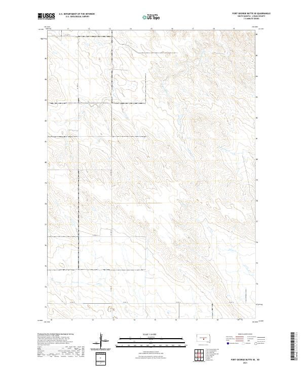
2021 Fort George Butte SE
Lyman County, SD
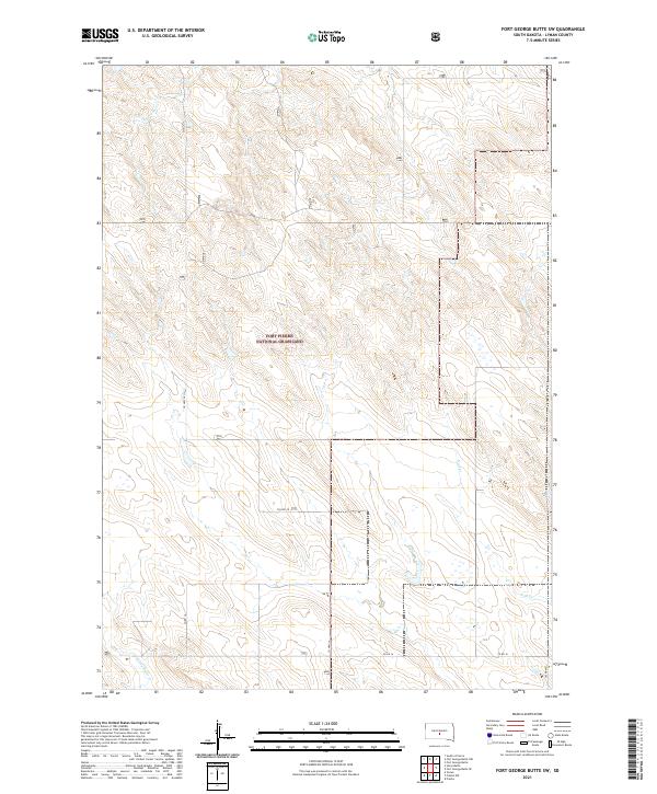
2021 Fort George Butte SW
Lyman County, SD
2021 Hamill NE
Lyman County, SD
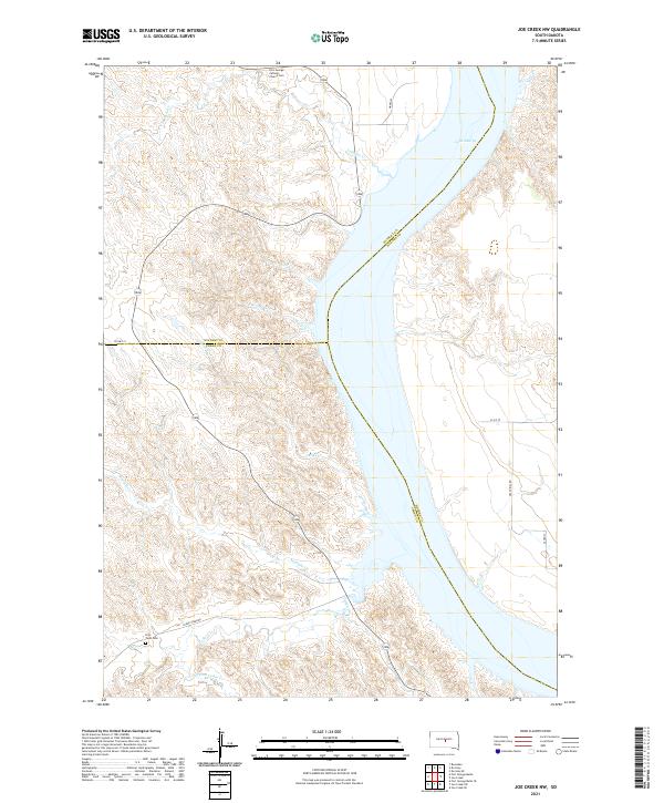
2021 Hamill SE
Lyman County, SD
2021 Iona
Lyman County, SD
2021 Iona NW
Lyman County, SD
2021 Joe Creek NW
Lyman County, SD

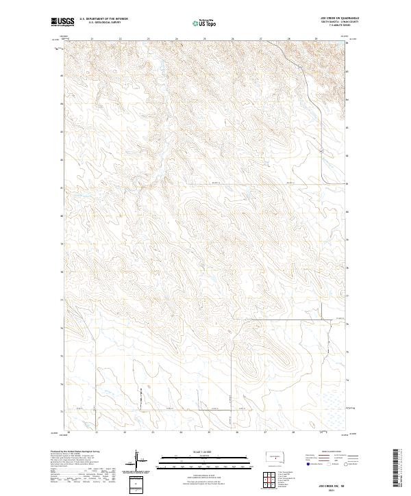
2021 Joe Creek SE
Lyman County, SD
2021 Joe Creek SW
Lyman County, SD
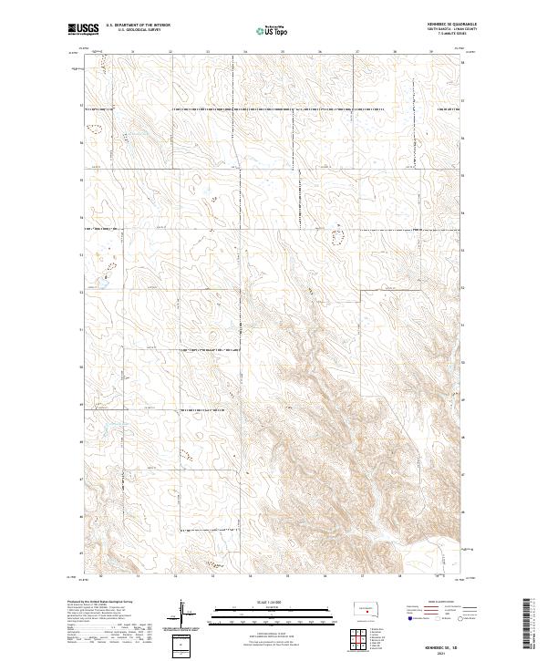
2021 Kennebec SE
Lyman County, SD
2021 Kennebec SW
Lyman County, SD
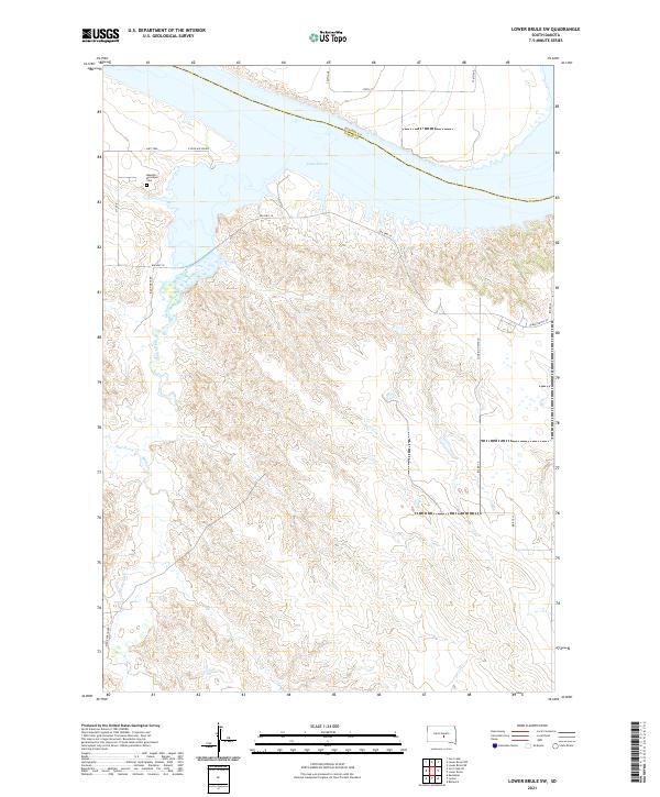
2021 Lower Brule SW
Lyman County, SD
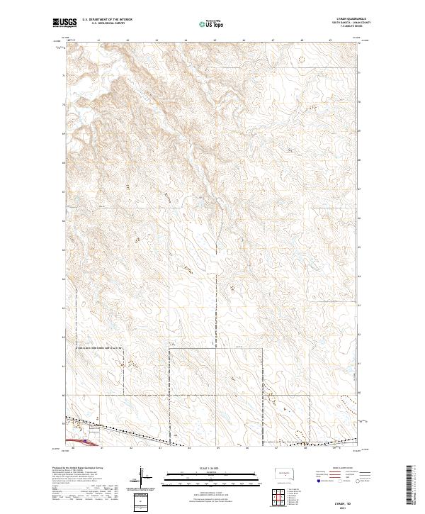
2021 Lyman
Lyman County, SD
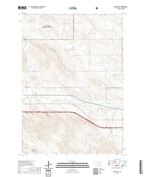
2021 Presho NW
Lyman County, SD
2021 Presho SE
Lyman County, SD
2021 Presho SW
Lyman County, SD
2021 Reliance SE
Lyman County, SD
2021 Reliance SW
Lyman County, SD
2021 Short Creek
Lyman County, SD
2021 South of Pierre
Lyman County, SD
2021 Stony Butte
Lyman County, SD
2021 Vivian SE
Lyman County, SD