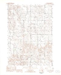
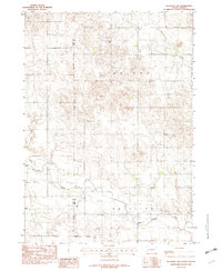
1982 Map of Witten SW
USGS Topo · Published 1982About this map
The Rosebud Indian Reservation Todd Co Tripp Co Boundary runs vertically through this landscape, marking the intersection of indigenous lands and South Dakota county divisions. Recorded as a provisional study in the early 1980s, the map reveals a sparsely settled terrain organized into civil townships including Carter, Taylor, and Wright. The hydrology of the region is defined by intermittent drainage systems such as De Bell Creek, West Cottonwood Creek, and Willow Cr in the south, which carve through the high plains. Human activity is largely limited to a network of unimproved roads and light industrial sites like the Gravel Pits found near the center of the sheet. Notable landforms such as Star Prairie and Jordan further characterize this high-elevation prairie environment.
Find a feature on this map
11 named features on this map. Tap any name to fly to it.
Don’t see what you’re looking for? This feature index may not catch every label — zoom into the map to look around manually.
Map Details
Editions of this 1982 Witten SW Map
This is the sole edition of this map. No revisions or reprints were ever made.
Other maps of this area

1955 · Martin
USGS Topo · 1:250,000

1958 · Martin
USGS Topo · 1:250,000
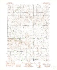
1982 · Witten SE
USGS Topo · 1:25,000

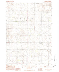
1982 · Witten
USGS Topo · 1:25,000
1982 · Clearfield
USGS Topo · 1:24,000
1982 · Okreek SE
USGS Topo · 1:24,000
1982 · Keyapaha NW
USGS Topo · 1:24,000

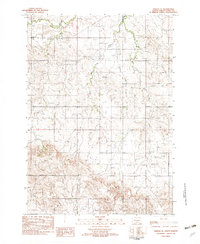
1982 · Carter
USGS Topo · 1:25,000

1982 · Mosher
USGS Topo · 1:25,000
1982 · Hidden Timber NE
USGS Topo · 1:24,000