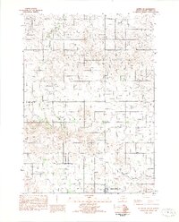
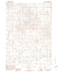
1982 Map of Witten SE
USGS Topo · Published 1982About this map
Star Prairie and Rosedale define the rural character of this Tripp County landscape in the early 1980s. The terrain is marked by distinctive geological features such as Blow Outs and a natural hollow, illustrating the wind-scoured nature of the South Dakota plains. Water resources are central to the area's geography, with Dog Ear Creek and the bifurcated West Cottonwood Creek and East Cottonwood Creek cutting through the prairie townships.
Find a feature on this map
17 named features on this map. Tap any name to fly to it.
Don’t see what you’re looking for? This feature index may not catch every label — zoom into the map to look around manually.
Map Details
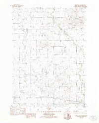
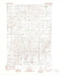
Editions of this 1982 Witten SE Map
This is the sole edition of this map. No revisions or reprints were ever made.
Other maps of this area

1955 · Martin
USGS Topo · 1:250,000

1955 · Mitchell
USGS Topo · 1:250,000

1958 · Martin
USGS Topo · 1:250,000

1959 · Mitchell
USGS Topo · 1:250,000

1982 · Witten
USGS Topo · 1:25,000
1982 · Miller Hill
USGS Topo · 1:25,000
1982 · Witten SW
USGS Topo · 1:25,000
1982 · Clearfield
USGS Topo · 1:24,000
1982 · Keyapaha NW
USGS Topo · 1:24,000
1982 · Dog Ear Buttes
USGS Topo · 1:25,000