1982 Map of Miller Hill
USGS Topo · Published 1982About this map
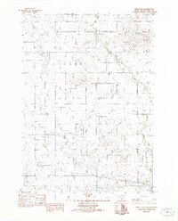
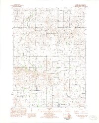
Miller Hill rises above the rural prairie of Tripp County in this 1982 provisional survey, which captures the intersection of traditional land use and mid-century modern infrastructure. The landscape is defined by the winding paths of Owl Creek and Dog Ear Creek, alongside a clear Old RR Grade that traces the historical path of transport through the region. Of particular interest to local historians are the specialized markers of the late twentieth century, including the KWYR Radio Tower, a Drive-In Theater, and the Brown Landing Strip. These features reflect a period of development where aviation and telecommunications were integrated into the agrarian grid of South Dakota.
Find a feature on this map
15 named features on this map. Tap any name to fly to it.
Don’t see what you’re looking for? This feature index may not catch every label — zoom into the map to look around manually.
Map Details
Editions of this 1982 Miller Hill Map
This is the sole edition of this map. No revisions or reprints were ever made.
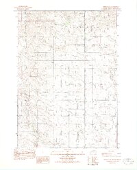
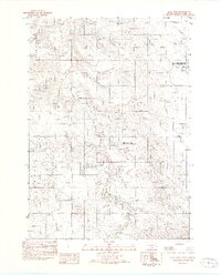
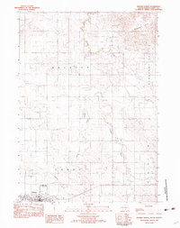
Other maps of this area

1955 · Martin
USGS Topo · 1:250,000

1955 · Mitchell
USGS Topo · 1:250,000

1958 · Martin
USGS Topo · 1:250,000

1959 · Mitchell
USGS Topo · 1:250,000
1982 · Presho 4 SE
USGS Topo · 1:25,000
1982 · King Dam
USGS Topo · 1:25,000
1982 · Winner North
USGS Topo · 1:25,000
1982 · Witten SE
USGS Topo · 1:25,000

1982 · Witten
USGS Topo · 1:25,000
1982 · Winner South
USGS Topo · 1:25,000