2010s Maps of Union County, South Dakota
Explore 68 historic maps of Union County from the 2010s. These maps offer a rare glimpse into what life looked like during the 2010s — showing old roads, neighborhoods, homes, and landmarks that have changed or disappeared over time.
Whether you're researching your family's past, planning a metal detecting trip, or studying how Union County's landscape evolved across the 2010s, these high-resolution maps are a powerful tool for exploring the history of this region.
- Focus on a specific era: All maps on this page are from the 2010s, giving you a focused view of this time period.
- See what’s changed: Compare century-old streets, trails, and buildings to today's modern landscape using overlays and satellite layers.
- Research with precision: Use these maps for genealogy, historical research, land use analysis, or educational projects.
- View, download, or print: Maps are fully viewable online in high resolution, and can be downloaded or printed for your own records.
Start exploring Union County's history through authentic maps from the 2010s. This is your window into the past.
Union County, SD maps
(68)- 2010 Map of Sioux City North, 2010 Print
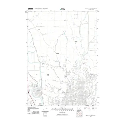 2010 Sioux City North2010 Print · USGSThe borderlands of Iowa and South Dakota come into focus during this period of suburban growth and academic expansion. Researchers can trace the development of North Sioux City and locate local landmarks like Briar Cliff University and the Logan Park Cemetery.
 - 2010 Map of Alcester SE, 2010 Print
 2010 Alcester SE2010 Print · USGSUnion County farmland at the turn of the 21st century remains defined by its quiet section-line roads and the winding Big Sioux River. Researchers can trace local family history through several rural burial grounds, including Nathanael Cemetery and Pleasant Hill Cemetery.
 - 2010 Map of Chatsworth, 2010 Print
 2010 Chatsworth2010 Print · USGSThe Big Sioux River valley comes into sharp focus at the Iowa-South Dakota border in the early 2000s. Genealogists can locate family sites near Old Big Springs Cemetery and Mount Hope Cemetery, or trace the rural landscape surrounding Chatsworth and Big Springs.
 - 2010 Map of Akron, 2010 Print
 2010 Akron2010 Print · USGSThe river border between Iowa and South Dakota comes into focus in this early 21st-century survey of the Big Sioux River valley. Researchers can trace local heritage through sites like Riverside Cemetery, the Akron Post Office, and the settlement of Westfield.
 - 2010 Map of Hawarden North, 2010 Print
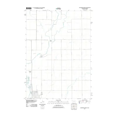 2010 Hawarden North2010 Print · USGSSioux County farming and river life are preserved here at the opening of the millennium. Genealogists and researchers can trace the vicinity of Calliope Village and local burial sites like Calvary Cemetery and Grace Hill Cemetery.
 - 2010 Map of Elk Point NE, 2010 Print
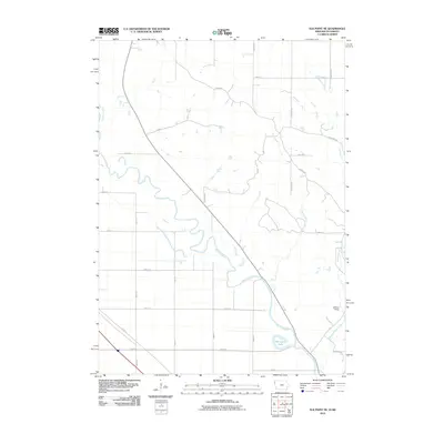 2010 Elk Point NE2010 Print · USGSThe Big Sioux River valley at the Iowa-South Dakota border comes into focus in this modern era survey. Trace the local landscape from the settlement of Broken Kettle to the oxbow waters of Horseshoe Lake and the winding course of Rock Creek.
 - 2011 Map of Ponca, 2011 Print
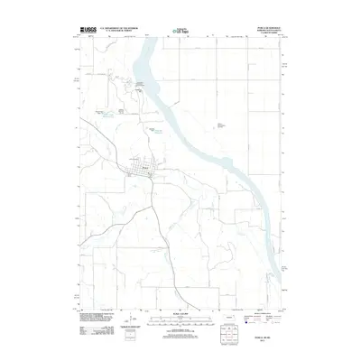 2011 Ponca2011 Print · USGSPonca and the bluffs of the Missouri River valley are captured here in the early twenty-first century. Researchers can locate civic landmarks like the Post Office, trace the grounds of Ponca State Park, and find the Cemetery.
 - 2011 Map of Jackson, 2011 Print
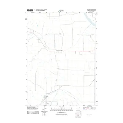 2011 Jackson2011 Print · USGSThe Missouri River borderlands near the Nebraska-South Dakota line are shown here in the early 2000s. Genealogists and local historians can trace the foundations of Jackson and Hubbard, including Saint Johns Cemetery and the Hubbard Post Office.
 - 2011 Map of Hawarden South, 2011 Print
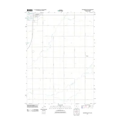 2011 Hawarden South2011 Print · USGSSioux County's agricultural heartland and the western border along the Big Sioux River are captured here in the early twenty-first century. Researchers can trace the rural layout surrounding Hawarden and find the small settlement of McNally near Sixmile Creek.
 - 2011 Map of Jefferson, 2011 Print
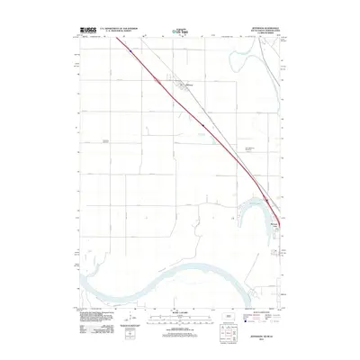 2011 Jefferson2011 Print · USGSSoutheastern South Dakota’s riverfront comes into focus at the start of the decade, where the Missouri and Big Sioux rivers frame the community of Jefferson. Researchers can trace local landmarks like Civil Bend Cemetery, McCook Lake, and the Park Jefferson Racetrack.
 - 2011 Map of Richland, 2011 Print
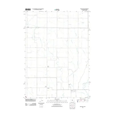 2011 Richland2011 Print · USGSUnion County's rural townships are captured here in the early twenty-first century as the landscape transitions toward the Big Sioux River. Researchers can locate numerous historical burial sites, including the Old Brule Creek Cemetery and Saint Paul Cemetery, near the settlements of Richland and Spink.
 - 2011 Map of Elk Point, 2011 Print
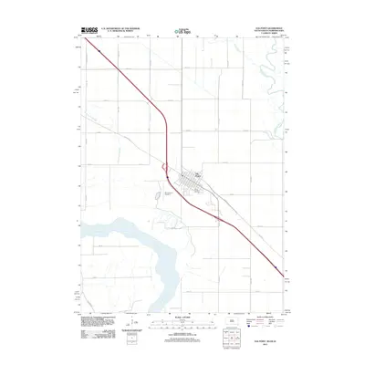 2011 Elk Point2011 Print · USGSThe confluence of the Missouri and Big Sioux Rivers defines this part of Union County during the early twenty-first century. Genealogists and local historians can trace land use around Elk Point, Saint Joseph Cemetery, and the riverfront along 885 Rd.
 - 2012 Map of Sioux City South, 2012 Print
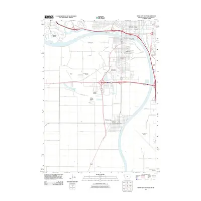 2012 Sioux City South2012 Print · USGSThe Missouri River tri-state area comes into focus in the early 2010s as it winds past the developing waterfronts of Iowa and Nebraska. Researchers can trace local landmarks like Floyds Bluff, the grounds of Saint Michaels Cemetery, and the expansive Sioux Gateway Airport.
 - 2012 Map of Vermillion SE, 2012 Print
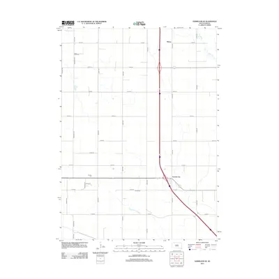 2012 Vermillion SE2012 Print · USGSClay County at the start of the 2010s shows a landscape of precise agricultural sections and evolving highway infrastructure. Researchers can locate family-named landmarks and local burial sites like Saint Peters Cem, Dowlin Cem, and the settlement at Junction City.
 - 2012 Map of Jefferson, 2012 Print
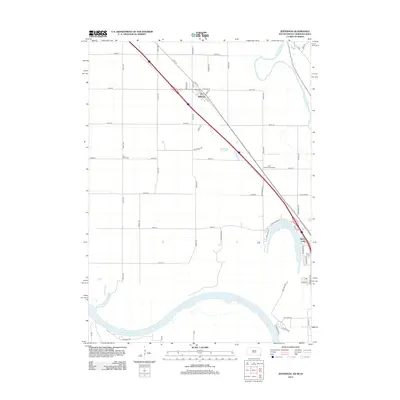 2012 Jefferson2012 Print · USGSSoutheastern South Dakota near the Iowa and Nebraska borders is captured here in the early twenty-first century. Genealogists and local researchers can trace the vicinity of the Civil Bend Cem and the development around Jefferson and McCook Lake.
 - 2012 Map of Alsen, 2012 Print
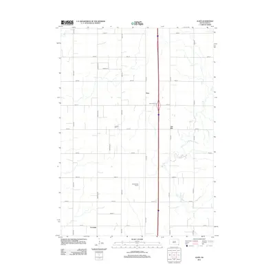 2012 Alsen2012 Print · USGSSpink Township in the early twenty-first century remains a quintessential prairie landscape shaped by its grid of section roads and small settlements. Researchers can locate Rockfield Cem and Howard Field Airport or trace the winding path of Brule Cr.
 - 2012 Map of Nora, 2012 Print
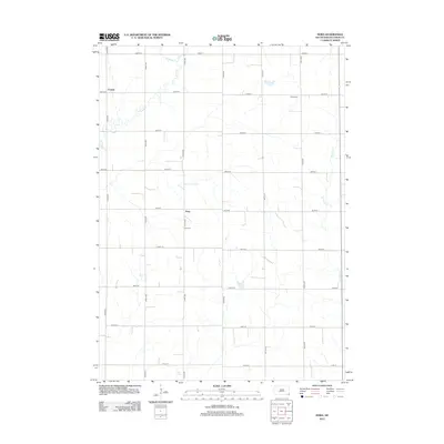 2012 Nora2012 Print · USGSSoutheastern South Dakota’s agricultural heartland is captured here in the early twenty-first century, showing a landscape defined by section line roads and small creek drainages. Genealogists can locate family landmarks such as Nora Cem and Peace Cem near the settlements of Nora and Emmet.
 - 2012 Map of Elk Point, 2012 Print
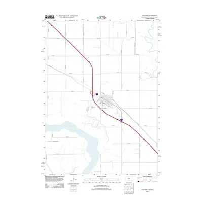 2012 Elk Point2012 Print · USGSElk Point and the Missouri River corridor are captured here in the early twenty-first century, showcasing the tri-state border's rural development. Researchers can locate local landmarks like Saint Joseph Cem, the PO, and the riverside Ponca State Park.
 - 2012 Map of Alcester SE, 2012 Print
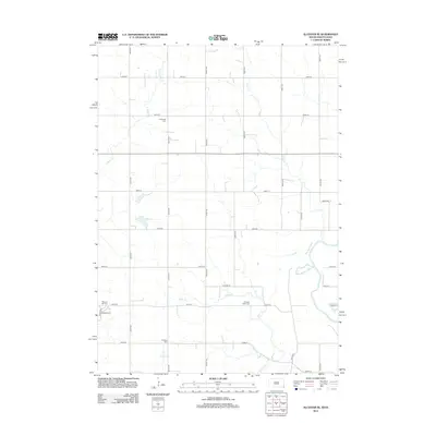 2012 Alcester SE2012 Print · USGSUnion County and the Big Sioux River border are documented here in the early 2010s. Genealogists and local historians can locate several rural burial grounds, including Pleasant Hill Cem, Pleasant Valley Cem, and Nathanael Cem.
 - 2012 Map of Alcester, 2012 Print
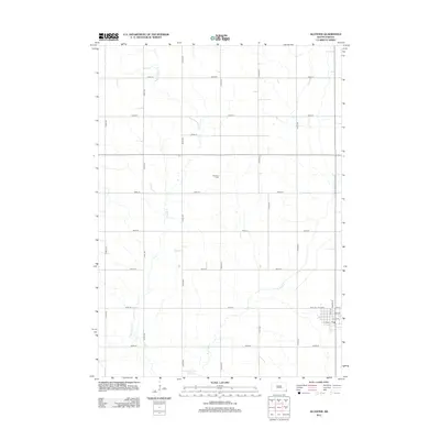 2012 Alcester2012 Print · USGSAlcester and the surrounding Union County farmland are captured here in the early twenty-first century. Researchers can locate the Gothland Cemetery or trace the town's street grid near the Post Office along Dakota St.
 - 2012 Map of Beresford, 2012 Print
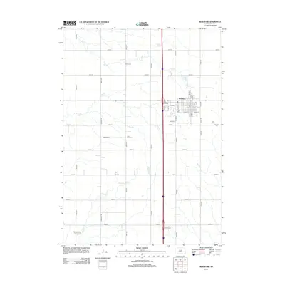 2012 Beresford2012 Print · USGSBeresford and the surrounding prairie lands appear here in the early twenty-first century, organized by a rigid grid of section-line roads. Genealogists can locate several burial grounds including Saint Johns Cem, Bonine Cem, and the Danefield Seventh Day Advent Cem.
 - 2012 Map of Burbank, 2012 Print
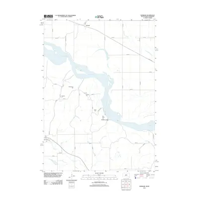 2012 Burbank2012 Print · USGSThe Missouri River borderlands near the South Dakota and Nebraska line appear in this 2012 survey. Genealogists and local historians can locate Ionia Cem and trace the terrain across family-named landmarks like Pumpkin Hill, Lembke Landing, and Rattlesnake Hill.
 - 2012 Map of Richland, 2012 Print
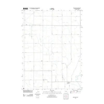 2012 Richland2012 Print · USGSUnion County farmland is captured here in the early 2000s, showing the intersection of rural life and the winding Brule Cr. Genealogists can locate several historic burial sites like Old Brule Creek Cem and Union County Cem among the section lines near Richland.
 - 2013 Map of Hawarden North, 2013 Print
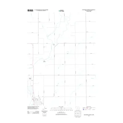 2013 Hawarden North2013 Print · USGSThe river borderlands of Iowa and South Dakota are shown here in the early twenty-first century, centered on the historic Calliope Village area. Researchers can trace the winding Big Sioux River and locate local landmarks such as Oak Grove Park Campground and the Hawarden Municipal Airport.
 - 2013 Map of Chatsworth, 2013 Print
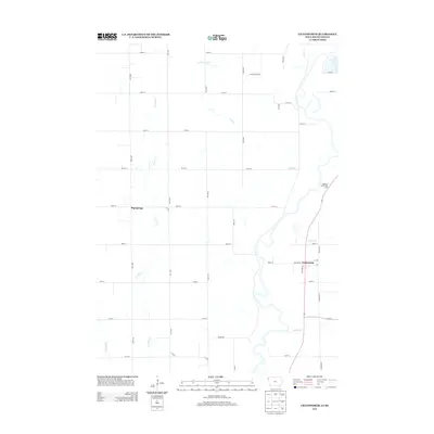 2013 Chatsworth2013 Print · USGSThe borderlands of Iowa and South Dakota come into focus in the early twenty-first century, showing a landscape of precise agricultural grids and meandering creeks. Researchers can trace the layout of Chatsworth and Big Springs or locate local landmarks like School House Rd.
Showing maps 1-25 of 68
Frequently asked questions
- What are the different types of historical maps available for Union County?
- What is the oldest map of Union County?
- Where can I purchase historical maps of Union County for my home or office?
- Where can I download high-res historical maps of Union County?
- Are there historical topographic maps available for Union County?
- Is there historical aerial imagery available for Union County?
- Where are historical maps of Union County sourced from?