2000s (21st Century) Maps of Virginia Township, South Dakota
Explore 20 historic maps of Virginia Township from the 2000s (21st Century). These maps offer a rare glimpse into what life looked like during the 2000s — showing old roads, neighborhoods, homes, and landmarks that have changed or disappeared over time.
Whether you're researching your family's past, planning a metal detecting trip, or studying how Virginia Township's landscape evolved across the 2000s, these high-resolution maps are a powerful tool for exploring the history of this region.
- Focus on a specific era: All maps on this page are from the 2000s, giving you a focused view of this time period.
- See what’s changed: Compare century-old streets, trails, and buildings to today's modern landscape using overlays and satellite layers.
- Research with precision: Use these maps for genealogy, historical research, land use analysis, or educational projects.
- View, download, or print: Maps are fully viewable online in high resolution, and can be downloaded or printed for your own records.
Start exploring Virginia Township's history through authentic maps from the 2000s. This is your window into the past.
Virginia Township, SD maps
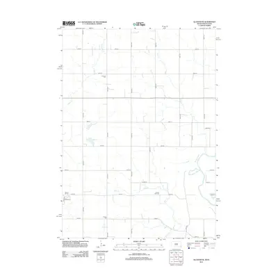
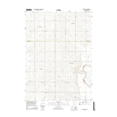
(20)- 2010 Map of Alcester SE, 2010 Print
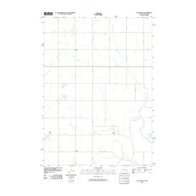 2010 Alcester SE2010 Print · USGSCovers Virginia Township, including Alcester, Eden Township, and other nearby areas
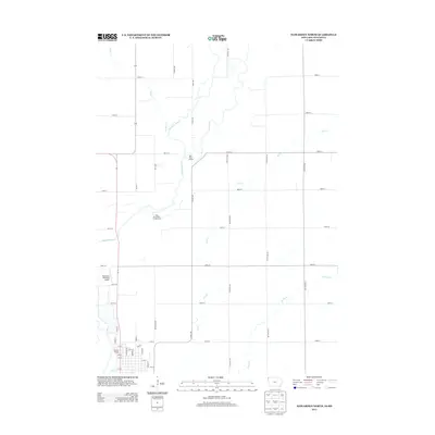
 - 2010 Map of Chatsworth, 2010 Print
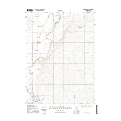
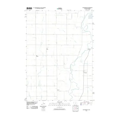 2010 Chatsworth2010 Print · USGSCovers Virginia Township, including Hawarden, Big Springs, and other nearby areas
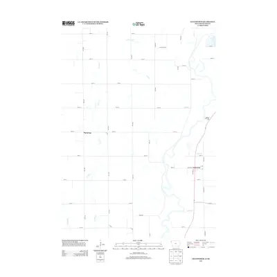
 - 2010 Map of Hawarden North, 2010 Print
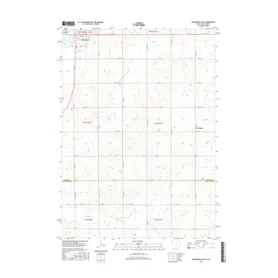
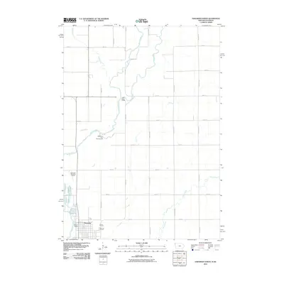 2010 Hawarden North2010 Print · USGSCovers Virginia Township, including Hawarden, Eden Township, and other nearby areas
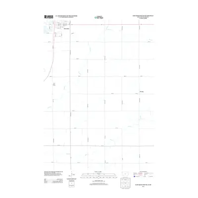
 - 2011 Map of Hawarden South, 2011 Print
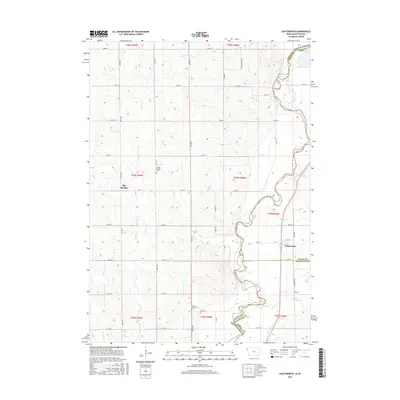
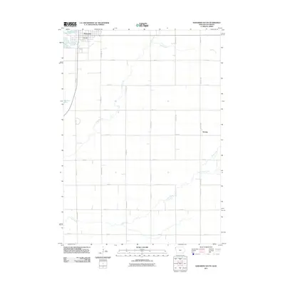 2011 Hawarden South2011 Print · USGSCovers Virginia Township, including Hawarden, McNally, and other nearby areas
 - 2012 Map of Alcester SE, 2012 Print
 2012 Alcester SE2012 Print · USGSCovers Virginia Township, including Alcester, Eden Township, and other nearby areas
 - 2013 Map of Hawarden North, 2013 Print
 2013 Hawarden North2013 Print · USGSCovers Virginia Township, including Hawarden, Eden Township, and other nearby areas
 - 2013 Map of Chatsworth, 2013 Print
 2013 Chatsworth2013 Print · USGSCovers Virginia Township, including Hawarden, Big Springs, and other nearby areas
 - 2013 Map of Hawarden South, 2013 Print
 2013 Hawarden South2013 Print · USGSCovers Virginia Township, including Hawarden, McNally, and other nearby areas
 - 2015 Map of Alcester SE, 2015 Print
 2015 Alcester SE2015 Print · USGSCovers Virginia Township, including Alcester, Eden Township, and other nearby areas
 - 2015 Map of Hawarden South, 2015 Print
 2015 Hawarden South2015 Print · USGSCovers Virginia Township, including Hawarden, McNally, and other nearby areas
 - 2015 Map of Hawarden North, 2015 Print
 2015 Hawarden North2015 Print · USGSCovers Virginia Township, including Hawarden, Eden Township, and other nearby areas
 - 2015 Map of Chatsworth, 2015 Print
 2015 Chatsworth2015 Print · USGSCovers Virginia Township, including Hawarden, Big Springs, and other nearby areas
 - 2017 Map of Alcester SE, 2017 Print
 2017 Alcester SE2017 Print · USGSCovers Virginia Township, including Alcester, Eden Township, and other nearby areas
 - 2018 Map of Hawarden South, 2018 Print
 2018 Hawarden South2018 Print · USGSCovers Virginia Township, including Hawarden, McNally, and other nearby areas
 - 2018 Map of Chatsworth, 2018 Print
 2018 Chatsworth2018 Print · USGSCovers Virginia Township, including Hawarden, Big Springs, and other nearby areas
 - 2018 Map of Hawarden North, 2018 Print
 2018 Hawarden North2018 Print · USGSCovers Virginia Township, including Hawarden, Eden Township, and other nearby areas
 - 2021 Map of Alcester SE, 2021 Print
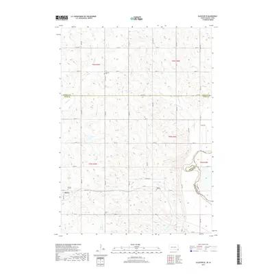
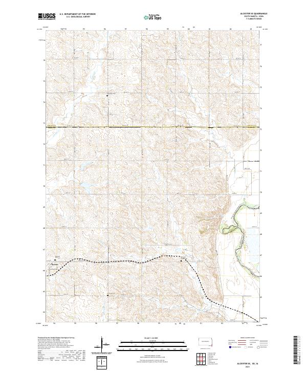 2021 Alcester SE2021 Print · USGSUnion County, South Dakota, is captured here in the early twenty-first century, showing the rural landscape around Alcester. Genealogists can locate family sites at Nathanael Cem and Pleasant Valley Cem, or trace the Jay-Heath Canoe & Kayak Trl along the Big Sioux River.
 - 2022 Map of Hawarden North, 2022 Print
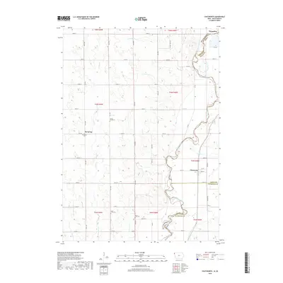
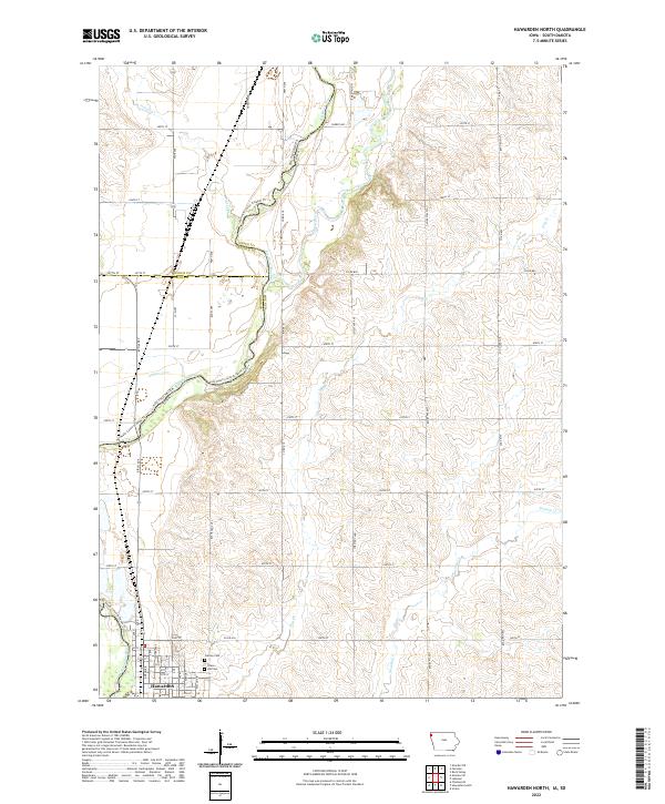 2022 Hawarden North2022 Print · USGSThe river valley north of Hawarden comes into focus in this recent survey of the Iowa and South Dakota borderlands. Genealogists and historians can trace the town's northern expansion near Grace Hill Cem or follow the Jay Heath Canoe & Kayak Trl along the Big Sioux River.
 - 2022 Map of Chatsworth, 2022 Print
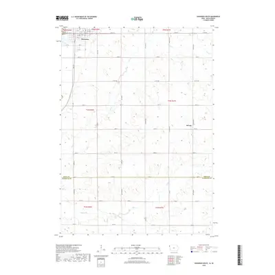
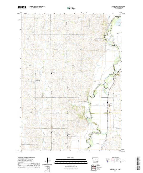 2022 Chatsworth2022 Print · USGSThe Big Sioux River valley comes alive on this contemporary survey of the Iowa and South Dakota borderlands. Family historians can locate several burial sites like Old Big Springs Cem and trace the winding Jay Heath Canoe & Kayak Trl past Chatsworth.
 - 2022 Map of Hawarden South, 2022 Print
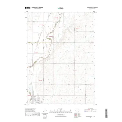
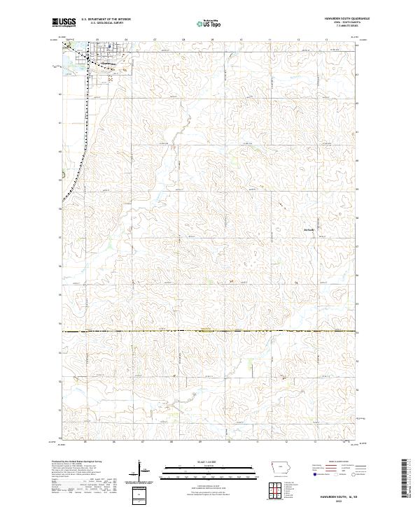 2022 Hawarden South2022 Print · USGSThe agricultural heartland along the Sioux and Plymouth county line is captured here in the early 2020s. Researchers can trace the modern rural landscape from the streets of Hawarden to the settlement of McNally and follow the paths of Sixmile Cr and Indian Cr.
End of results
Showing maps 1-20 of 20
Top cities near Virginia Township
- Rock Valley historical maps
- Hawarden historical maps
- Akron historical maps
- Alcester historical maps
- Ireton historical maps
- Hudson historical maps
See more
Frequently asked questions
- What are the different types of historical maps available for Virginia Township?
- What is the oldest map of Virginia Township?
- Where can I purchase historical maps of Virginia Township for my home or office?
- Where can I download high-res historical maps of Virginia Township?
- Are there historical topographic maps available for Virginia Township?
- Is there historical aerial imagery available for Virginia Township?
- Where are historical maps of Virginia Township sourced from?