Old Maps of Sitka, South Dakota for Genealogy
Trace your family roots with 8 historic maps of Sitka. These high-res maps reveal old neighborhoods, homesites, landmarks, and streets — helping you uncover where your ancestors lived and how the area evolved over time.
- Explore historic neighborhoods: Identify where your relatives may have lived in the 1800s or 1900s.
- Compare maps over time: Trace the changes in streets, buildings, and landmarks for multi-generational research.
- Perfect for genealogy & ancestry research: Used by family historians and researchers to map out lineage and migration.
These maps are an incredible resource for exploring your personal connection to Sitka's past.
Sitka, SD maps
(8)- 1953 Map of McIntosh, 1965 Print
 1953 McIntosh1965 Print · USGSThe north-central Dakota prairie is captured here during the mid-fifties, showing the vast Standing Rock Indian Reservation and the newly formed Oah E Reservoir. Genealogists and historians can trace the Chicago Milwaukee St Paul and Pacific rail line through stops like McIntosh, Walker, and Eagle Butte.3 unique versions available
 - 1958 Map of McIntosh
 1958 McIntosh1958 Print · USGSThe north-central Dakotas appear here in the mid-1950s as massive engineering projects and rail lines shaped the plains. Researchers can trace tribal lands within the Standing Rock Indian Reservation and locate local landmarks like the Keller Mine or the Virginia Siding.
 - 1967 Map of Selby SW, 1969 Print
 1967 Selby SW1969 Print · USGSWalworth County and Campbell County are captured here in the late sixties as a landscape of rail-served prairie settlements and isolated schoolhouses. Researchers can trace the path of the Chicago Milwaukee St Paul and Pacific through Sitka or locate the Lund Sch and Lindbergh Sch.
 - 1985 Map of Mobridge
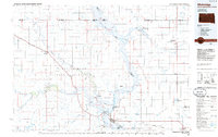 1985 Mobridge1985 Print · USGSCrossing the Missouri River in the mid-1980s, this landscape reveals the intersection of the Standing Rock Indian Reservation and the rising waters of Lake Oahe. Researchers can locate significant historical markers such as Sitting Bulls Grave, St Elizabeth Mission Home, and the Leavenworth Monument.2 unique versions available
 - 2012 Map of Selby SW, 2012 Print
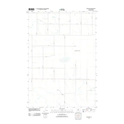 2012 Selby SW2012 Print · USGSWalworth County farmland near the turn of the decade preserves its quiet rural structure. Genealogists and historians can trace the local landscape around Sitka and the distinctive drainage of the Blue Blanket Lakebed.
 - 2015 Map of Selby SW, 2015 Print
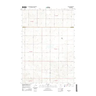 2015 Selby SW2015 Print · USGSThe rural expanse of Walworth County is documented here during the mid-2010s, centered on the small settlement of Sitka. Researchers can trace section lines and local roads like CR-323 while examining the distinctive Blue Blanket Lakebed.
 - 2017 Map of Selby SW, 2017 Print
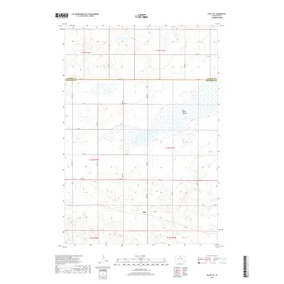 2017 Selby SW2017 Print · USGSThe rural landscape near the Campbell and Walworth county line comes into focus in this late 2010s survey. Researchers can trace the layout of Sitka and the expansive Blue Blanket Lakebed along a grid of local routes like 128th St.
 - 2021 Map of Selby SW, 2021 Print
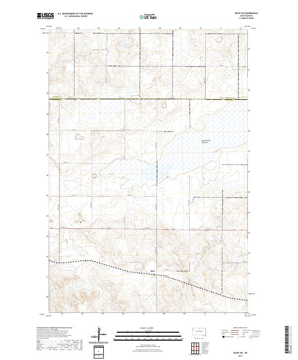 2021 Selby SW2021 Print · USGSThe rural expanse of the South Dakota prairie is captured here in the early 2020s, showing the intersection of Campbell and Walworth counties. Genealogists and researchers can trace the vicinity of Sitka or explore the geography of the massive Blue Blanket Lakebed and its surrounding road grid.
End of results
Showing maps 1-8 of 8
Top cities near Sitka
- Mobridge historical maps
- Selby historical maps
- Wakpala historical maps
- Glenham historical maps
- Mound City historical maps
- Akaska historical maps
See more
Frequently asked questions
- What are the different types of historical maps available for Sitka?
- What is the oldest map of Sitka?
- Where can I purchase historical maps of Sitka for my home or office?
- Where can I download high-res historical maps of Sitka?
- Are there historical topographic maps available for Sitka?
- Is there historical aerial imagery available for Sitka?
- Where are historical maps of Sitka sourced from?