2000s (21st Century) Maps of Mission Hill South Township, South Dakota
Explore 16 historic maps of Mission Hill South Township from the 2000s (21st Century). These maps offer a rare glimpse into what life looked like during the 2000s — showing old roads, neighborhoods, homes, and landmarks that have changed or disappeared over time.
Whether you're researching your family's past, planning a metal detecting trip, or studying how Mission Hill South Township's landscape evolved across the 2000s, these high-resolution maps are a powerful tool for exploring the history of this region.
- Focus on a specific era: All maps on this page are from the 2000s, giving you a focused view of this time period.
- See what’s changed: Compare century-old streets, trails, and buildings to today's modern landscape using overlays and satellite layers.
- Research with precision: Use these maps for genealogy, historical research, land use analysis, or educational projects.
- View, download, or print: Maps are fully viewable online in high resolution, and can be downloaded or printed for your own records.
Start exploring Mission Hill South Township's history through authentic maps from the 2000s. This is your window into the past.
Mission Hill South Township, SD maps
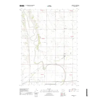
(16)- 2011 Map of Menominee, 2011 Print
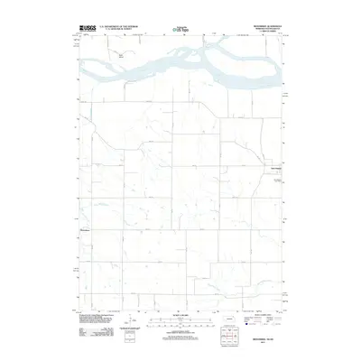 2011 Menominee2011 Print · USGSCovers Mission Hill South Township, including Yankton, Precinct 4, and other nearby areas
 - 2012 Map of Yankton, 2012 Print
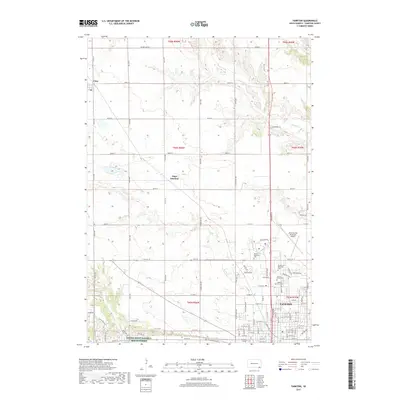
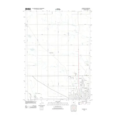 2012 Yankton2012 Print · USGSCovers Mission Hill South Township, including Yankton, Utica, and other nearby areas
 - 2012 Map of Mission Hill, 2012 Print
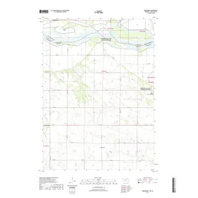
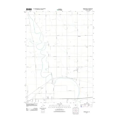 2012 Mission Hill2012 Print · USGSCovers Mission Hill South Township, including Yankton, Mission Hill, and other nearby areas
 - 2012 Map of Gavins Point Dam, 2012 Print
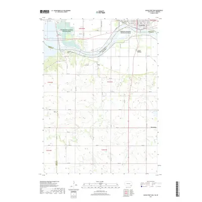
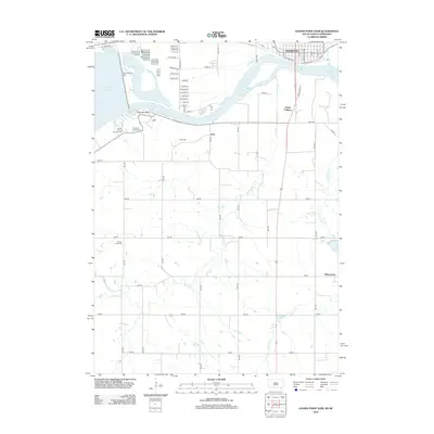 2012 Gavins Point Dam2012 Print · USGSCovers Mission Hill South Township, including Yankton, Utica South Township, and other nearby areas
 - 2014 Map of Menominee, 2014 Print
 2014 Menominee2014 Print · USGSCovers Mission Hill South Township, including Yankton, Precinct 4, and other nearby areas
 - 2015 Map of Yankton, 2015 Print
 2015 Yankton2015 Print · USGSCovers Mission Hill South Township, including Yankton, Utica, and other nearby areas
 - 2015 Map of Mission Hill, 2015 Print
 2015 Mission Hill2015 Print · USGSCovers Mission Hill South Township, including Yankton, Mission Hill, and other nearby areas
 - 2015 Map of Gavins Point Dam, 2015 Print
 2015 Gavins Point Dam2015 Print · USGSCovers Mission Hill South Township, including Yankton, Utica South Township, and other nearby areas
 - 2017 Map of Menominee, 2017 Print
 2017 Menominee2017 Print · USGSCovers Mission Hill South Township, including Yankton, Precinct 4, and other nearby areas
 - 2017 Map of Yankton, 2017 Print
 2017 Yankton2017 Print · USGSCovers Mission Hill South Township, including Yankton, Utica, and other nearby areas
 - 2017 Map of Gavins Point Dam, 2017 Print
 2017 Gavins Point Dam2017 Print · USGSCovers Mission Hill South Township, including Yankton, Utica South Township, and other nearby areas
 - 2017 Map of Mission Hill, 2017 Print
 2017 Mission Hill2017 Print · USGSCovers Mission Hill South Township, including Yankton, Mission Hill, and other nearby areas
 - 2021 Map of Yankton, 2021 Print
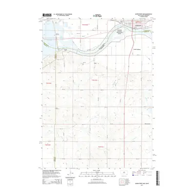
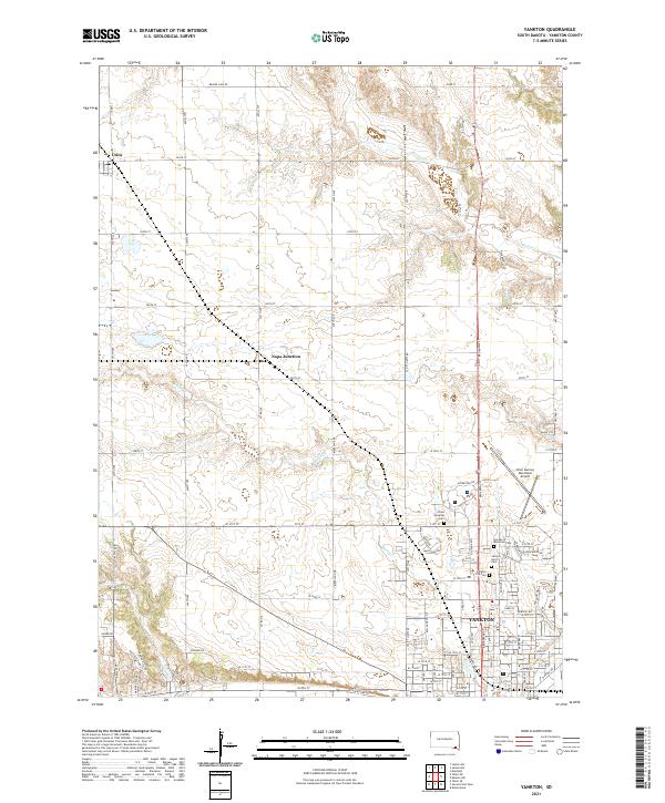 2021 Yankton2021 Print · USGSYankton is captured here during its modern development, showcasing the organized expansion of the city and its outlying rural townships. Researchers can pinpoint specific burial sites at Sacred Heart Cem or trace the early settlement footprints of Utica and Napa Junction.
 - 2021 Map of Menominee, 2021 Print
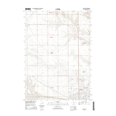
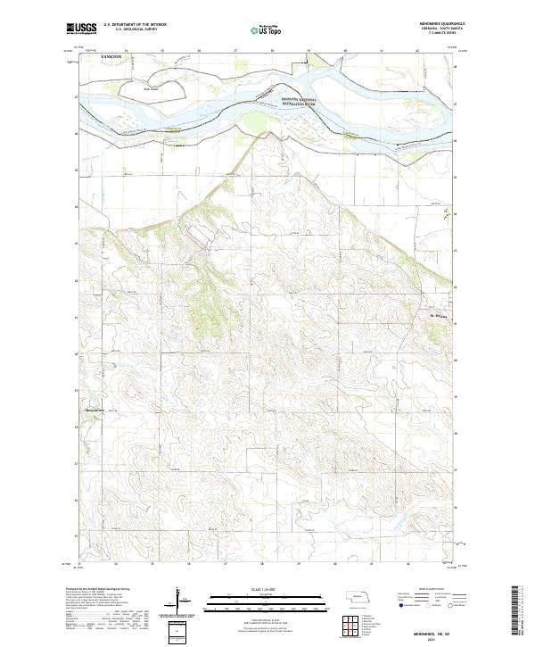 2021 Menominee2021 Print · USGSCedar County and the Missouri River border appear in this 2021 study of the Nebraska-South Dakota line. Trace the rural settlements of St. Helena and Menominee or explore the river corridor near Rush Island and the James River.
 - 2021 Map of Mission Hill, 2021 Print
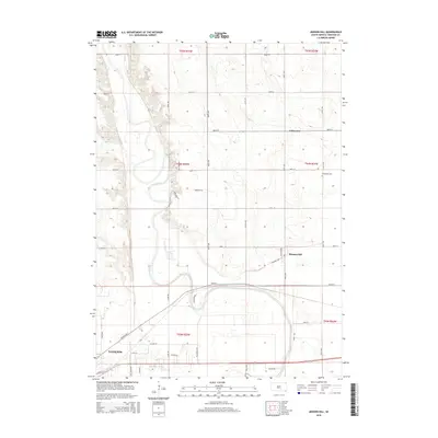
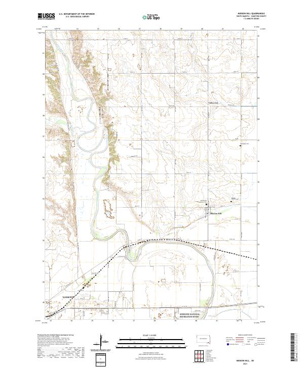 2021 Mission Hill2021 Print · USGSMission Hill and the lower James River valley appear in this contemporary survey of southeastern South Dakota. Genealogists can locate family landmarks at Vangen Church Cem or Mission Hill Congregational Cem and trace the winding course of Beaver Cr.
 - 2021 Map of Gavins Point Dam, 2021 Print
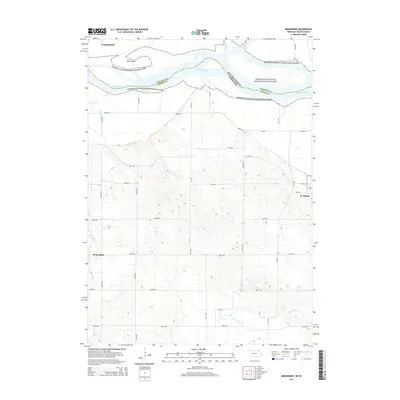
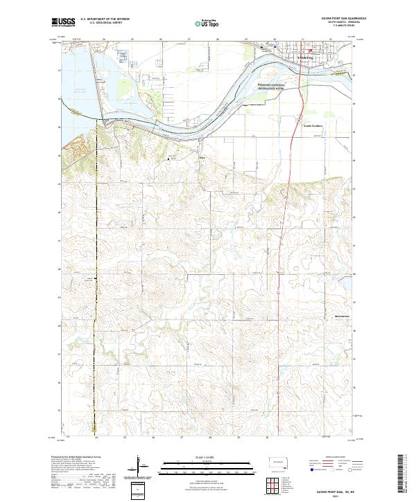 2021 Gavins Point Dam2021 Print · USGSThe Missouri River borderlands near Yankton come into sharp focus in this 2021 study of the South Dakota and Nebraska line. Researchers can trace the civic layout of Yankton or locate rural sites like Aten Cem and the Beaver Creek Cem.
End of results
Showing maps 1-16 of 16
Top cities near Mission Hill South Township
- Yankton historical maps
- Crofton historical maps
- Gayville historical maps
- Mayfield historical maps
- Volin historical maps
- Irene historical maps
See more
Frequently asked questions
- What are the different types of historical maps available for Mission Hill South Township?
- What is the oldest map of Mission Hill South Township?
- Where can I purchase historical maps of Mission Hill South Township for my home or office?
- Where can I download high-res historical maps of Mission Hill South Township?
- Are there historical topographic maps available for Mission Hill South Township?
- Is there historical aerial imagery available for Mission Hill South Township?
- Where are historical maps of Mission Hill South Township sourced from?