Old Maps of Red Scaffold, District 2 for Academic Research
Study the evolution of Red Scaffold with 8 high-resolution historic maps. Whether you're teaching, researching, or modeling changes in land use, these maps provide essential visual documentation of urban, environmental, and geographic change.
- Analyze long-term change: Track patterns in development, transportation, and natural features.
- Ideal for environmental or urban studies: Support academic projects with primary historical map data.
- Use in the classroom or lab: Educators and researchers rely on these maps to bring historical context to life.
These maps are a powerful tool for teaching, research, and visualizing how Red Scaffold has changed over the decades.
Red Scaffold, District 2 maps
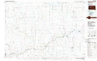
(8)- 1954 Map of Pierre, 1968 Print
 1954 Pierre1968 Print · USGSThe Missouri River and the newly formed Oahe Reservoir define central South Dakota in the 1950s. Genealogists and local historians can trace early settlements and rail stops like Eakin Siding, Mission Ridge, and Ottumwa.2 unique versions available
 - 1958 Map of Pierre
 1958 Pierre1958 Print · USGSCentral South Dakota is documented during the mid-fifties, just as the Missouri River valley was being transformed by the massive Oahe Dam project. Researchers can trace the early Oahe Reservoir shoreline and find remote outposts like Milesville, Onida, and Giddings Flat.
 - 1982 Map of Red Scaffold, 1983 Print
 1982 Red Scaffold1983 Print · USGSThe rural landscape of Ziebach County is documented here in the mid-1970s, within the Cheyenne River Indian Reservation. Researchers can locate ranching landmarks like Red Coat Ranch, the site of White Swan Sch, and a solitary Grave near the creek.
 - 1986 Map of Cherry Creek
 1986 Cherry Creek1986 Print · USGSWest-central South Dakota comes to life in the mid-1980s, centered on the Cheyenne River Indian Reservation and the river's winding path. Genealogists and historians can trace the remote settlements of Red Scaffold and Milesville or locate family landmarks like Staple M Cliffs and Robbs Flat.2 unique versions available
 - 2012 Map of Red Scaffold, 2012 Print
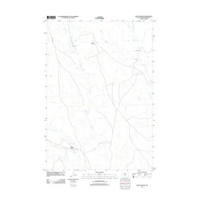 2012 Red Scaffold2012 Print · USGSCovers Red Scaffold, including District 2, Ziebach County, and other nearby areas
 - 2015 Map of Red Scaffold, 2015 Print
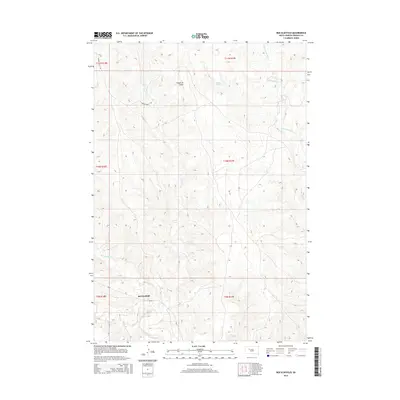 2015 Red Scaffold2015 Print · USGSCovers Red Scaffold, including District 2, Ziebach County, and other nearby areas
 - 2017 Map of Red Scaffold, 2017 Print
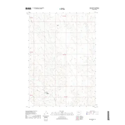 2017 Red Scaffold2017 Print · USGSCovers Red Scaffold, including District 2, Ziebach County, and other nearby areas
 - 2021 Map of Red Scaffold, 2021 Print
 2021 Red Scaffold2021 Print · USGSThe community of Red Scaffold and the surrounding plains are captured in this modern survey, showing a landscape defined by prairie creek systems. Researchers can locate the Sacred Heart Catholic Cem and trace the paths of Red Scaffold Creek and Cherry Creek near the Staple M Cliffs.
End of results
Showing maps 1-8 of 8
Frequently asked questions
- What are the different types of historical maps available for Red Scaffold?
- What is the oldest map of Red Scaffold?
- Where can I purchase historical maps of Red Scaffold for my home or office?
- Where can I download high-res historical maps of Red Scaffold?
- Are there historical topographic maps available for Red Scaffold?
- Is there historical aerial imagery available for Red Scaffold?
- Where are historical maps of Red Scaffold sourced from?