Old Maps of Bridger, South Dakota for Genealogy
Trace your family roots with 8 historic maps of Bridger. These high-res maps reveal old neighborhoods, homesites, landmarks, and streets — helping you uncover where your ancestors lived and how the area evolved over time.
- Explore historic neighborhoods: Identify where your relatives may have lived in the 1800s or 1900s.
- Compare maps over time: Trace the changes in streets, buildings, and landmarks for multi-generational research.
- Perfect for genealogy & ancestry research: Used by family historians and researchers to map out lineage and migration.
These maps are an incredible resource for exploring your personal connection to Bridger's past.
Bridger, SD maps
(8)- 1954 Map of Pierre, 1968 Print
 1954 Pierre1968 Print · USGSThe Missouri River and the newly formed Oahe Reservoir define central South Dakota in the 1950s. Genealogists and local historians can trace early settlements and rail stops like Eakin Siding, Mission Ridge, and Ottumwa.2 unique versions available
 - 1955 Map of Bridger, 1956 Print
 1955 Bridger1956 Print · USGSThe Cheyenne River Indian Reservation and the settlement of Bridger are documented during the mid-fifties. Genealogists and researchers can locate family-named landmarks like VJ Ranch, Hatchet Spring, and the expansive Barthold Flat.
 - 1958 Map of Pierre
 1958 Pierre1958 Print · USGSCentral South Dakota is documented during the mid-fifties, just as the Missouri River valley was being transformed by the massive Oahe Dam project. Researchers can trace the early Oahe Reservoir shoreline and find remote outposts like Milesville, Onida, and Giddings Flat.
 - 1986 Map of Cherry Creek
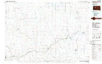 1986 Cherry Creek1986 Print · USGSWest-central South Dakota comes to life in the mid-1980s, centered on the Cheyenne River Indian Reservation and the river's winding path. Genealogists and historians can trace the remote settlements of Red Scaffold and Milesville or locate family landmarks like Staple M Cliffs and Robbs Flat.2 unique versions available
 - 2012 Map of Bridger, 2012 Print
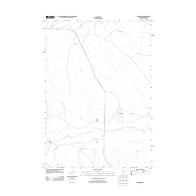 2012 Bridger2012 Print · USGSThe Cheyenne River valley in Ziebach County remains a sparsely settled ranching landscape in the early twenty-first century. Genealogists and local historians can trace the vicinity of the Bridger settlement and map the locations of V J Ranch and Lake Buffalo.
 - 2015 Map of Bridger, 2015 Print
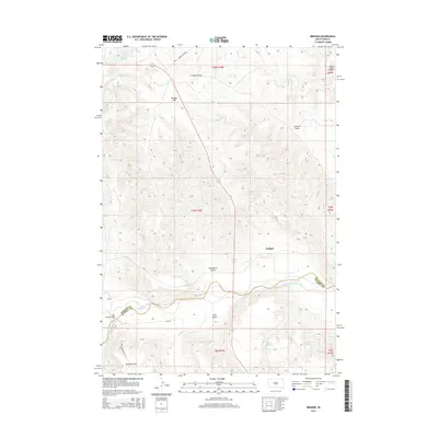 2015 Bridger2015 Print · USGSCrossing the Ziebach and Haakon county line, this modern survey documents the Cheyenne River valley near the settlement of Bridger. Researchers can trace local landmarks like Four Corner Bridge, Hatchet Spring, and the expansive Bridger Flat.
 - 2017 Map of Bridger, 2017 Print
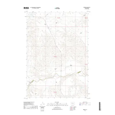 2017 Bridger2017 Print · USGSZiebach County ranching country is captured here in the late 2010s, where the Cheyenne River forms a natural border. Genealogists and local historians can trace the roads around Bridger or locate landmarks like Four Corner Bridge and Barthold Flat.
 - 2021 Map of Bridger, 2021 Print
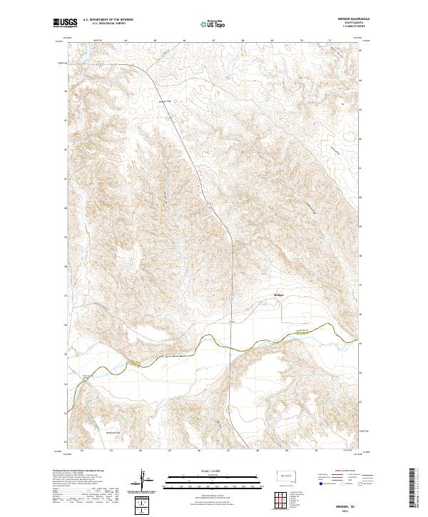 2021 Bridger2021 Print · USGSZiebach County and the Cheyenne River valley are shown here in the early 2020s as a sparsely settled landscape of high flats and winding draws. Local historians can trace the geography around Bridger, the crossing at Four Corner Bridge, and landmarks like Barthold Flat.
End of results
Showing maps 1-8 of 8
Frequently asked questions
- What are the different types of historical maps available for Bridger?
- What is the oldest map of Bridger?
- Where can I purchase historical maps of Bridger for my home or office?
- Where can I download high-res historical maps of Bridger?
- Are there historical topographic maps available for Bridger?
- Is there historical aerial imagery available for Bridger?
- Where are historical maps of Bridger sourced from?