Old Maps of Whitaker, Tennessee for Academic Research
Study the evolution of Whitaker with 11 high-resolution historic maps. Whether you're teaching, researching, or modeling changes in land use, these maps provide essential visual documentation of urban, environmental, and geographic change.
- Analyze long-term change: Track patterns in development, transportation, and natural features.
- Ideal for environmental or urban studies: Support academic projects with primary historical map data.
- Use in the classroom or lab: Educators and researchers rely on these maps to bring historical context to life.
These maps are a powerful tool for teaching, research, and visualizing how Whitaker has changed over the decades.
Whitaker, TN maps
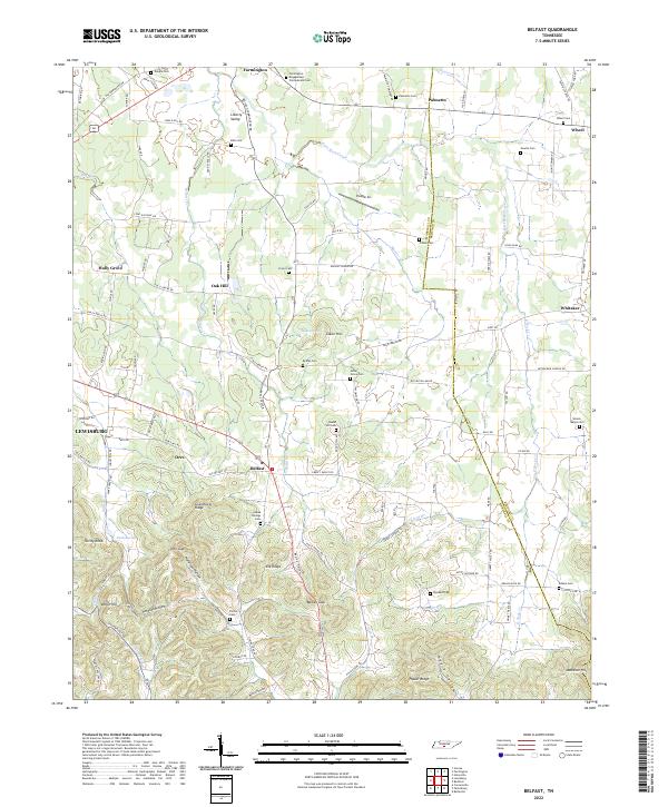
(11)- 1936 Map of Belfast
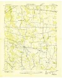 1936 Belfast1936 Print · USGSMarshall County rural life and the local rail economy are captured here just before the late 1930s. Genealogists and historians can trace family locations through Bethel Cem, Cedar Grove Sch, and churches like Head Springs Ch.
 - 1944 Map of Shelbyville
 1944 Shelbyville1944 Print · USGSMid-century Middle Tennessee is captured here during the wartime mobilization of the 1940s. Genealogists and researchers can trace family lands near Bugscuffle, Shelbyville Mills, and the expansive Camp Forrest Military Res.
 - 1949 Map of Belfast, 1975 Print
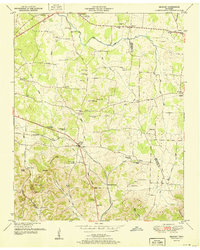
 1949 Belfast1975 Print · USGSMarshall County in the late nineteen-forties is a landscape of rural schoolhouses and family cemeteries connected by the Louisville and Nashville RR. Genealogists can trace family lines near Belfast through local landmarks like Temple Cem and Cedar Grove School.2 unique versions available
 - 1951 Map of Belfast
 1951 Belfast1951 Print · USGSMarshall County and the Tennessee valley transition toward the mid-century as the Nashville Chattanooga and St Louis Railroad moves freight through Belfast. Researchers can trace family history through local landmarks like Confederate Memorial Park, Union Sch, and the Temple Cem.3 unique versions available
 - 1956 Map of Columbia, 1960 Print
 1956 Columbia1960 Print · USGSMiddle Tennessee in the mid-fifties presents a landscape of established river towns and critical rail hubs before the arrival of the modern interstate system. Researchers can trace the routes of the Louisville and Nashville railroad or locate historic landmarks like Stones River National Military Park and the Tennessee National Wildlife Refuge.6 unique versions available
 - 1981 Map of Tullahoma, 1982 Print
 1981 Tullahoma1982 Print · USGSSouthern Tennessee enters the 1980s with a mix of aerospace technology and deep rural roots. Researchers can trace the L & N RR through Shelbyville and Fayetteville or locate family sites like Old Salem Cem and Blanton Chapel near the Cumberland Plateau.
 - 2010 Map of Belfast, 2010 Print
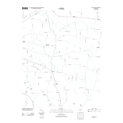
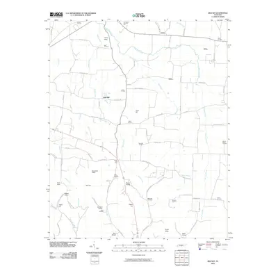 2010 Belfast2010 Print · USGSCovers Whitaker, including Lewisburg, Belfast, and other nearby areas
 - 2013 Map of Belfast, 2013 Print
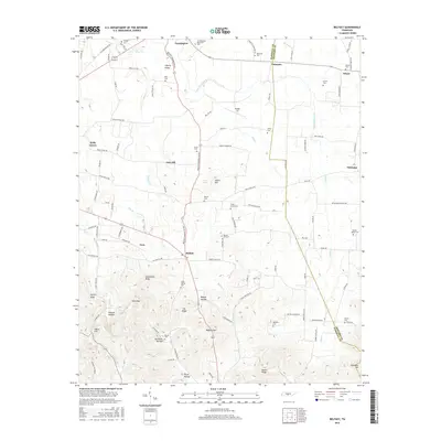
 2013 Belfast2013 Print · USGSCovers Whitaker, including Lewisburg, Belfast, and other nearby areas
 - 2016 Map of Belfast, 2016 Print
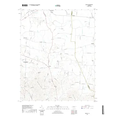
 2016 Belfast2016 Print · USGSCovers Whitaker, including Lewisburg, Belfast, and other nearby areas
 - 2019 Map of Belfast, 2019 Print
 2019 Belfast2019 Print · USGSCovers Whitaker, including Lewisburg, Belfast, and other nearby areas
 - 2022 Map of Belfast, 2022 Print
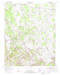
 2022 Belfast2022 Print · USGSMarshall County rural life and Civil War heritage are preserved here in the early twenty-first century. Genealogists can locate family burial sites like Bills Cem and Head Springs Cem or trace the historic Old Belfast Rd through the valley.
End of results
Showing maps 1-11 of 11
Top cities near Whitaker
- Shelbyville historical maps
- Lewisburg historical maps
- Chapel Hill historical maps
- Cornersville historical maps
- Petersburg historical maps
Frequently asked questions
- What are the different types of historical maps available for Whitaker?
- What is the oldest map of Whitaker?
- Where can I purchase historical maps of Whitaker for my home or office?
- Where can I download high-res historical maps of Whitaker?
- Are there historical topographic maps available for Whitaker?
- Is there historical aerial imagery available for Whitaker?
- Where are historical maps of Whitaker sourced from?