Old Maps of Bass Bay, Tennessee for Academic Research
Study the evolution of Bass Bay with 10 high-resolution historic maps. Whether you're teaching, researching, or modeling changes in land use, these maps provide essential visual documentation of urban, environmental, and geographic change.
- Analyze long-term change: Track patterns in development, transportation, and natural features.
- Ideal for environmental or urban studies: Support academic projects with primary historical map data.
- Use in the classroom or lab: Educators and researchers rely on these maps to bring historical context to life.
These maps are a powerful tool for teaching, research, and visualizing how Bass Bay has changed over the decades.
Bass Bay, TN maps
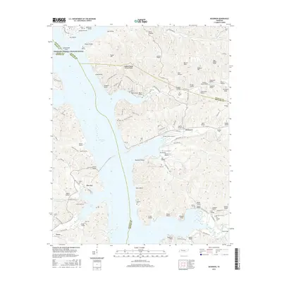
(10)- 1936 Map of McKinnon
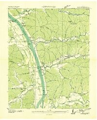 1936 McKinnon1936 Print · USGSThe Tennessee River valley in the 1930s is revealed as a bustling hub of river landings and rail traffic before the landscape was transformed. Researchers can trace the river economy through the Danville Ferry, community ties at Griffin Ch, and the local rail stop at McKinnon.
 - 1950 Map of Mc Kinnon, 1954 Print
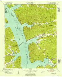 1950 Mc Kinnon1954 Print · USGSThe Tennessee River valley is shown shortly after the creation of Kentucky Lake, when the rising waters reshaped local life. Genealogists and historians can trace numerous family burial sites like Wynns Cem and rail-era landmarks such as the Louisville and Nashville line and McKinnon.3 unique versions available
 - 1956 Map of Nashville, 1971 Print
 1956 Nashville1971 Print · USGSThe Tennessee-Kentucky borderlands come into focus in the mid-1960s as major reservoir projects transformed the Cumberland and Tennessee river valleys. Researchers can trace the rail networks of the Louisville and Nashville and visit sites like Fort Campbell and Fort Donelson National Military Park.2 unique versions available
 - 1959 Map of Nashville
 1959 Nashville1959 Print · USGSMiddle Tennessee and Southern Kentucky come into focus during the late fifties, showing the region's transition into a modern transportation and military hub. Researchers can trace the sprawling Fort Campbell Military Reservation or locate historic rail stops along the Tennessee Central Ry and Illinois Central RR.
 - 1985 Map of Dickson
 1985 Dickson1985 Print · USGSMid-Tennessee in the mid-1980s was defined by the intersection of the Cumberland and Tennessee rivers and a massive network of wildlife refuges. Researchers can trace the Seaboard System rail lines connecting Waverly, Dickson, and White Bluff, or locate old landmarks near Fort Donelson National Military Park.
 - 2010 Map of McKinnon, 2010 Print
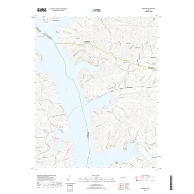
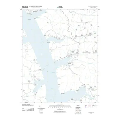 2010 McKinnon2010 Print · USGSCovers Bass Bay, including McKinnon, Cotton Patch Crossroads, and other nearby areas
 - 2013 Map of McKinnon, 2013 Print
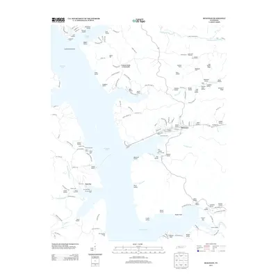 2013 McKinnon2013 Print · USGSCovers Bass Bay, including McKinnon, Cotton Patch Crossroads, and other nearby areas
 - 2016 Map of McKinnon, 2016 Print
 2016 McKinnon2016 Print · USGSCovers Bass Bay, including McKinnon, Cotton Patch Crossroads, and other nearby areas
 - 2019 Map of McKinnon, 2019 Print
 2019 McKinnon2019 Print · USGSCovers Bass Bay, including McKinnon, Cotton Patch Crossroads, and other nearby areas
 - 2022 Map of McKinnon, 2022 Print
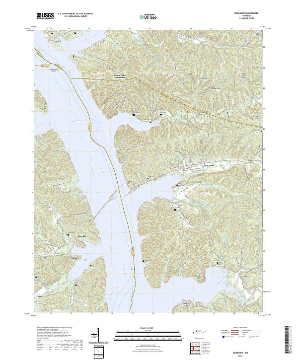 2022 McKinnon2022 Print · USGSThe Tennessee River and Kentucky Lake shoreline are captured here in the early 2020s, revealing a landscape of deep hollows and active ferry crossings. Researchers can trace family names at Martin Cem and Askew Cem or locate the historic crossing at Houston-Benton Ferry.
End of results
Showing maps 1-10 of 10
Top cities near Bass Bay
Frequently asked questions
- What are the different types of historical maps available for Bass Bay?
- What is the oldest map of Bass Bay?
- Where can I purchase historical maps of Bass Bay for my home or office?
- Where can I download high-res historical maps of Bass Bay?
- Are there historical topographic maps available for Bass Bay?
- Is there historical aerial imagery available for Bass Bay?
- Where are historical maps of Bass Bay sourced from?