Old Maps of Cleveland, Tennessee
Explore 24 old maps of Cleveland, spanning from 1886 to today. These high-resolution historic maps reveal how streets, neighborhoods, landmarks, and natural features evolved over time — perfect for genealogy, metal detecting, research, and local history exploration.
What you can do with these maps:
- See how Cleveland changed over time: Compare historical maps to modern-day views to trace roads, homesites, rail lines & more.
- View detailed metadata: Each map includes creators, publishers, year, scale, and archive source.
- Overlay maps with satellite & LiDAR: Visualize the past alongside modern tools to explore terrain & human change.
- Trusted historical sources: Maps sourced from the USGS, Library of Congress, and other archives.
- Access maps your way: View online, download high-res files, or order prints for personal or research use.
Start exploring old maps of Cleveland to uncover forgotten places, hidden landmarks, and the deep history beneath your feet.
Cleveland, TN maps
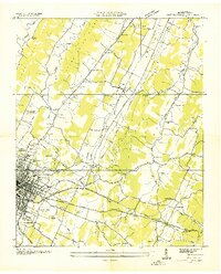
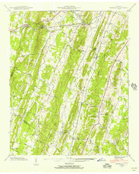
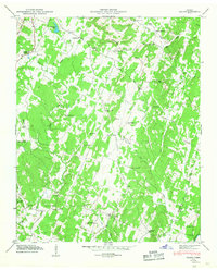
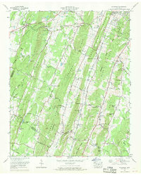
(24)- 1886 Map of Cleveland
 1886 Cleveland1886 Print · USGSCovers Cleveland, including Athens, Dayton, and other nearby areas
 - 1892 Map of Cleveland
 1892 Cleveland1892 Print · USGSCovers Cleveland, including Athens, Dayton, and other nearby areas
 - 1895 Map of Cleveland
 1895 Cleveland1895 Print · USGSCovers Cleveland, including Athens, Dayton, and other nearby areas
 - 1901 Map of Cleveland
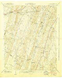
 1901 Cleveland1901 Print · USGSCovers Cleveland, including Athens, Dayton, and other nearby areas4 unique versions available
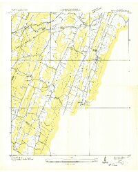
 - 1935 Map of East Cleveland
 1935 East Cleveland1935 Print · USGSCovers Cleveland, including Hill Acres, Foxfire, and other nearby areas
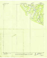
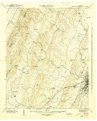
 - 1935 Map of Mc Donald
 1935 Mc Donald1935 Print · USGSCovers Cleveland, including Flint Springs, Black Fox, and other nearby areas
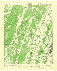
 - 1935 Map of Felker
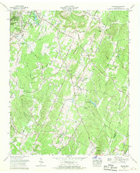
 1935 Felker1935 Print · USGSCovers Cleveland, including Mount Vernon, Coahulla Ranch, and other nearby areas
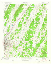
 - 1935 Map of South Cleveland
 1935 South Cleveland1935 Print · USGSCovers Cleveland, including Meadowview, Hidden Valley, and other nearby areas
 - 1940 Map of Mc Donald, 1956 Print
 1940 Mc Donald1956 Print · USGSCovers Cleveland, including Flint Springs, Black Fox, and other nearby areas
 - 1941 Map of Mc Donald
 1941 Mc Donald1941 Print · USGSCovers Cleveland, including Flint Springs, Black Fox, and other nearby areas
 - 1943 Map of East Cleveland, 1946 Print
 1943 East Cleveland1946 Print · USGSCovers Cleveland, including Hill Acres, Foxfire, and other nearby areas2 unique versions available
 - 1943 Map of South Cleveland, 1946 Print
 1943 South Cleveland1946 Print · USGSCovers Cleveland, including Meadowview, Hidden Valley, and other nearby areas4 unique versions available
 - 1946 Map of Felker, 1947 Print
 1946 Felker1947 Print · USGSCovers Cleveland, including Mount Vernon, Coahulla Ranch, and other nearby areas2 unique versions available
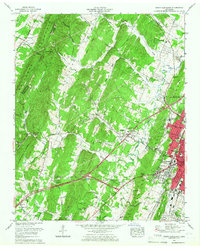
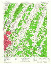
 - 1953 Map of Chattanooga
 1953 Chattanooga1953 Print · USGSCovers Cleveland, including Knoxville, Chattanooga, and other nearby areas
 - 1957 Map of Chattanooga, 1966 Print
 1957 Chattanooga1966 Print · USGSCovers Cleveland, including Knoxville, Chattanooga, and other nearby areas3 unique versions available
 - 1959 Map of Chattanooga
 1959 Chattanooga1959 Print · USGSCovers Cleveland, including Knoxville, Chattanooga, and other nearby areas
 - 1960 Map of Chattanooga
 1960 Chattanooga1960 Print · USGSCovers Cleveland, including Knoxville, Chattanooga, and other nearby areas
 - 1964 Map of Chattanooga
 1964 Chattanooga1964 Print · USGSCovers Cleveland, including Knoxville, Chattanooga, and other nearby areas
 - 1965 Map of South Cleveland, 1966 Print
 1965 South Cleveland1966 Print · USGSCovers Cleveland, including Meadowview, Hidden Valley, and other nearby areas2 unique versions available
 - 1965 Map of East Cleveland, 1966 Print
 1965 East Cleveland1966 Print · USGSCovers Cleveland, including Hill Acres, Foxfire, and other nearby areas
 - 1967 Map of Felker, 1970 Print
 1967 Felker1970 Print · USGSCovers Cleveland, including Mount Vernon, Coahulla Ranch, and other nearby areas3 unique versions available
 - 1967 Map of Mc Donald, 1970 Print
 1967 Mc Donald1970 Print · USGSCovers Cleveland, including Flint Springs, Black Fox, and other nearby areas3 unique versions available
 - 1976 Map of East Cleveland, 1977 Print
 1976 East Cleveland1977 Print · USGSCovers Cleveland, including Hill Acres, Foxfire, and other nearby areas
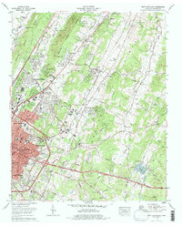
 - 1981 Map of Cleveland
 1981 Cleveland1981 Print · USGSCovers Cleveland, including Athens, Dayton, and other nearby areas2 unique versions available
End of results
Showing maps 1-24 of 24
Top cities near Cleveland
- Chattanooga historical maps
- Collegedale historical maps
- Benton historical maps
- Charleston historical maps
- Cohutta historical maps
- Calhoun historical maps
Top neighborhoods of Cleveland
- South Cleveland historical maps
- Mapleton Hills historical maps
- Mountainbrook historical maps
- North Cleveland historical maps
- Rolling Hills historical maps
- Sequoia Grove historical maps
See more
Frequently asked questions
- What are the different types of historical maps available for Cleveland?
- What is the oldest map of Cleveland?
- Where can I purchase historical maps of Cleveland for my home or office?
- Where can I download high-res historical maps of Cleveland?
- Are there historical topographic maps available for Cleveland?
- Is there historical aerial imagery available for Cleveland?
- Where are historical maps of Cleveland sourced from?