2000s (21st Century) Maps of Pleasant View, Tennessee
Explore 20 historic maps of Pleasant View from the 2000s (21st Century). These maps offer a rare glimpse into what life looked like during the 2000s — showing old roads, neighborhoods, homes, and landmarks that have changed or disappeared over time.
Whether you're researching your family's past, planning a metal detecting trip, or studying how Pleasant View's landscape evolved across the 2000s, these high-resolution maps are a powerful tool for exploring the history of this region.
- Focus on a specific era: All maps on this page are from the 2000s, giving you a focused view of this time period.
- See what’s changed: Compare century-old streets, trails, and buildings to today's modern landscape using overlays and satellite layers.
- Research with precision: Use these maps for genealogy, historical research, land use analysis, or educational projects.
- View, download, or print: Maps are fully viewable online in high resolution, and can be downloaded or printed for your own records.
Start exploring Pleasant View's history through authentic maps from the 2000s. This is your window into the past.
Pleasant View, TN maps
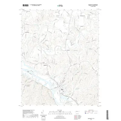
(20)- 2010 Map of Ashland City, 2010 Print
 2010 Ashland City2010 Print · USGSCovers Pleasant View, including Ashland City, Bethlehem, and other nearby areas
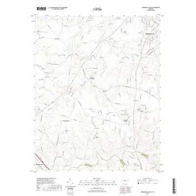
 - 2010 Map of Pleasant View, 2010 Print
 2010 Pleasant View2010 Print · USGSCovers Pleasant View, including Coopertown, Turnersville, and other nearby areas
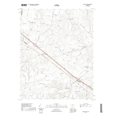
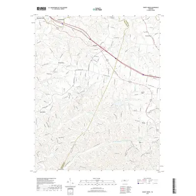
 - 2010 Map of Forest Grove, 2010 Print
 2010 Forest Grove2010 Print · USGSCovers Pleasant View, including Nashville, Coopertown, and other nearby areas
 - 2010 Map of Springfield South, 2010 Print
 2010 Springfield South2010 Print · USGSCovers Pleasant View, including Nashville, Springfield, and other nearby areas
 - 2013 Map of Ashland City, 2013 Print
 2013 Ashland City2013 Print · USGSCovers Pleasant View, including Ashland City, Bethlehem, and other nearby areas
 - 2013 Map of Pleasant View, 2013 Print
 2013 Pleasant View2013 Print · USGSCovers Pleasant View, including Coopertown, Turnersville, and other nearby areas
 - 2013 Map of Springfield South, 2013 Print
 2013 Springfield South2013 Print · USGSCovers Pleasant View, including Nashville, Springfield, and other nearby areas
 - 2013 Map of Forest Grove, 2013 Print
 2013 Forest Grove2013 Print · USGSCovers Pleasant View, including Nashville, Coopertown, and other nearby areas
 - 2016 Map of Springfield South, 2016 Print
 2016 Springfield South2016 Print · USGSCovers Pleasant View, including Nashville, Springfield, and other nearby areas
 - 2016 Map of Pleasant View, 2016 Print
 2016 Pleasant View2016 Print · USGSCovers Pleasant View, including Coopertown, Turnersville, and other nearby areas
 - 2016 Map of Forest Grove, 2016 Print
 2016 Forest Grove2016 Print · USGSCovers Pleasant View, including Nashville, Coopertown, and other nearby areas
 - 2016 Map of Ashland City, 2016 Print
 2016 Ashland City2016 Print · USGSCovers Pleasant View, including Ashland City, Bethlehem, and other nearby areas
 - 2019 Map of Ashland City, 2019 Print
 2019 Ashland City2019 Print · USGSCovers Pleasant View, including Ashland City, Bethlehem, and other nearby areas
 - 2019 Map of Pleasant View, 2019 Print
 2019 Pleasant View2019 Print · USGSCovers Pleasant View, including Coopertown, Turnersville, and other nearby areas
 - 2019 Map of Springfield South, 2019 Print
 2019 Springfield South2019 Print · USGSCovers Pleasant View, including Nashville, Springfield, and other nearby areas
 - 2019 Map of Forest Grove, 2019 Print
 2019 Forest Grove2019 Print · USGSCovers Pleasant View, including Nashville, Coopertown, and other nearby areas
 - 2022 Map of Ashland City, 2022 Print
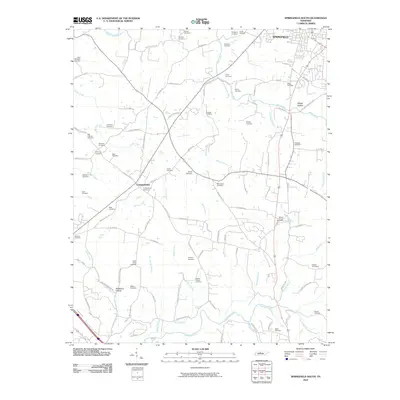
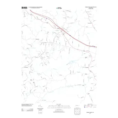
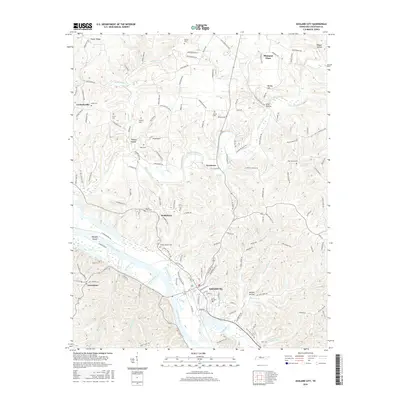
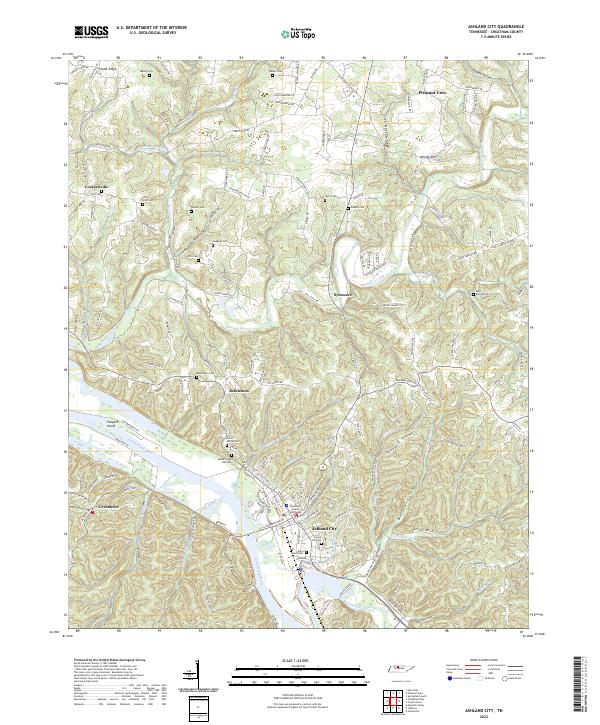 2022 Ashland City2022 Print · USGSAshland City and the surrounding Cheatham County hills are documented here in the early twenty-first century as the landscape maintains its traditional river-and-hollow character. Researchers can pinpoint family burial sites like Teasley Cem and Hunt Cem or locate the historic Cheatham County Courthouse near the Cumberland River.
 - 2022 Map of Pleasant View, 2022 Print
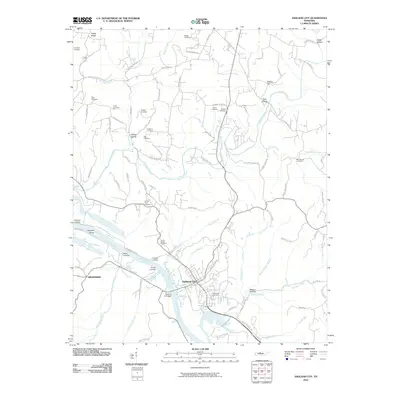
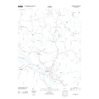
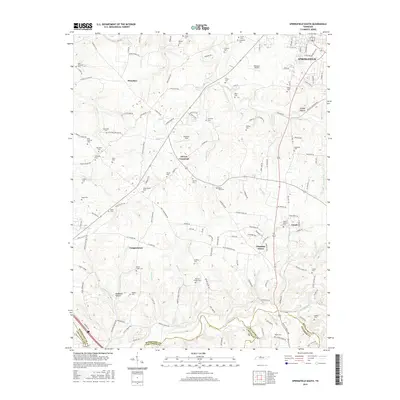
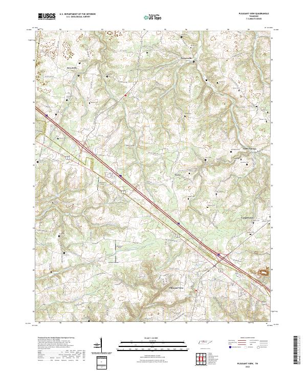 2022 Pleasant View2022 Print · USGSThe rural borderlands between Cheatham and Robertson counties are captured here in the early twenty-first century as modern transit corridors meet deep-rooted family lands. Researchers can locate dozens of historic burial sites, from Shepard Cem and Luter Cem to the family plots near Sandy Springs and Gause.
 - 2022 Map of Forest Grove, 2022 Print
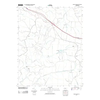
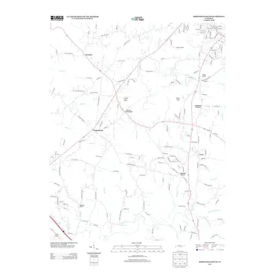
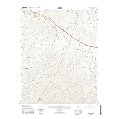
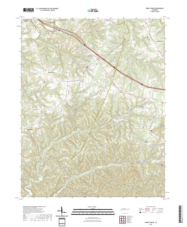 2022 Forest Grove2022 Print · USGSThe ridges and hollows of Cheatham and Robertson counties are documented here in the early twenty-first century. Researchers can locate family landmarks like Gupton Cem or trace the rural crossroads of Paradise Ridge and Bearwallow.
 - 2022 Map of Springfield South, 2022 Print
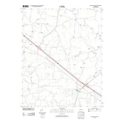
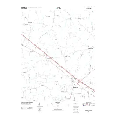
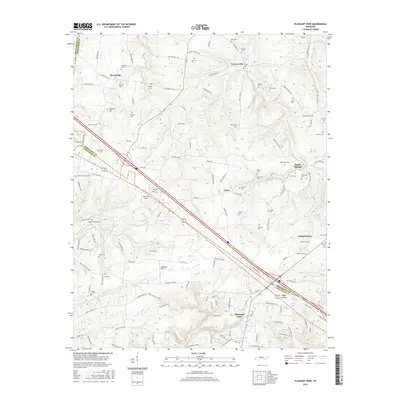
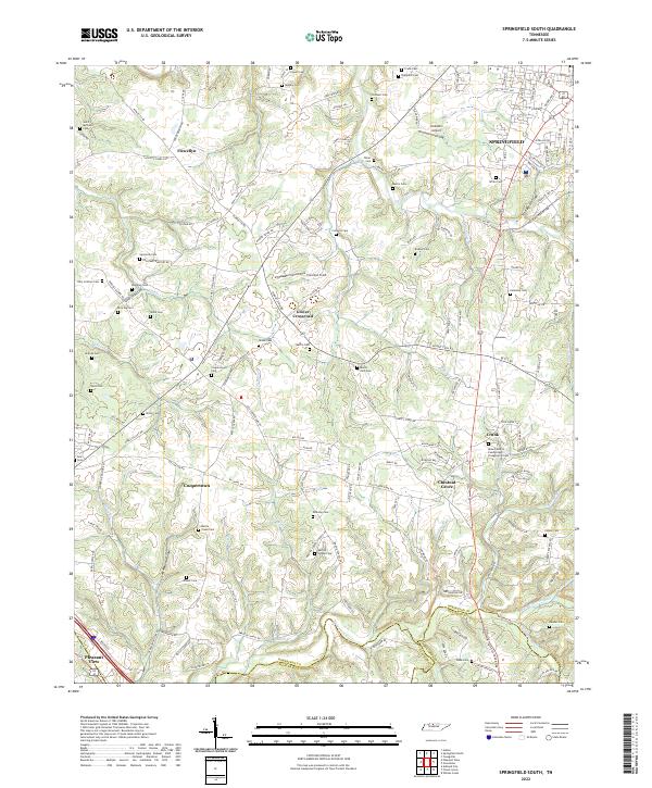 2022 Springfield South2022 Print · USGSThe rural stretches south of SPRINGFIELD come into focus during the early twenty-first century as old family homesteads meet modern suburban growth. Genealogists can trace dozens of burial sites including Billy Cothron Cem and Saint Michaels Cem near Flewellyn.
End of results
Showing maps 1-20 of 20
Top cities near Pleasant View
- Nashville historical maps
- Clarksville historical maps
- Springfield historical maps
- Greenbrier historical maps
- Ashland City historical maps
- Coopertown historical maps
See more
Top neighborhoods of Pleasant View
- Oaklawn historical maps
- Harris Farms historical maps
- The Estates historical maps
- Plantation historical maps
Frequently asked questions
- What are the different types of historical maps available for Pleasant View?
- What is the oldest map of Pleasant View?
- Where can I purchase historical maps of Pleasant View for my home or office?
- Where can I download high-res historical maps of Pleasant View?
- Are there historical topographic maps available for Pleasant View?
- Is there historical aerial imagery available for Pleasant View?
- Where are historical maps of Pleasant View sourced from?