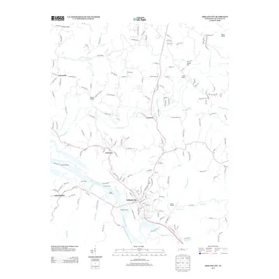
2013 Map of Ashland City
USGS Topo · Published 2013About this map
Ashland City sits along the northern bank of the Cumberland River, serving as a central hub for this portion of Cheatham County. The landscape is defined by the winding river and its many tributaries, including Sycamore Creek and Big Bluff Creek. The river's historical importance for transit is evidenced by several named river access points such as Miles Landing, Crockets Landing, and the Ashland City Dock.
Find a feature on this map
167 named features on this map. Tap any name to fly to it.
Don’t see what you’re looking for? This feature index may not catch every label — zoom into the map to look around manually.
Map Details
Editions of this 2013 Ashland City Map
This is the sole edition of this map. No revisions or reprints were ever made.
Other maps of this area

1903 · Nashville
USGS Topo · 1:125,000

1930 · White Bluff
USGS Topo · 1:62,500

1931 · Ridgetop
USGS Topo · 1:62,500

1932 · Nashville
USGS Topo · 1:62,500

1933 · White Bluff
USGS Topo · 1:62,500

1935 · Ridgetop
USGS Topo · 1:62,500

1955 · Forest Grove
USGS Topo · 1:24,000

1955 · Scottsboro
USGS Topo · 1:24,000

1956 · Nashville
USGS Topo · 1:250,000

1957 · Cheatham Dam
USGS Topo · 1:24,000