
Loading...
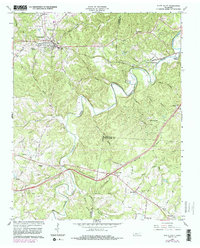
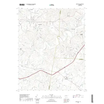
Loading map...1933 Map of White Bluff
USGS Topo · Published 1933About this map
The Harpeth River dominates this 1930s landscape, winding through a series of dramatic loops including Bells Bend, Mound Bottom, and the tightly constricted neck of The Narrows. This intricate waterway serves as the topographical anchor for the surrounding rural communities of White Bluff and Kingston Springs, where the Nashville Chattanooga and St Louis Ry provides a critical transportation corridor.
Find a feature on this map
75 named features on this map. Tap any name to fly to it.
Don’t see what you’re looking for? This feature index may not catch every label — zoom into the map to look around manually.
Map Details
Date Portrayed1933
Date Published1933
PublisherU.S. Geological Survey
Map TypeTopographic
Scale1:62,500
Physical Dimensions16.5 x 20 inches
Editions of this 1933 White Bluff Map
This is the sole edition of this map. No revisions or reprints were ever made.
Historical Maps of Nashville Through Time
8 maps found

Featured Locations
Source Details
SourceU.S. Geological Survey
CopyrightPublic Domain