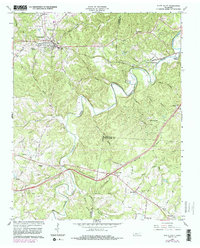
1930 Map of White Bluff
USGS Topo · Published 1953About this map
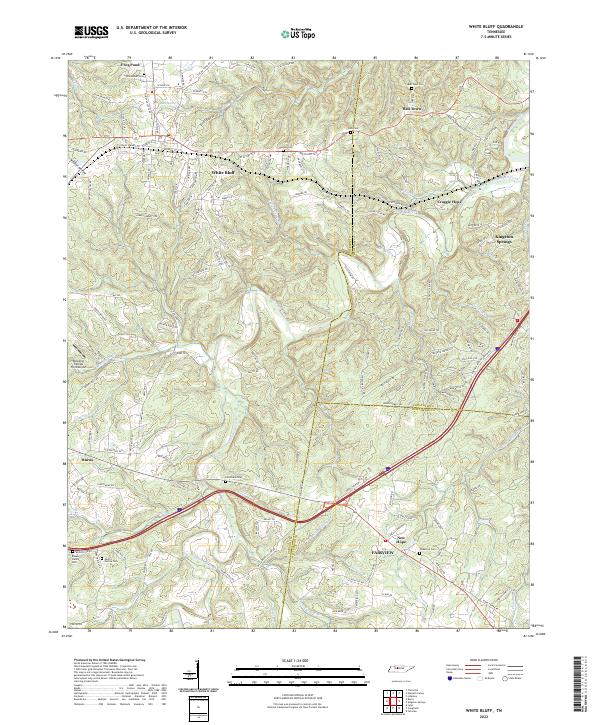
The Harpeth River carves a dramatic, winding path across this 1930 survey of Middle Tennessee, creating sharp oxbows at The Narrows and Mound Bottom. The landscape is defined by the convergence of several major waterways, including the Cumberland River and South Harpeth River, which shaped the early development of Cheatham Co, Davidson Co, and Dickson Co. Transportation is dominated by the Nashville Chattanooga and St Louis RR, which parallels the Nashville and St Louis Road through settlements like White Bluff and Kingston Springs. Rural life is meticulously documented through family-named landmarks and local institutions, ranging from William Chapel to a dense network of country schools such as Opossum Sch and Claylick Sch, reflecting the community structure before mid-century modernization shifted the local economy.
Find a feature on this map
69 named features on this map. Tap any name to fly to it.
Don’t see what you’re looking for? This feature index may not catch every label — zoom into the map to look around manually.
Map Details
Editions of this 1930 White Bluff Map
This is the sole edition of this map. No revisions or reprints were ever made.
Historical Maps of Nashville Through Time
8 maps found