2000s (21st Century) Maps of Grassy Fork, Tennessee
Explore 6 historic maps of Grassy Fork from the 2000s (21st Century). These maps offer a rare glimpse into what life looked like during the 2000s — showing old roads, neighborhoods, homes, and landmarks that have changed or disappeared over time.
Whether you're researching your family's past, planning a metal detecting trip, or studying how Grassy Fork's landscape evolved across the 2000s, these high-resolution maps are a powerful tool for exploring the history of this region.
- Focus on a specific era: All maps on this page are from the 2000s, giving you a focused view of this time period.
- See what’s changed: Compare century-old streets, trails, and buildings to today's modern landscape using overlays and satellite layers.
- Research with precision: Use these maps for genealogy, historical research, land use analysis, or educational projects.
- View, download, or print: Maps are fully viewable online in high resolution, and can be downloaded or printed for your own records.
Start exploring Grassy Fork's history through authentic maps from the 2000s. This is your window into the past.
Grassy Fork, TN maps
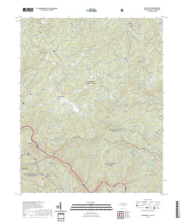
(6)- 2003 Map of Waterville, 2004 Print
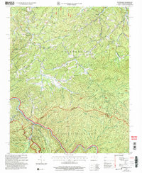 2003 Waterville2004 Print · USGSThe Tennessee and North Carolina borderlands come to life in this early 2000s study of the Great Smoky Mountains. Genealogists and hikers can trace the Appalachian Trail past Cogdill Chapel and explore old settlements like Tom Town and Waterville.
 - 2011 Map of Waterville, 2011 Print
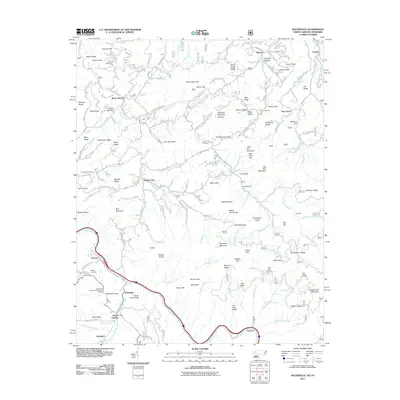 2011 Waterville2011 Print · USGSCovers Grassy Fork, including Waterville, Raven Branch, and other nearby areas
 - 2013 Map of Waterville, 2013 Print
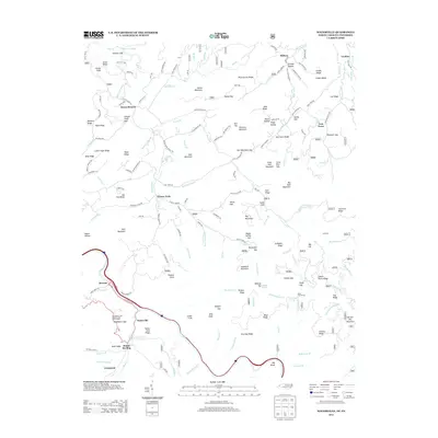 2013 Waterville2013 Print · USGSCovers Grassy Fork, including Waterville, Raven Branch, and other nearby areas
 - 2016 Map of Waterville, 2016 Print
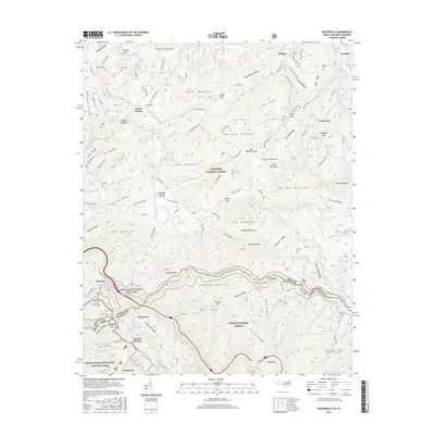 2016 Waterville2016 Print · USGSCovers Grassy Fork, including Waterville, Raven Branch, and other nearby areas
 - 2019 Map of Waterville, 2019 Print
 2019 Waterville2019 Print · USGSCovers Grassy Fork, including Waterville, Raven Branch, and other nearby areas
 - 2022 Map of Waterville, 2022 Print
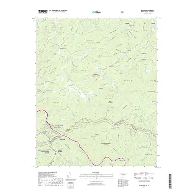
 2022 Waterville2022 Print · USGSThe North Carolina and Tennessee borderlands meet here among the peaks of the Great Smokies and Pisgah Forest. Genealogists and hikers can trace the Appalachian Trail past family landmarks like Varner Cem and Jonas Phillips Cem.
End of results
Showing maps 1-6 of 6
Top cities near Grassy Fork
Frequently asked questions
- What are the different types of historical maps available for Grassy Fork?
- What is the oldest map of Grassy Fork?
- Where can I purchase historical maps of Grassy Fork for my home or office?
- Where can I download high-res historical maps of Grassy Fork?
- Are there historical topographic maps available for Grassy Fork?
- Is there historical aerial imagery available for Grassy Fork?
- Where are historical maps of Grassy Fork sourced from?