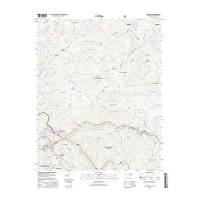
2016 Map of Waterville
USGS Topo · Published 2016About this map
The Pigeon River carves a deep path through the southern Appalachians on the border of North Carolina and Tennessee in this 2016 survey. This map documents a landscape heavily defined by conservation, where the boundaries of the Pisgah National Forest, Cherokee National Forest, and Great Smoky Mountains National Park converge. The settlement of Waterville serves as a focal point near the river, while the Appalachian National Scenic Trail winds along the high ridgelines of Snowbird Mountain and Wildcat Top.
Find a feature on this map
154 named features on this map. Tap any name to fly to it.
Don’t see what you’re looking for? This feature index may not catch every label — zoom into the map to look around manually.
Map Details
Editions of this 2016 Waterville Map
This is the sole edition of this map. No revisions or reprints were ever made.
Other maps of this area

1893 · Mt Guyot
USGS Topo · 1:125,000

1894 · Asheville
USGS Topo · 1:125,000

1901 · Asheville
USGS Topo · 1:125,000

1912 · Mt Guyot
USGS Topo · 1:125,000

1935 · Newport
USGS Topo · 1:48,000

1935 · Hartford
USGS Topo · 1:24,000

1935 · Paint Rock
USGS Topo · 1:24,000

1935 · Neddy Mountain
USGS Topo · 1:24,000

1935 · Lemon Gap
USGS Topo · 1:24,000

1936 · Hepco
USGS Topo · 1:24,000