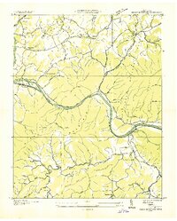
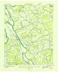
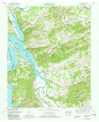
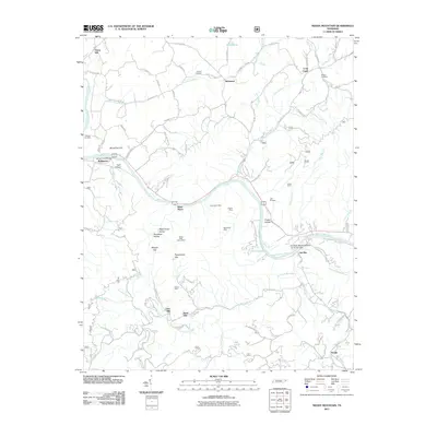
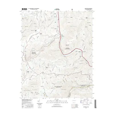
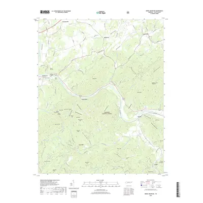
1935 Map of Neddy Mountain
USGS Topo · Published 1935About this map
The French Broad River carves a deep path through Cocke County in this 1935 survey, a landscape defined by the prominent ridge of Neddy Mountain and the expansive reaches of the Pisgah National Forest. This era shows a rural economy deeply tied to the valley's water and terrain, where Long Creek Mill and Click Mill suggest the local processing of timber or grain. The settlement pattern is dispersed, with small communities like Del Rio, Baltimore, and West Myers serving as local hubs along the Southern Highway and the river banks.
Find a feature on this map
87 named features on this map. Tap any name to fly to it.
Don’t see what you’re looking for? This feature index may not catch every label — zoom into the map to look around manually.
Map Details
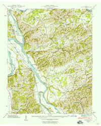
Editions of this 1935 Neddy Mountain Map
This is the sole edition of this map. No revisions or reprints were ever made.
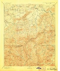
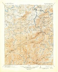
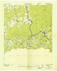
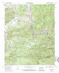
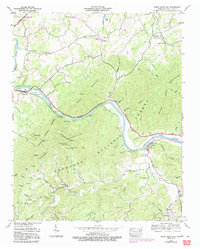
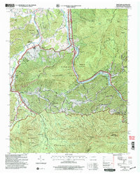
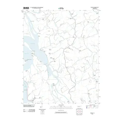
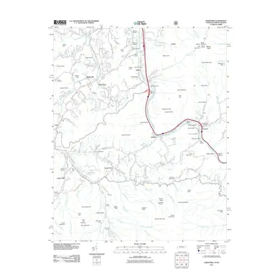
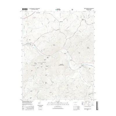
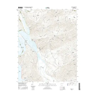
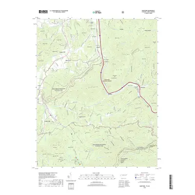
Historical Maps of West Myers Through Time
26 maps found
1893 Mt Guyot
Cocke County, TN
1912 Mt. Guyot
Cocke County, TN
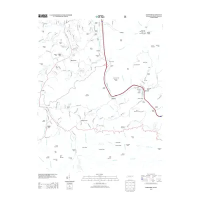
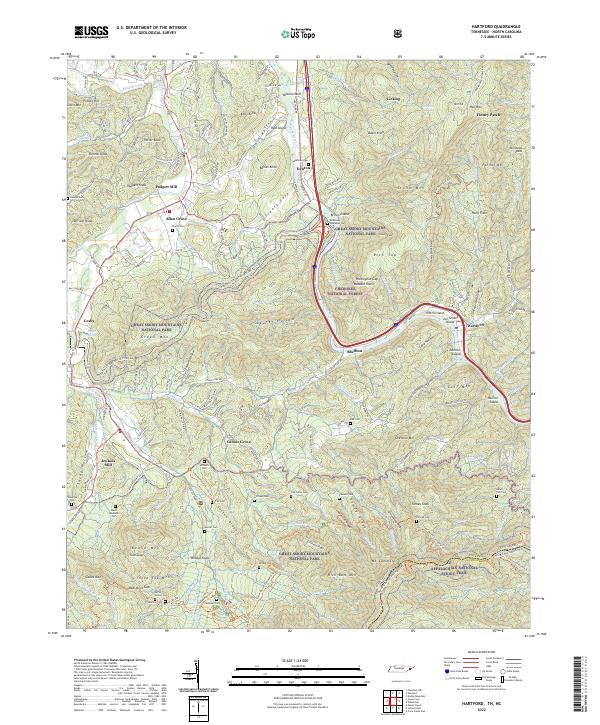
1935 Hartford
Cocke County, TN
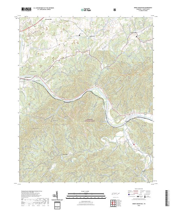
1935 Neddy Mountain
Cocke County, TN
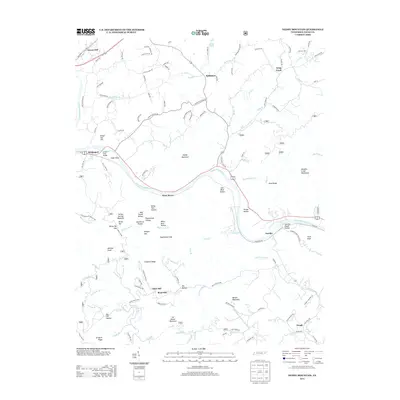
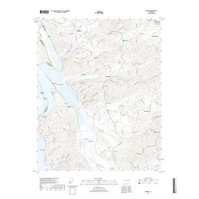
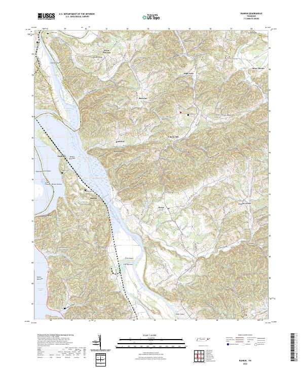
1935 Rankin
Cocke County, TN

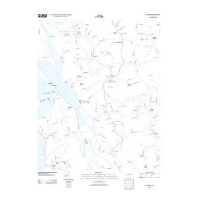
1935 Small
Cocke County, TN
1939 Rankin
Cocke County, TN
1940 Hartford
Cocke County, TN
1940 Neddy Mountain
Cocke County, TN
1961 Rankin
Cocke County, TN
2003 Hartford
Cocke County, TN
2010 Rankin
Cocke County, TN
2011 Hartford
Cocke County, TN
2011 Neddy Mountain
Cocke County, TN
2013 Hartford
Cocke County, TN
2013 Neddy Mountain
Cocke County, TN
2013 Rankin
Cocke County, TN
2016 Hartford
Cocke County, TN
2016 Neddy Mountain
Cocke County, TN
2016 Rankin
Cocke County, TN
2019 Hartford
Cocke County, TN
2019 Neddy Mountain
Cocke County, TN
2019 Rankin
Cocke County, TN
2022 Hartford
Cocke County, TN
2022 Neddy Mountain
Cocke County, TN
2022 Rankin
Cocke County, TN